Damascus, VA to Breaks Interstate Park, VA – 84 Miles
Yesterday we woke up at the Hostel behind the church in Damascus. Max is always quicker at packing up his stuff and being ready to go. I was moving especially slow, so he decided to head out around 730. It was a good thing he went ahead and left because I didn’t get on the road till about 8 and even then I stopped at the grocery store on the way out of town to refuel.
After the grocery store I continued on the highway I was on, but apparently the route had already split off. My detour took me about 4 or 5 miles out of the way and on a super busy highway. Not a great start to the day.
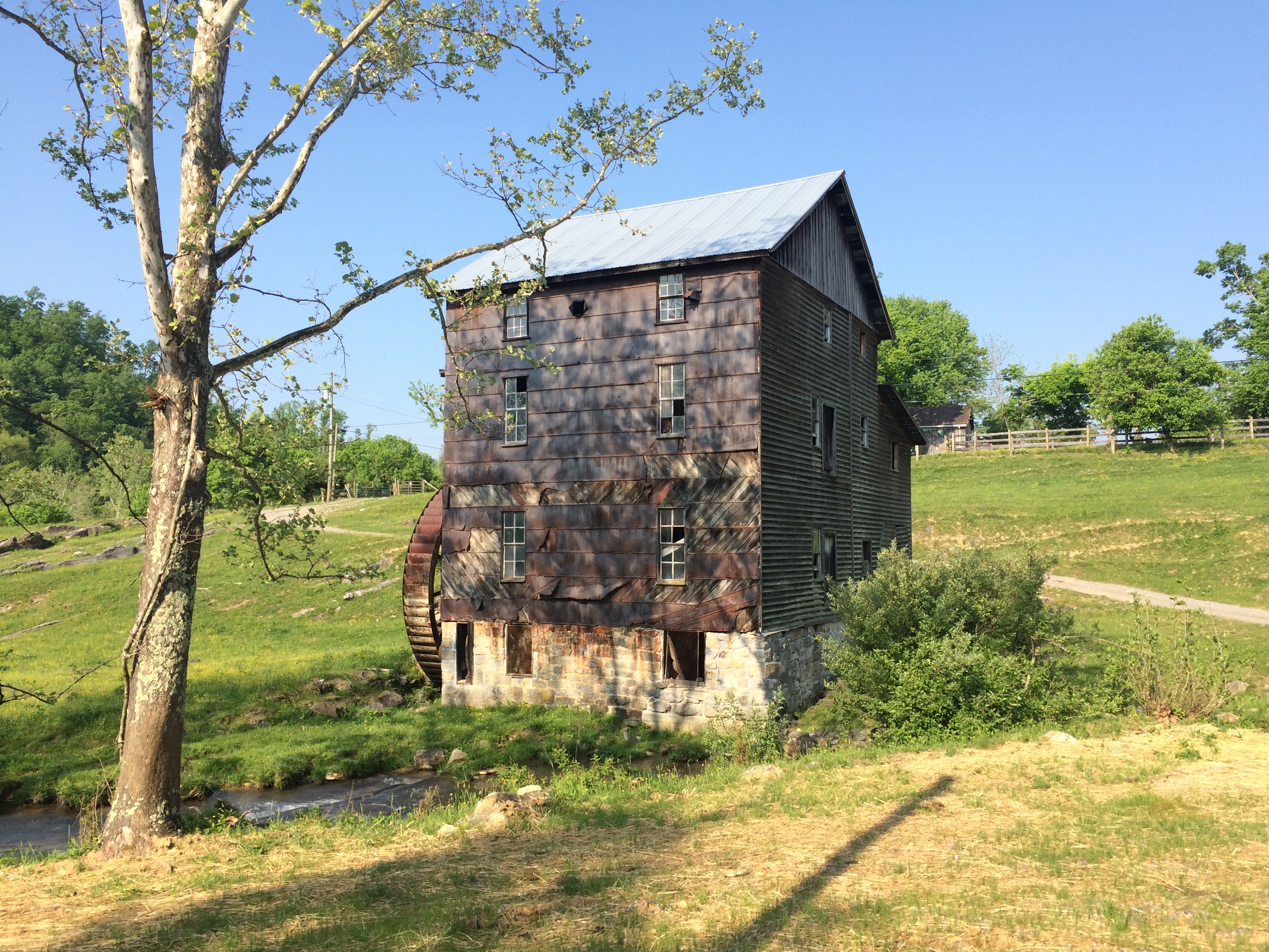
First stop once I was back on route was a town called Meadowview. Somewhere along the way I ran across this old building that looked like it use to be a mill. It was on private property and there were no signs describing what is use to be, but I though it looked pretty cool.
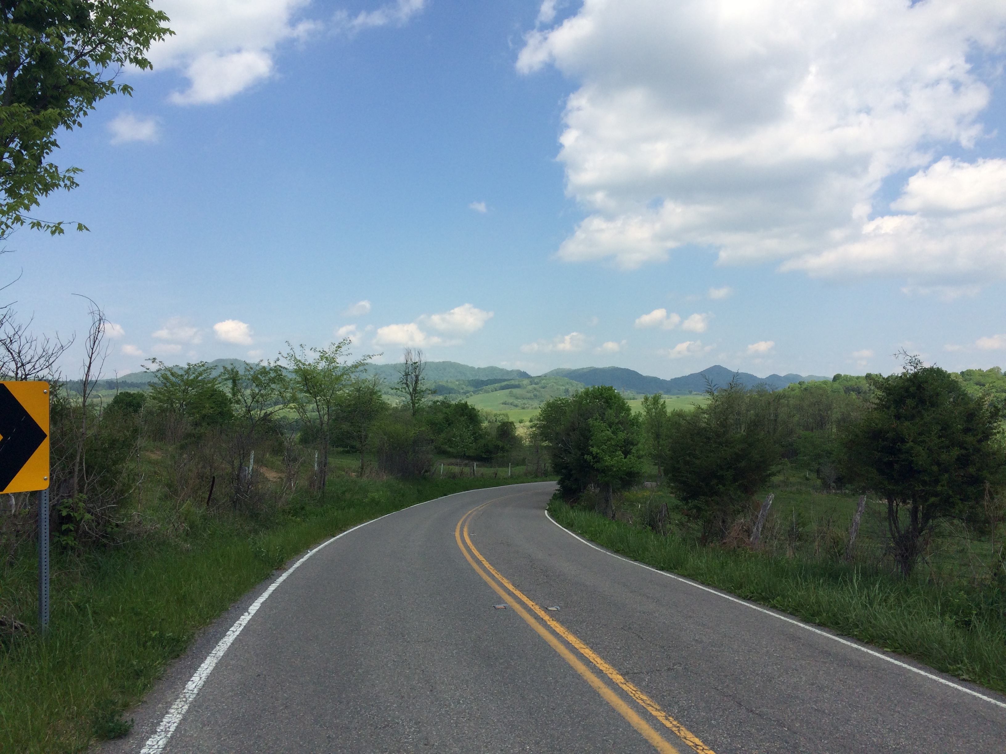
After Meadowview there was a bit of climbing to get to Hayters Gap. The climbing wasn’t bad, but I was a little frustrated as I thought we had left the mountains. Probably should have studied the map a bit more, because there was loads of climbing ahead of me. After Hayters Gap the route climbed again on what seemed like the steepest longest continuous hill of the trip so far. I had to stop and rest more than once. Ended up passes an older Swiss couple that I had seen on the way into Damascus. Tried to exchange a few words, but I think the only thing that got communicated was how terrible the climb was.
The hill down from climb was awesome, sharp switchbacks, steep grade, and banked turns kept the adrenaline going. After the downhill was a town called Rosedale. I stopped at a gas station / restaurant to grab some food. While I was there an older fella struck up a conversation with me. He had a deep accent and looked like he had just come off the golf course with a Ping hat and collared shirt, but you could tell he had worked hard in his day. After some small talk about my ride and what I was doing I asked if he was retired and what he used to do. He said he used to work in the coal mines in the area. When I asked if it was dangerous work he revealed a scar on the inside of his arm all the way up past his elbow. Said he almost lost his entire arm.
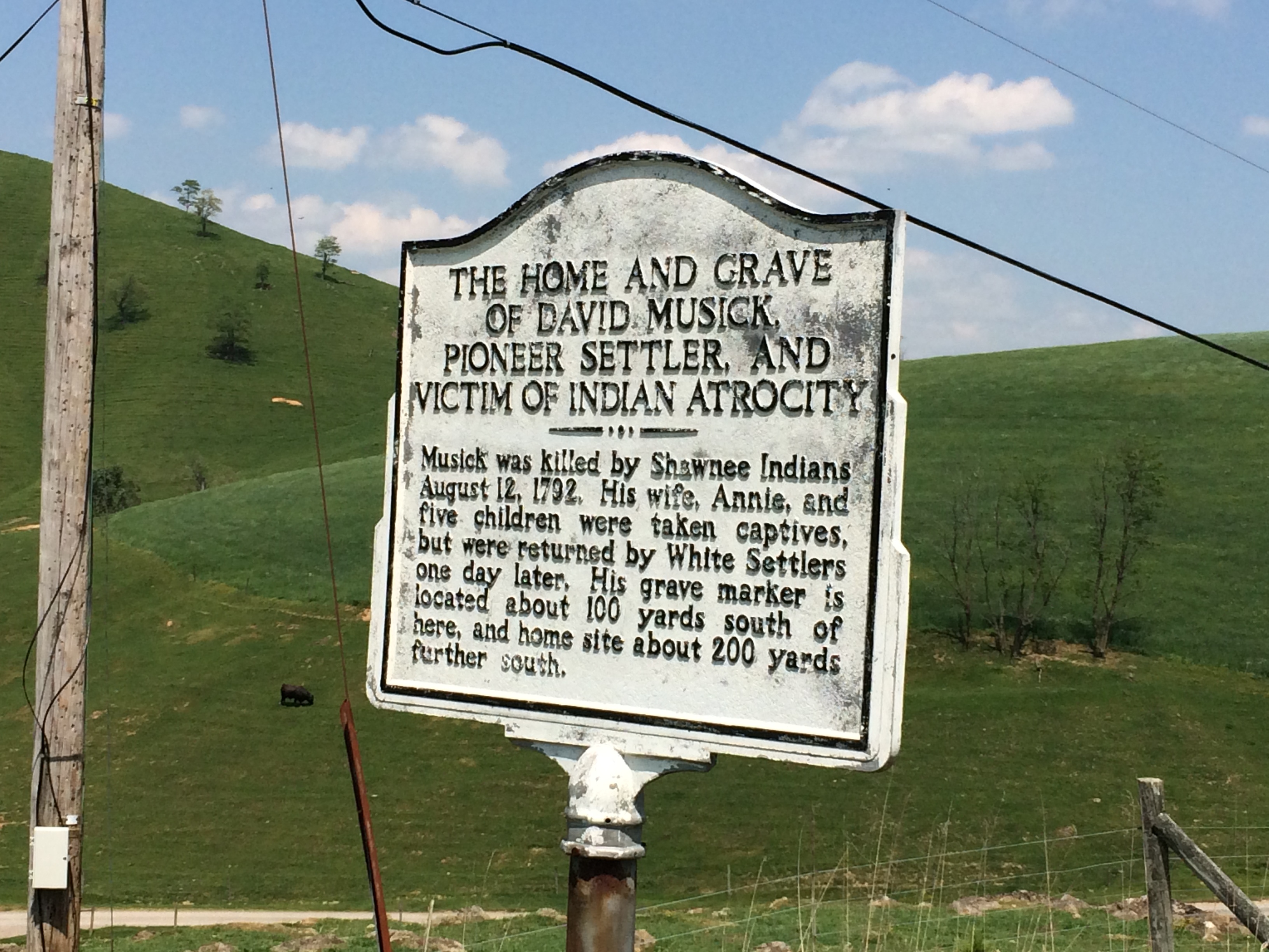
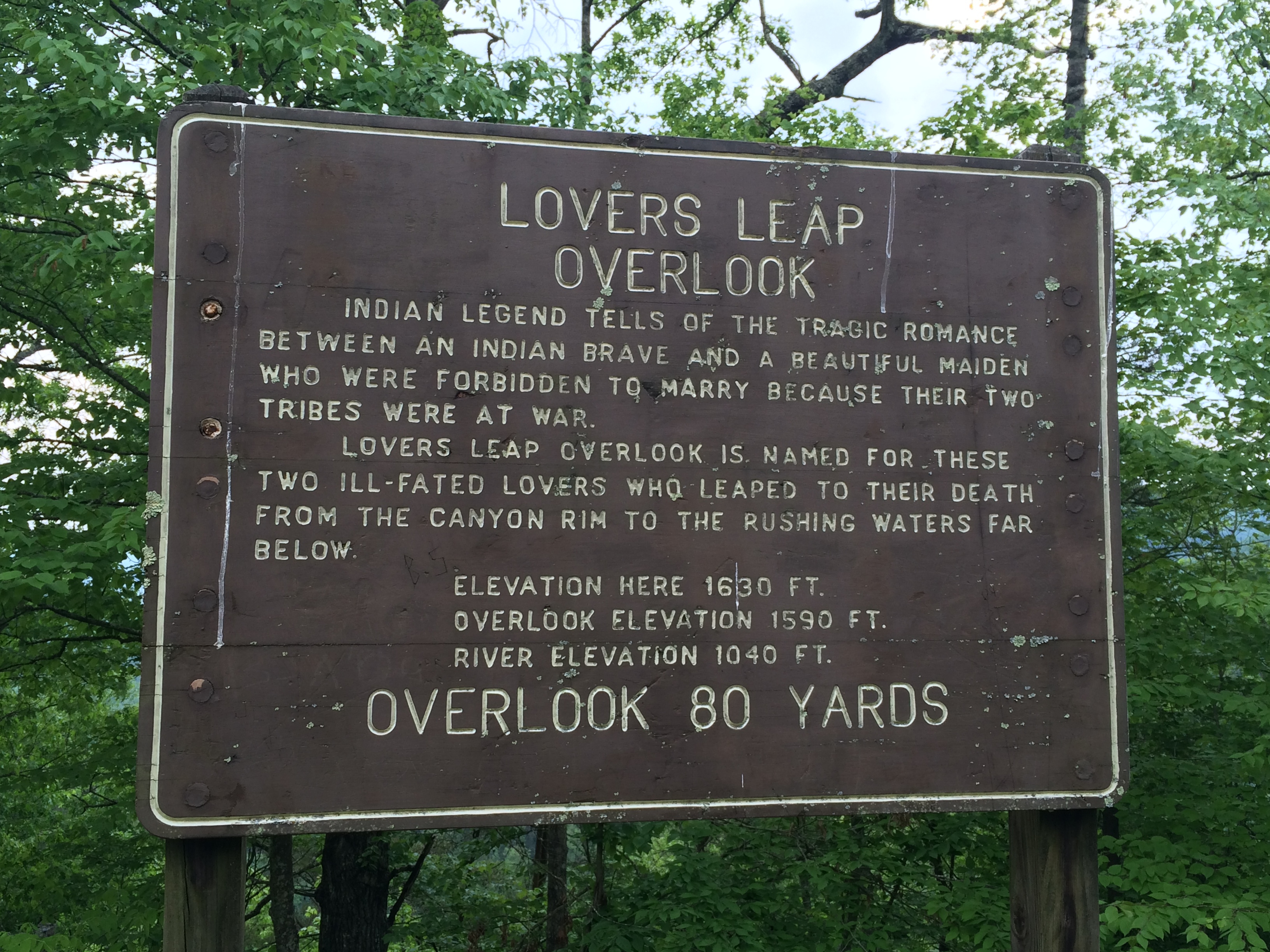
I continued on, more climbing although not as steep. I eventually passed this sign and found it interesting that I hadn’t seen any signs about Indians that were the victims of pioneer settler atrocities. I guess it is certainly true that the victories typically write the history books.
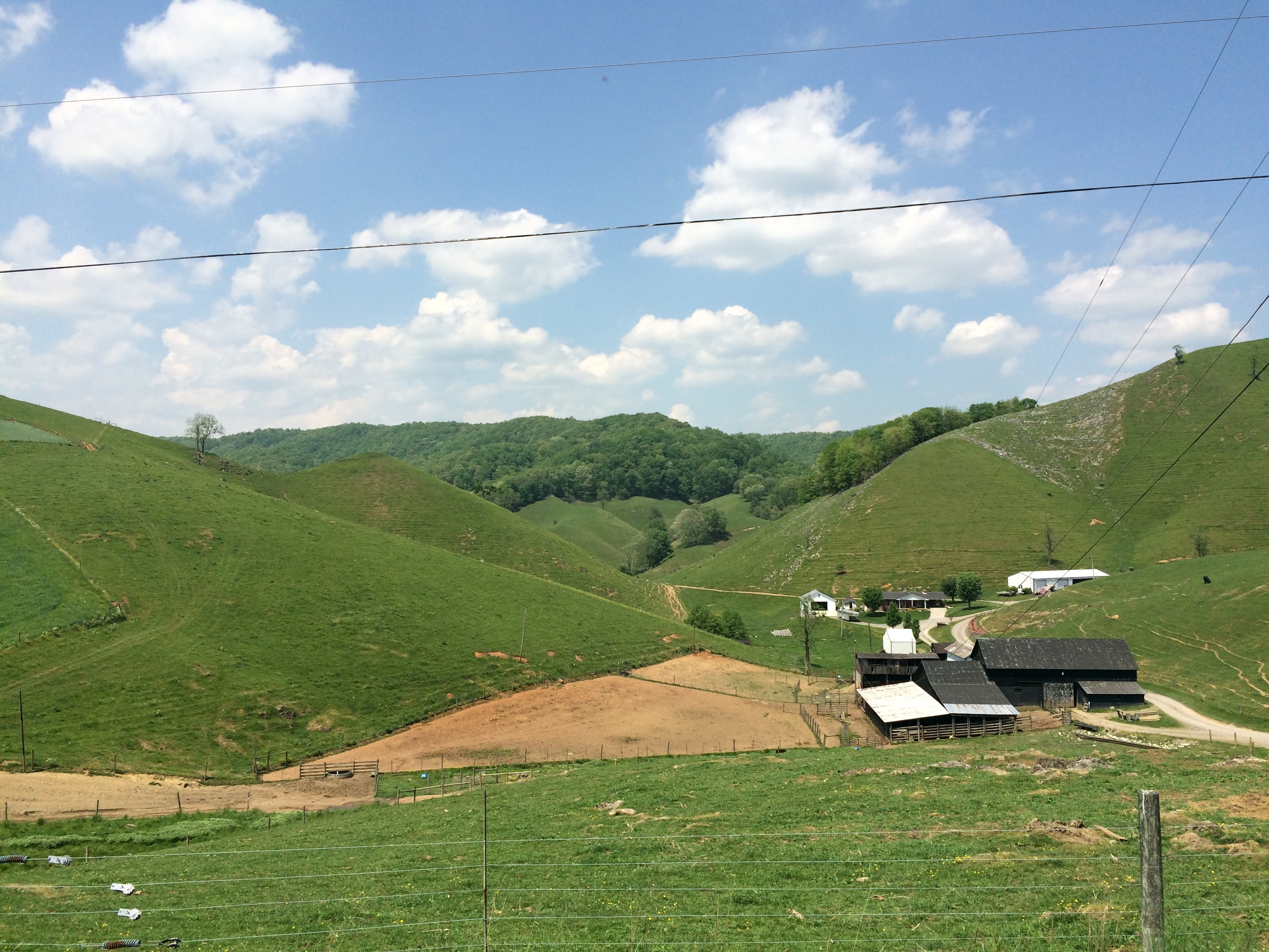
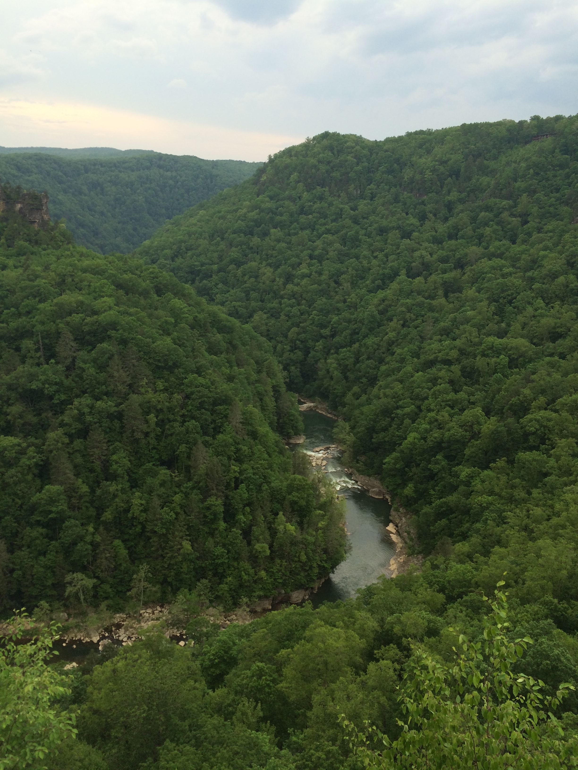
Here’s the view behind the sign, which was actually pretty nice.
For much of the remaining 30 miles for the day the route closely paralleled a stream. Its interesting how I have began to notice how the terrain acts based on the surrounding geological features. As long as the road was closely following the stream I knew there there wouldn’t be much, if any, climbing. The valley started to get deeper and the mountains on either side taller. The towns felt much like mountain towns, with a lot a trailer parks. The street names were interesting – Beer Can Alley, Homer Trailer Park, Hard Times Way, and countless others that put a smile on my face, but I can’t recall just now.
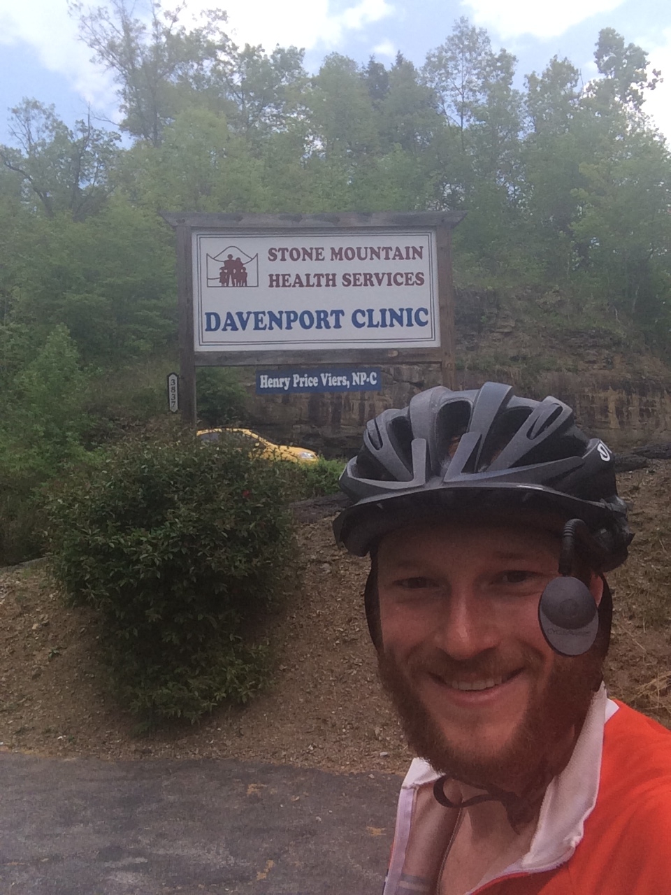
Eventually I came to a town called Davenport, Va. I don’t know why, but I love finding towns in other states with the same name as my hometown in Iowa.
Somewhere along the route a ran into my second pack of dogs. One of the dogs was nearly on my by the time I got my spray out. The split second that it had taken to grab the dog spray and try to hit him I had veered off the road a bit and was on some gravel. I almost lost control, but was able to bring it back. After another spay or two the dog finally stopped it chase. I can only imagine how bad things could have been had a wrecked at that point. I was moving pretty quick so the wreck would have been nasty and I would have had two or three dogs on top of me shortly after my fall.
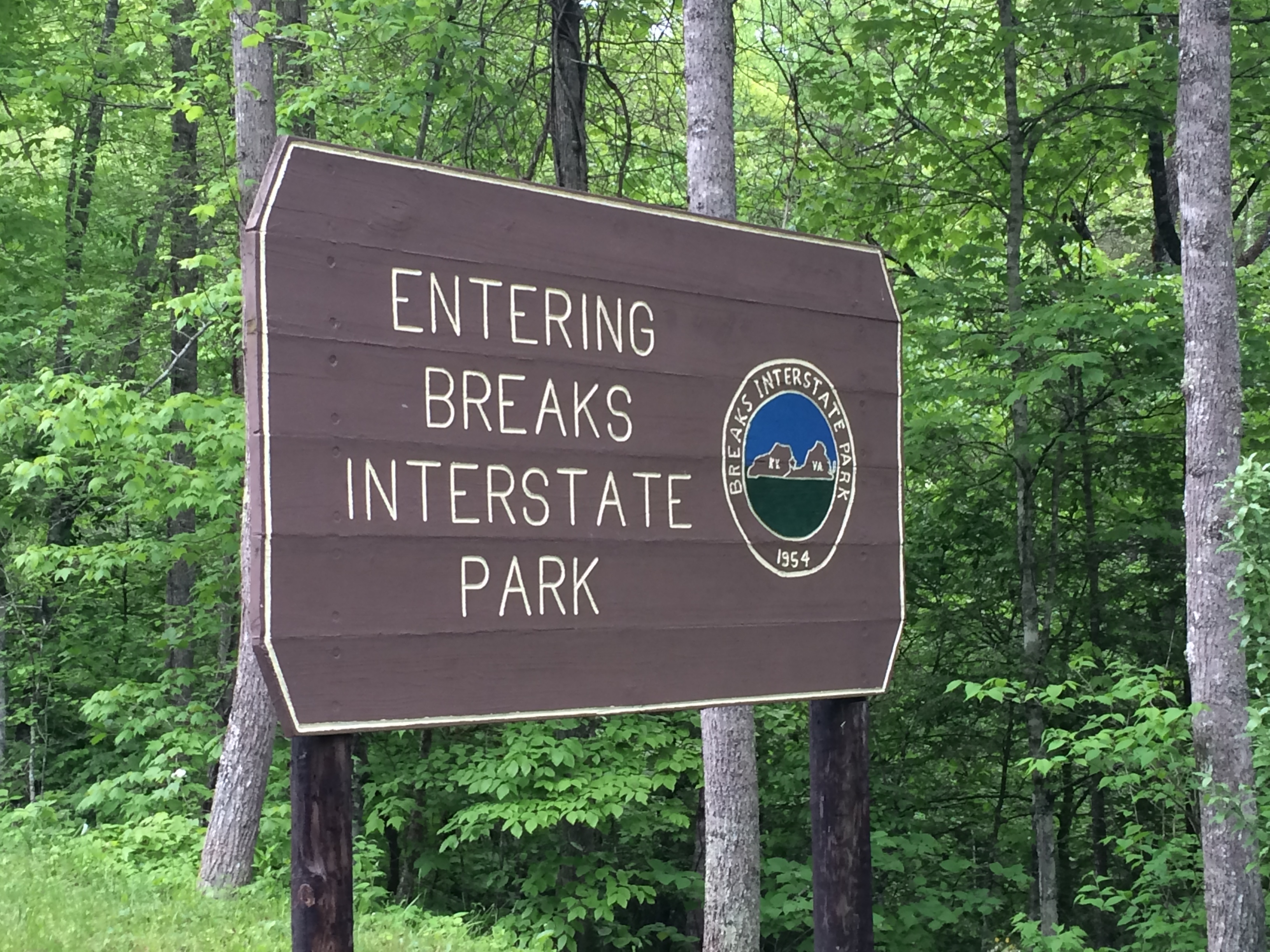
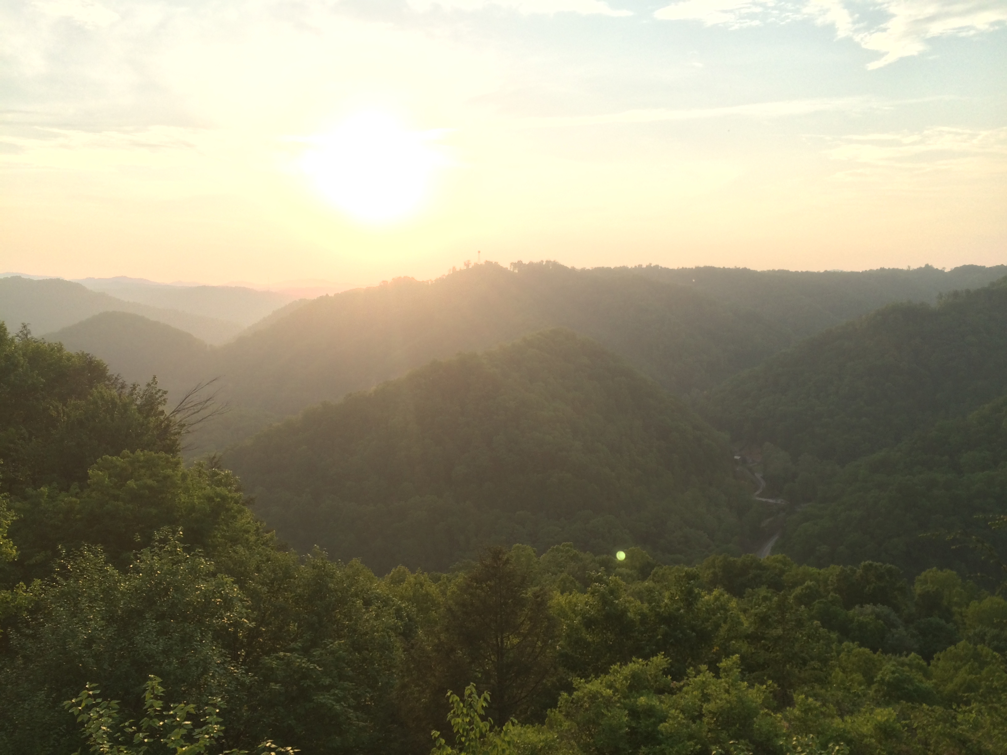
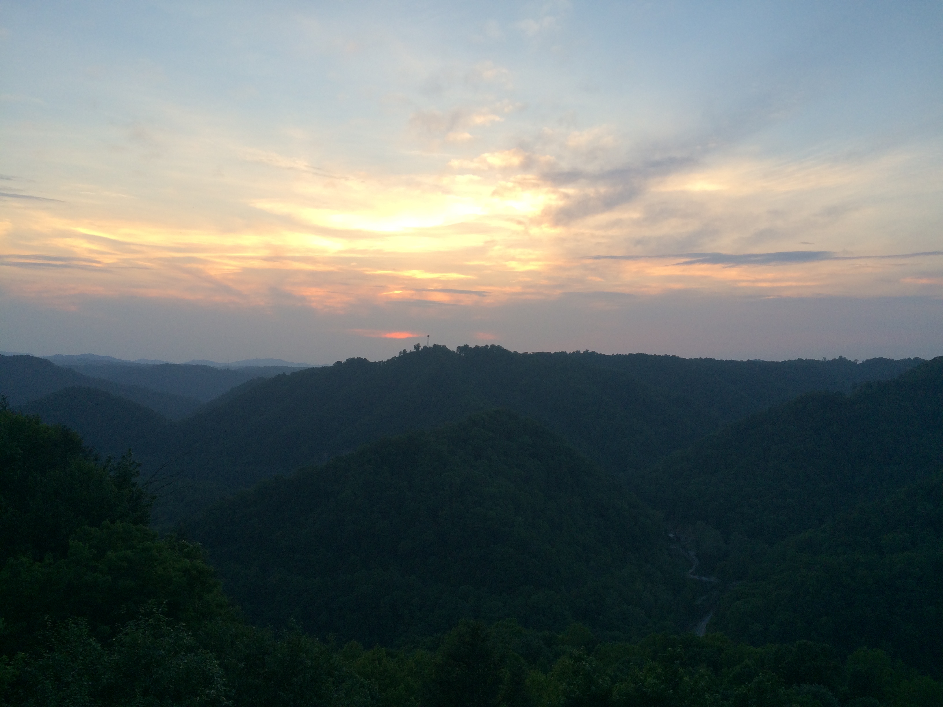
Eventually I came to a town called Haysi and the route left the stream so I knew I was in for a climb. It was another fairly long, steep, switchbacked climbed, but not nearly as bad as the one at the beginning of the day. I was beginning to get tired and I was less than 5 miles from Breaks Interstate Park on the Virginina / Kentucky border where I was planning on staying for the night when it started to thunder. It felt like it was sure to dump and any moment as a few drop fell and the temperature dropped, but the rain held off. When I made it to the top I was rewarded with some fantastic overlooks.
I made it to the campsite right before sunset, setup my tent, then went to watch the fireworks.
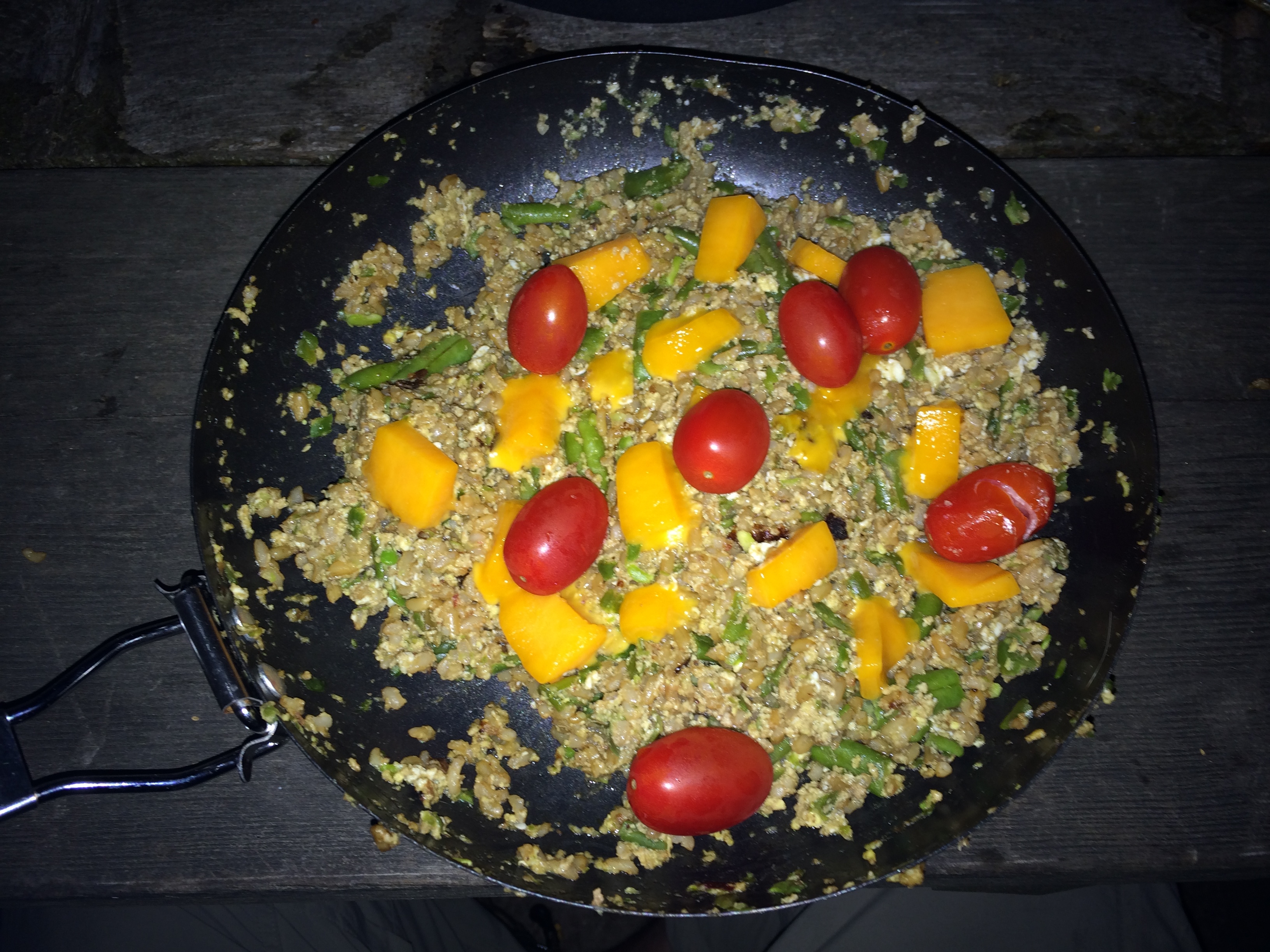
After sunset I made some dinner. Not really sure what I was going for, but it consisted of cajun rice, green beans, tomatoes, and cheese. Not bad.
I received a text from Max saying he had made it to Breaks as well and was staying in a motel just outside of the park. I’m getting a late start today so I’m sure he’s long gone, but I hope to run into him again at some point. Either way I hope he has a safe journey and it was great riding with him!

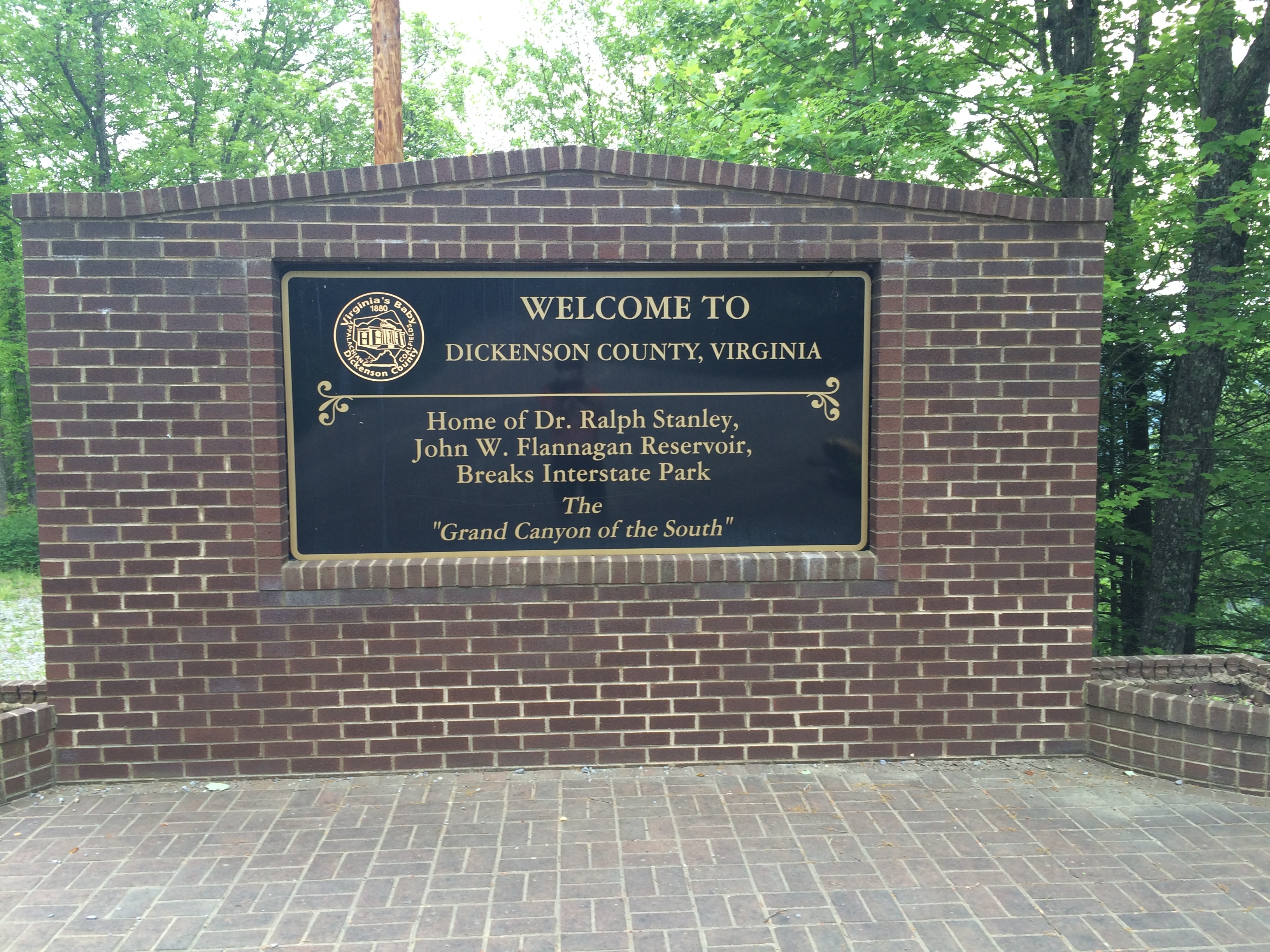
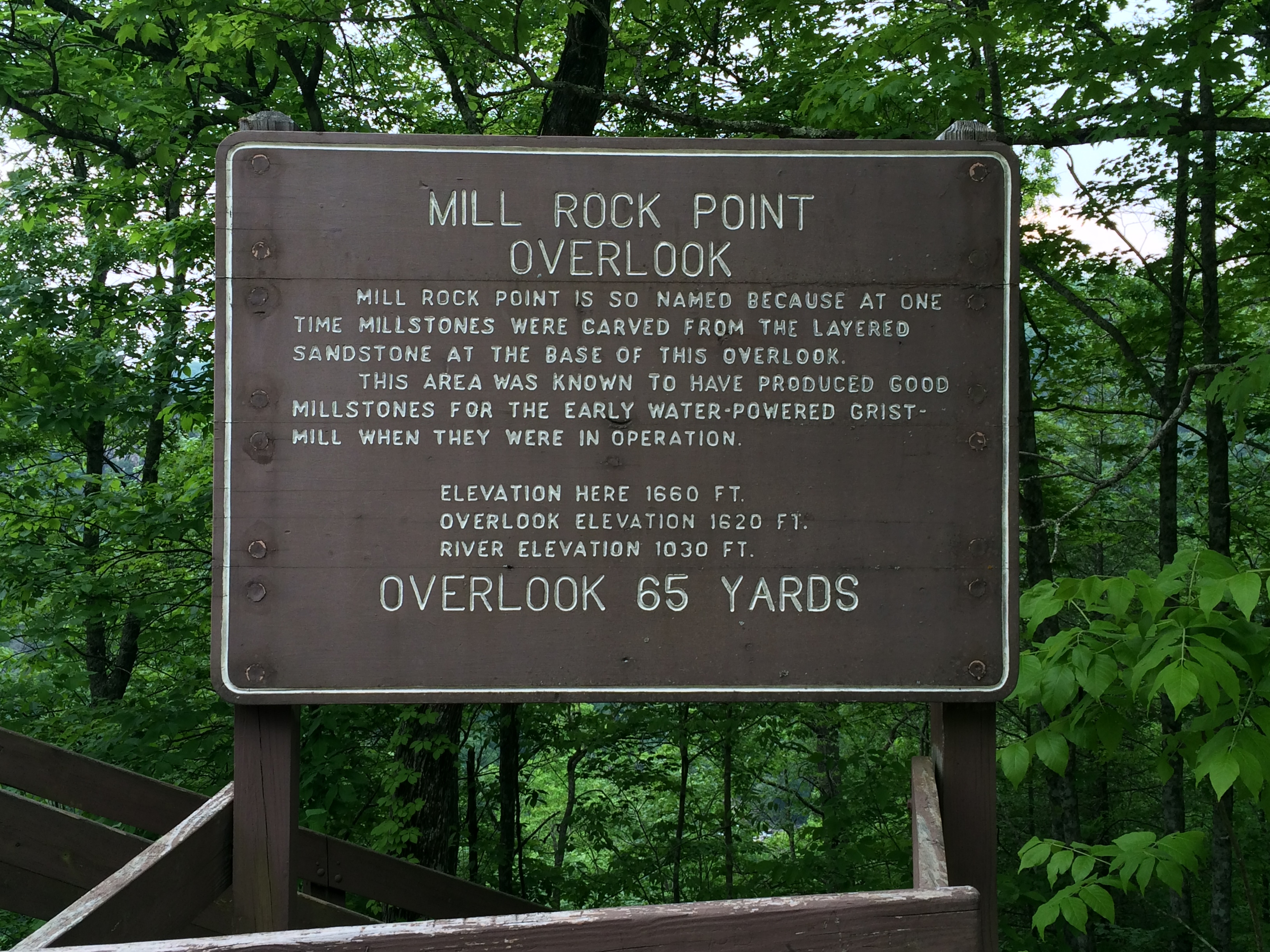
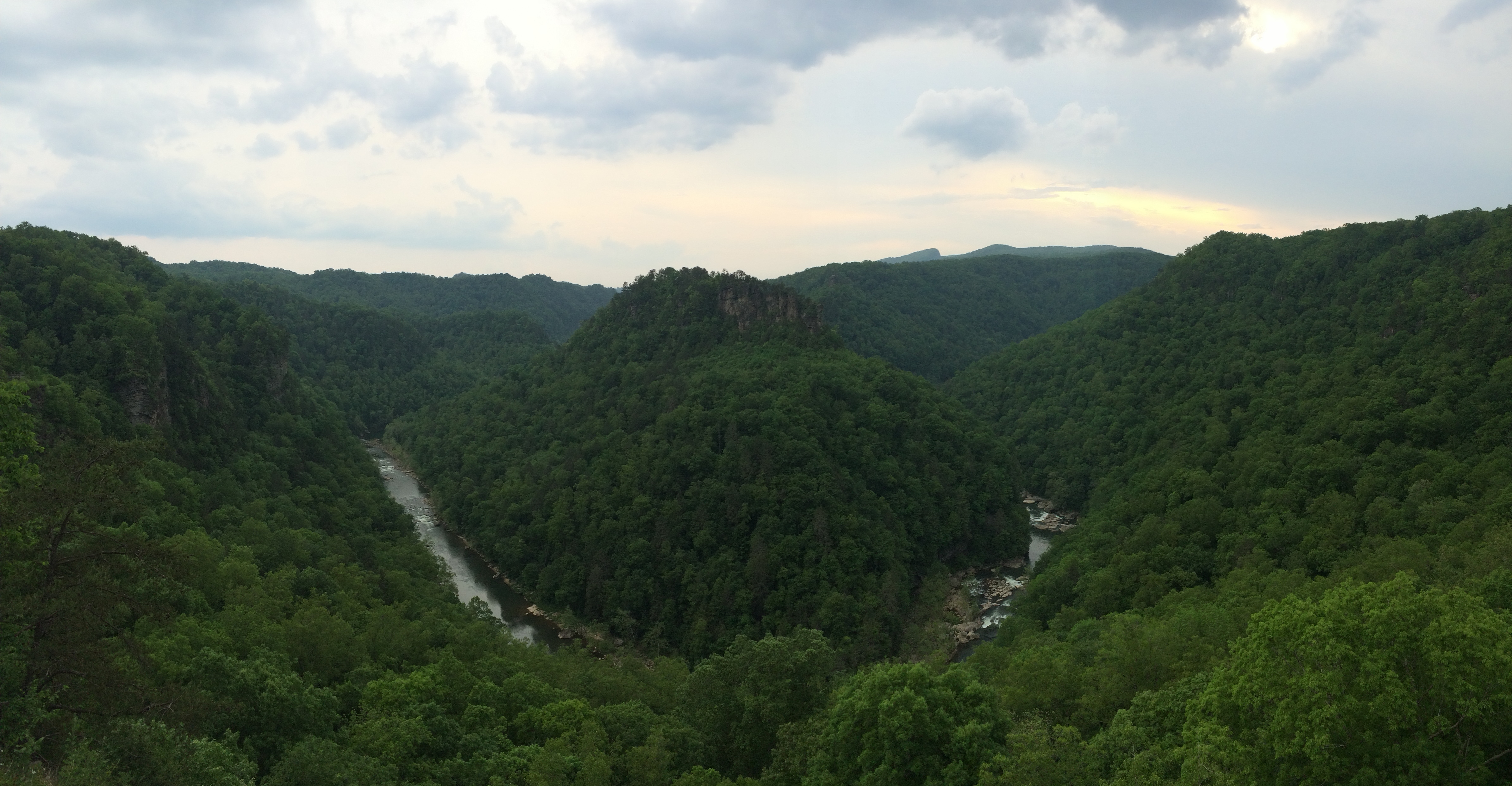
Breaks Interstate park–not far from Pikeville where I have spend a lot of time ! spent a day at Breaks and even took a horseback ride. Be careful, still a lot of high hills all through Kentucky
Jack
Nice! Yea, these hills are worse than the Blue Ridge Mountains! Another big vertical elevation gain day today.