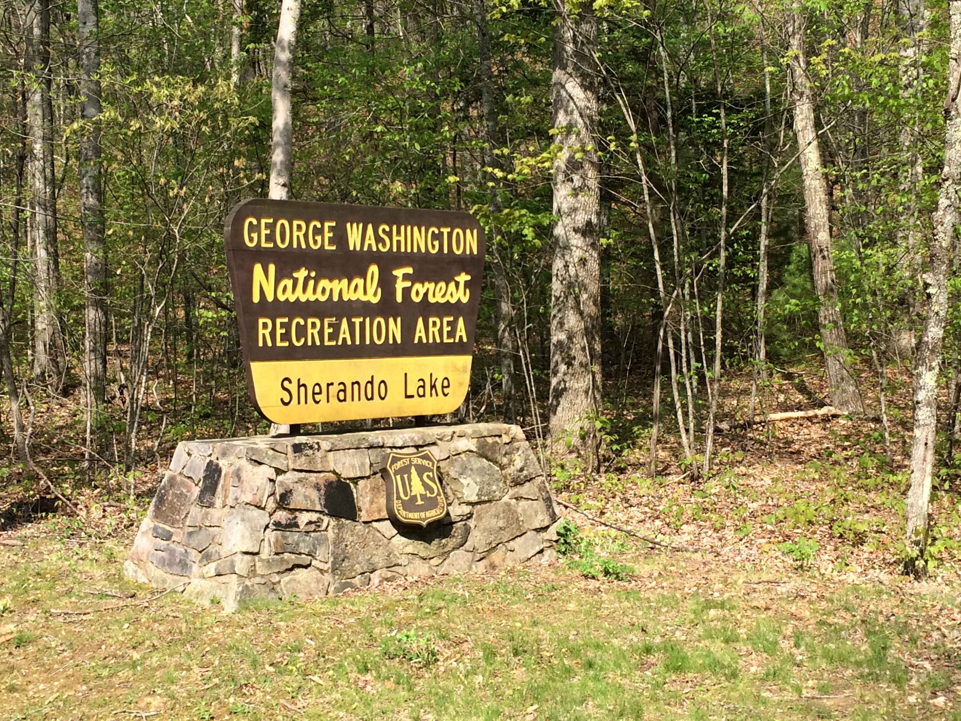
Lake Sherando to Natural Bridge, VA – 63 Miles
Woke up a bit later than I would have liked today with the decision to either climb back up to the Blue Ridge Parkway to the mapped route or try to find my way around to Vesuvius.
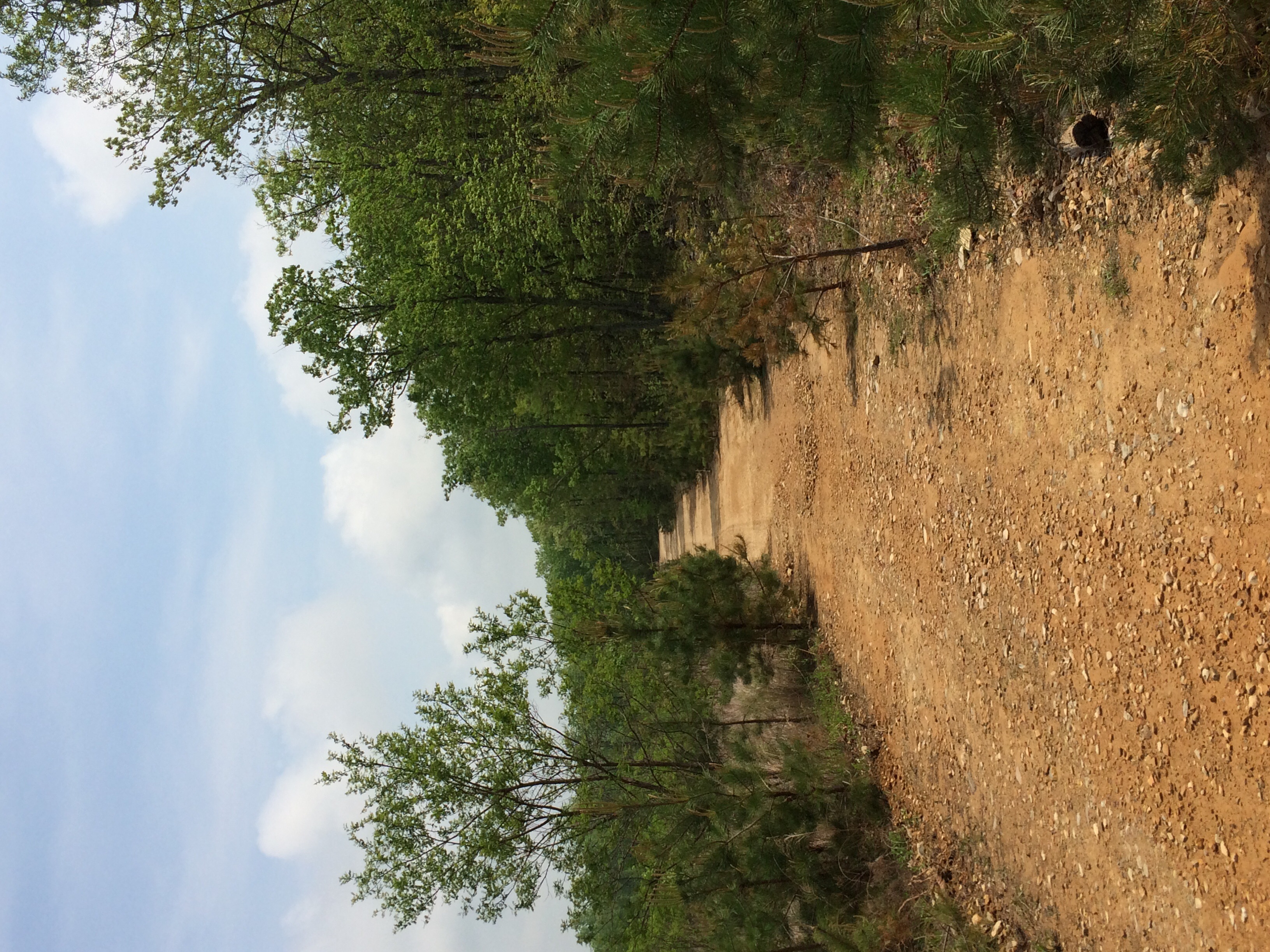
Still soar from the climbing yesterday, I decided to find my own way around. Not more than 10 miles in Google Maps had me turning on to a gravel road with a Road Closed sign. Since the route looked significantly shorter than the alternative, I decided to go for it. The first stretch wasn’t bad and luckily the reason that the road closed sign was there wasn’t an issue.
I continued on for a bit until a mysterious turn where there didn’t look to be a road at all. Just through the woods though I could see what looked like more gravel and on the map it led to a major road, so I decided to go for it. After about 100 feet of pushing the bike trough woods I came to a loose ggravel road, much worse than the packed gravel I was on.
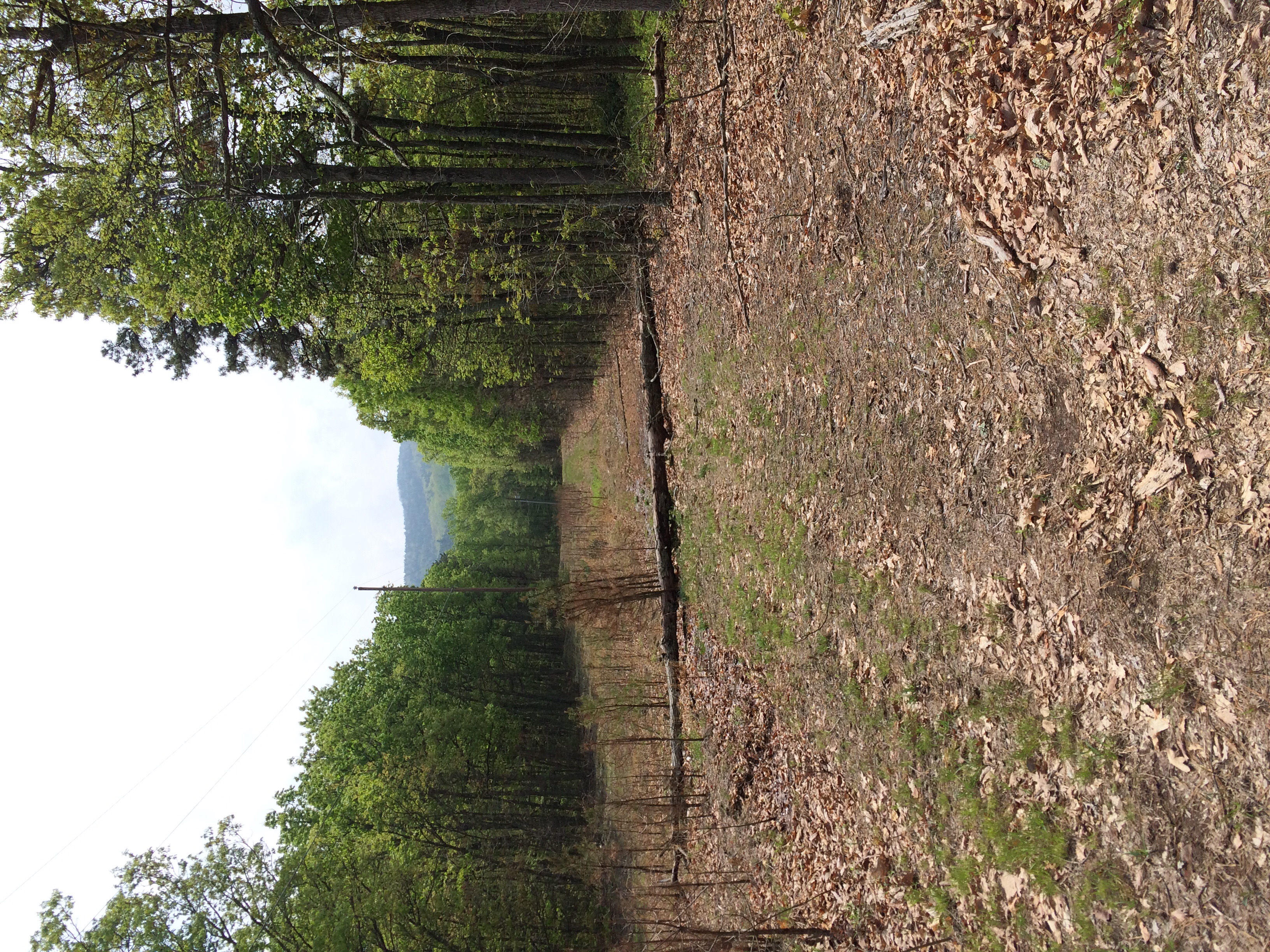
I pushed my bike along this road for awhile since it was impossible to ride on, and just when I thought it couldn’t get any worse, it did. The road ran me into what looked like a section of forrest that had been cut to run power lines. It would have been difficult to run on a mountain bike, let alone a fully loaded touring bike. On the map it looked like it went back to the grave road I was on (Coal Rd) and coming quite a ways I decided to try to follow it back to the original road.
After a short distance pushing my bike up the path I was relieved to make it back to the gravel road I was cursing about an hour ago. Studying the map again, it looked like I could follow Coal Rd for another 10 miles or so and it would run into a more major road that would likely be paved. Although it was longer than the suggested route, I decided to stick with the devil I knew.
There was a good amount of climbing, some flat tire scares, and a bit of slipping when I got carried away with speed on the downhills, but made it out without incident.
I was able to hop back on the mapped route in Vesuvius and the next section to Lexington, VA was excellent. I decided to stop in Lexington for a proper meal at a restaurant after the battle I went through in the morning. I had connected with another warmshowers host who was about 20 miles away and I know I could use the energy for the rest of the ride.
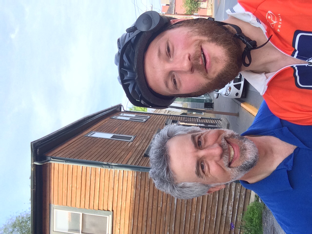
Drank a beer, ate a sandwich, and got some Wi-Fi at a local restaurant called Mackados. The hopped back on the bike to finish day. On my way out of town I ran into Rick.
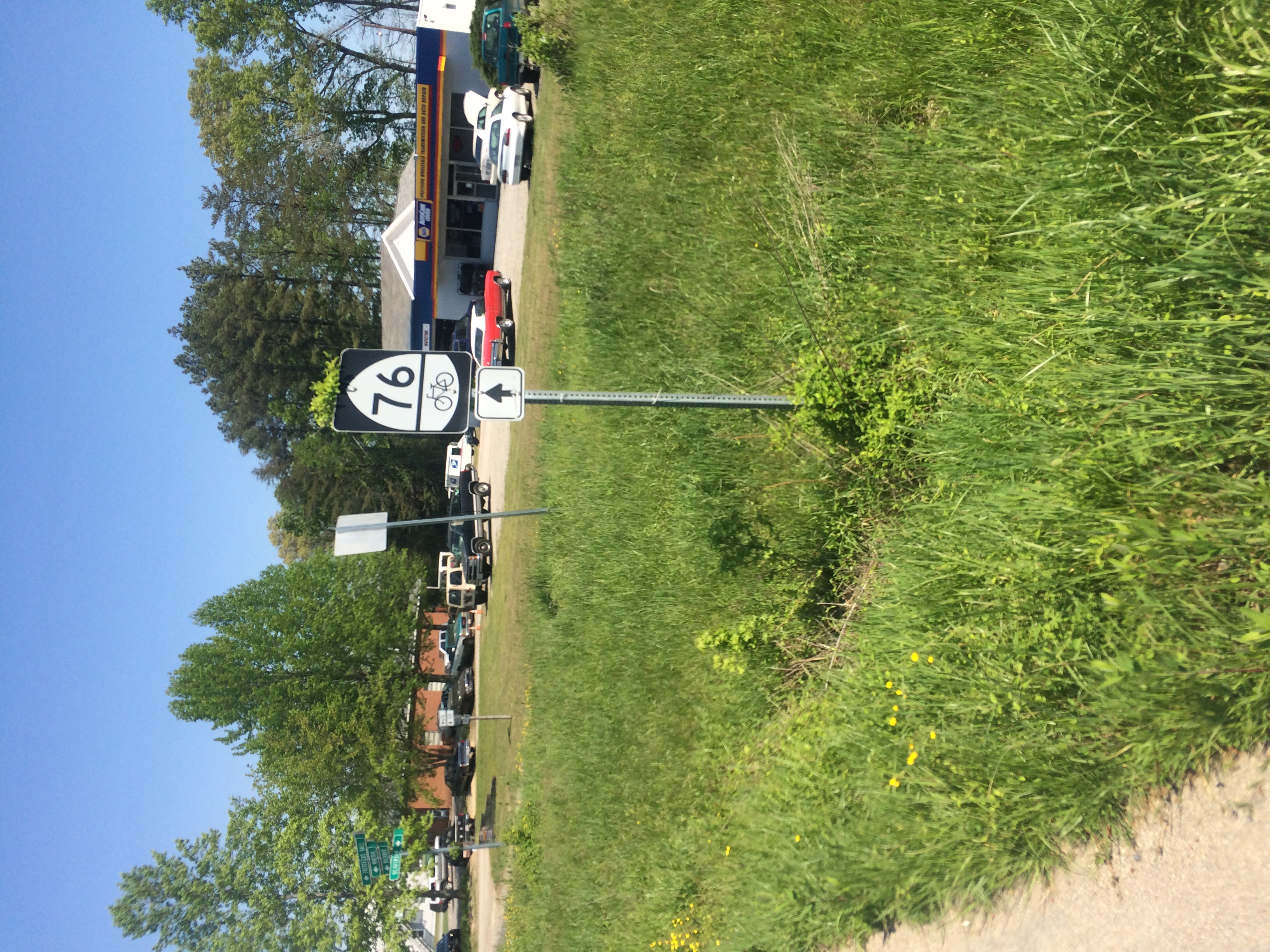
He did the Trans America route back in 1976 when he was 18 which was the first year that it was an established bike route. It’s also why the route is called Bicycle Route 76 and is marked with signs like this the whole way.
He gave me some good directions to the Warmshowers host’s house. Thanks Rick!
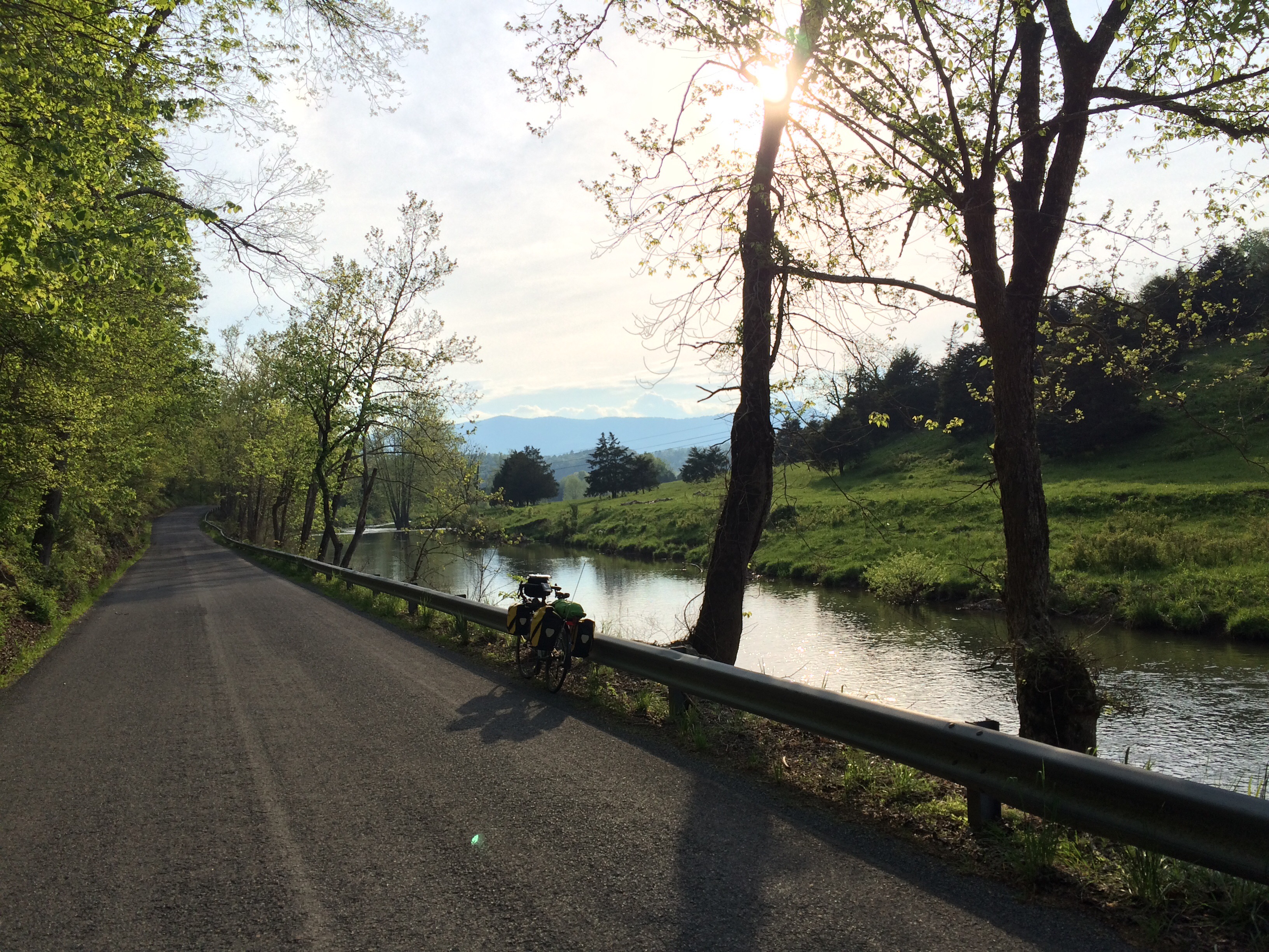
The rest of the ride was super scenic as the sun was setting and the route followed a creek.
Finally I made it to the Warmahowers hosts’, Mike and Wendy’s, house. Their son Carlisle met me at the bs of their gravel drive in the pickup and drove me the rest of the way to their house. Tuck back in the hills they have amazing views. We ate dinner in their patio and enjoyed them. They have another cyclist here tonight as well named, Max. He’s riding the Trans Am east to west as well and we’re going to head out together tomorrow morning. It will be nice to ride with someone for a change.
