Charlottesville, VA to Sherando Lake – 52 Miles
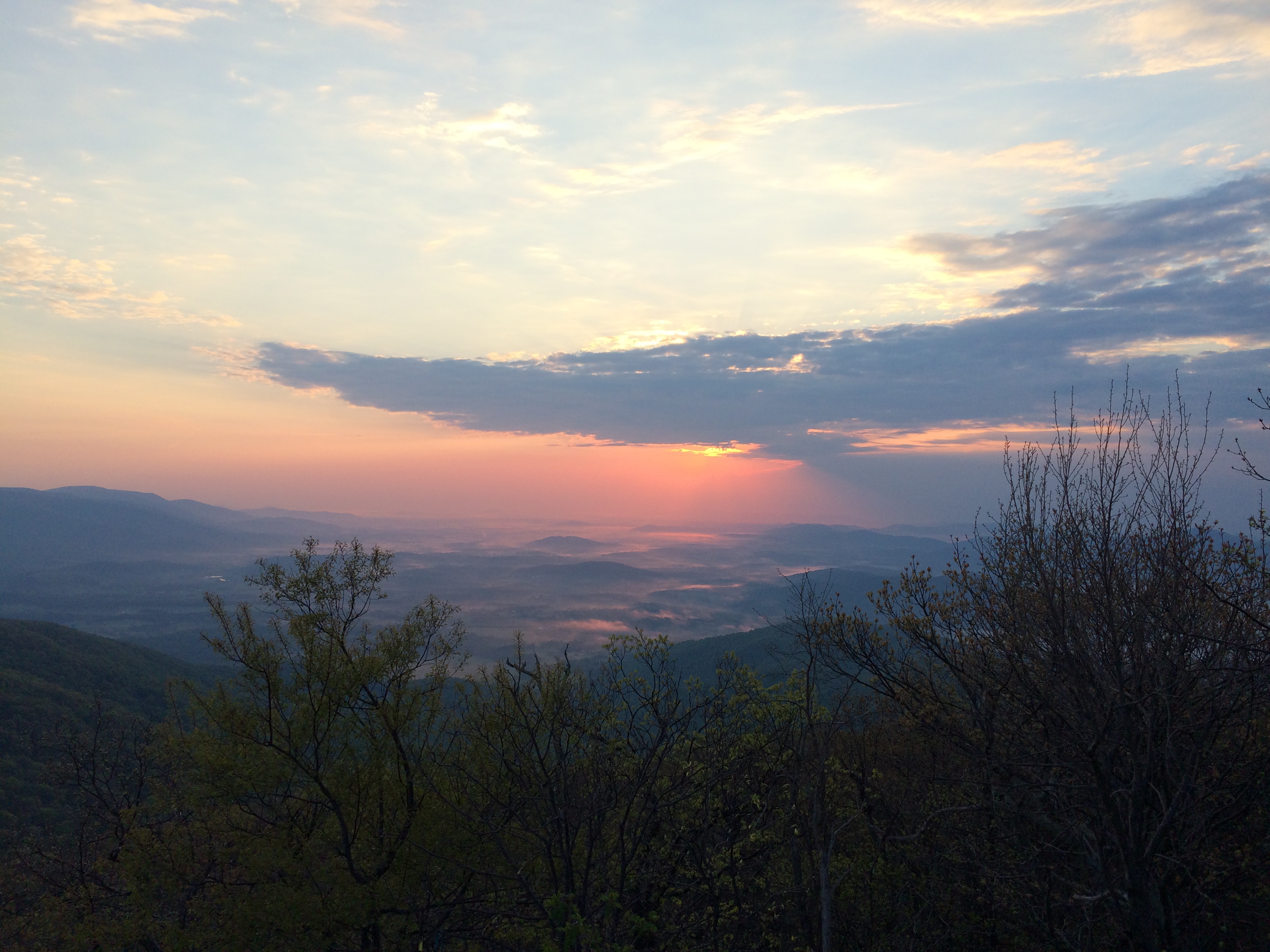
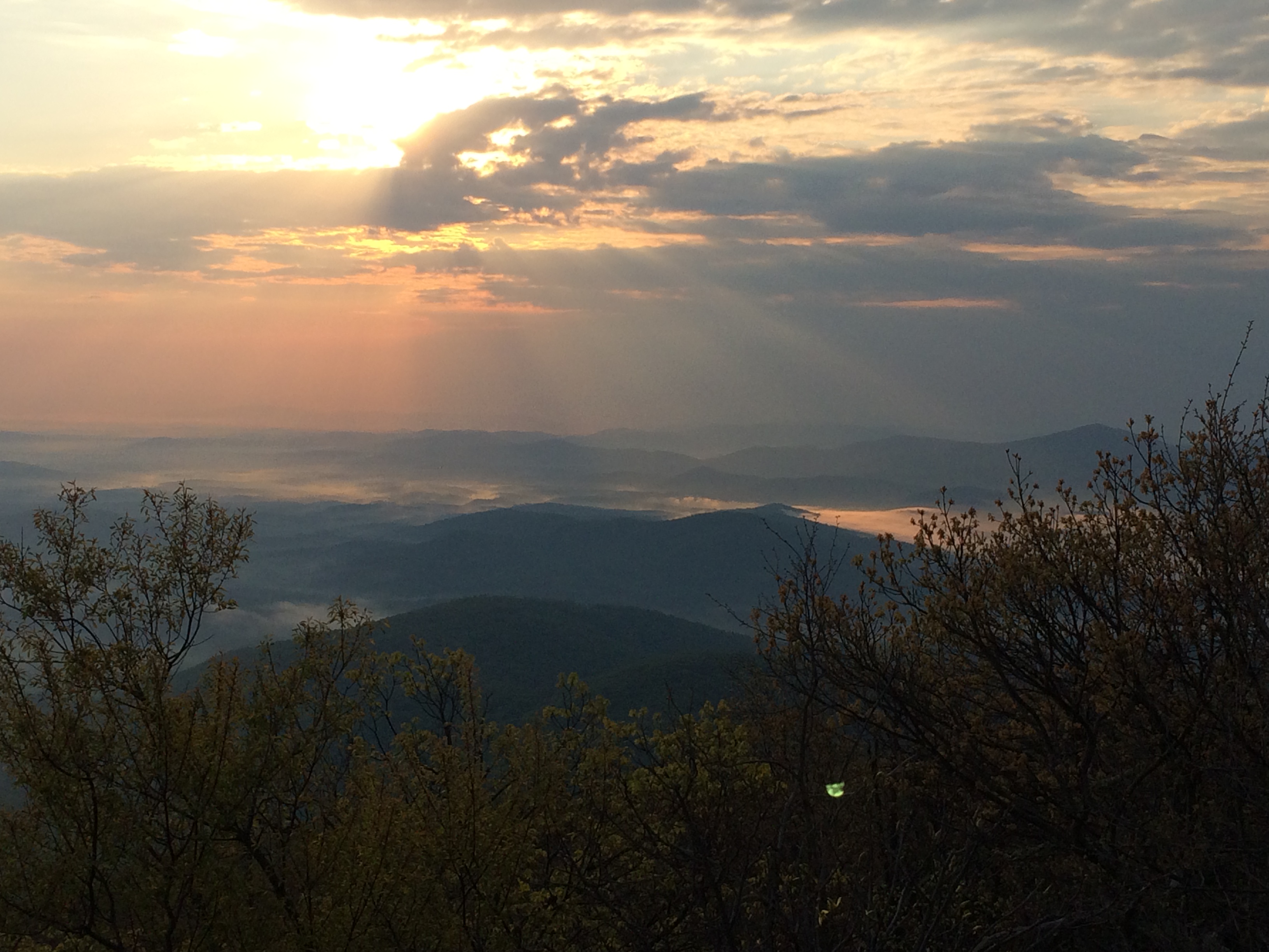
The day started off with a hike up to Humpback Mountain with the UVA outdoors club to catch the sunrise. We were up by about 5 am to meet the rest of the group on campus and make the 45 min drive to hopefully be up the trail by 6:15 for sunrise. The drive essentially paralleled what I was planning on riding and gave me a good indication of what was in store for me.
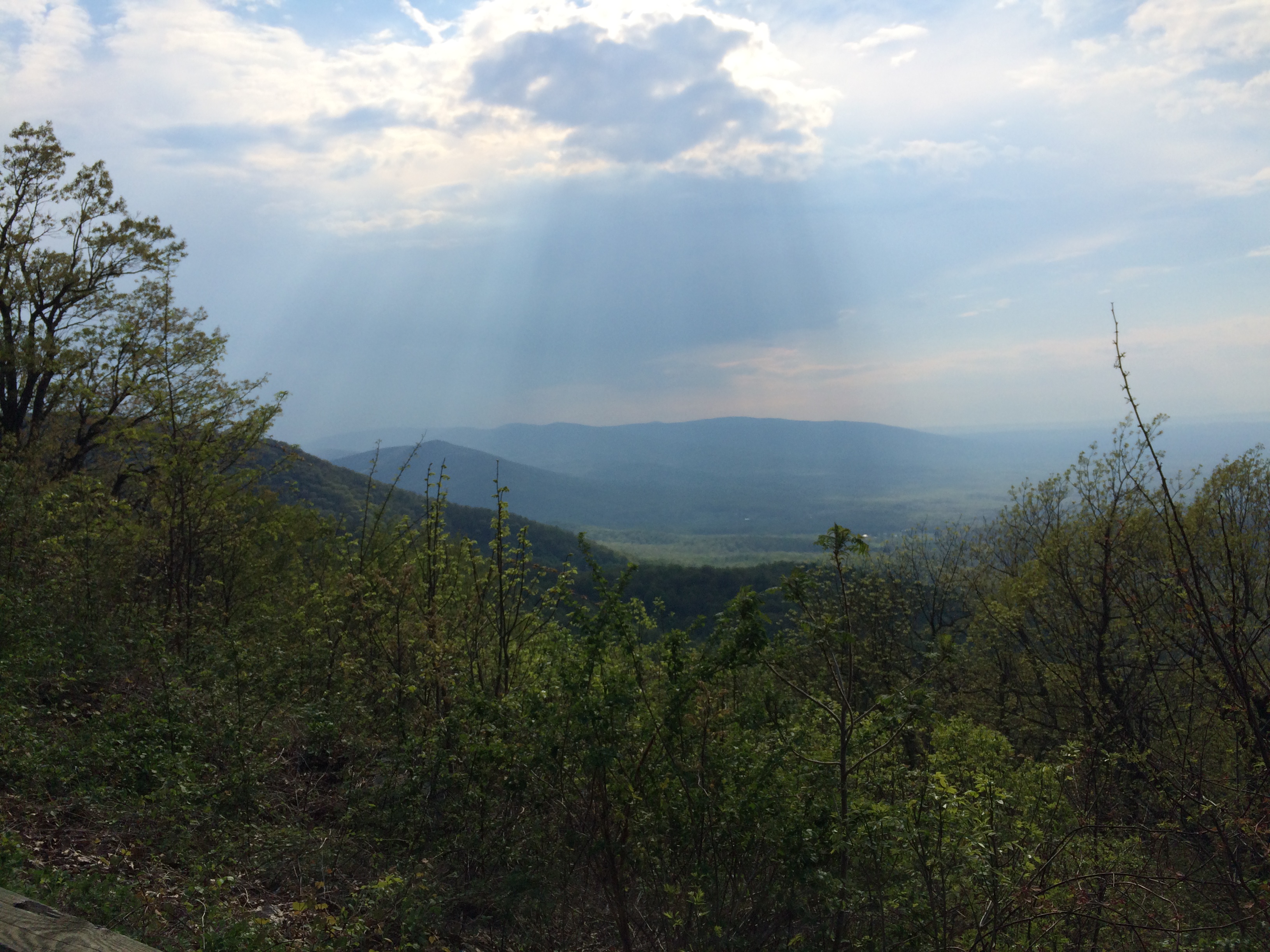
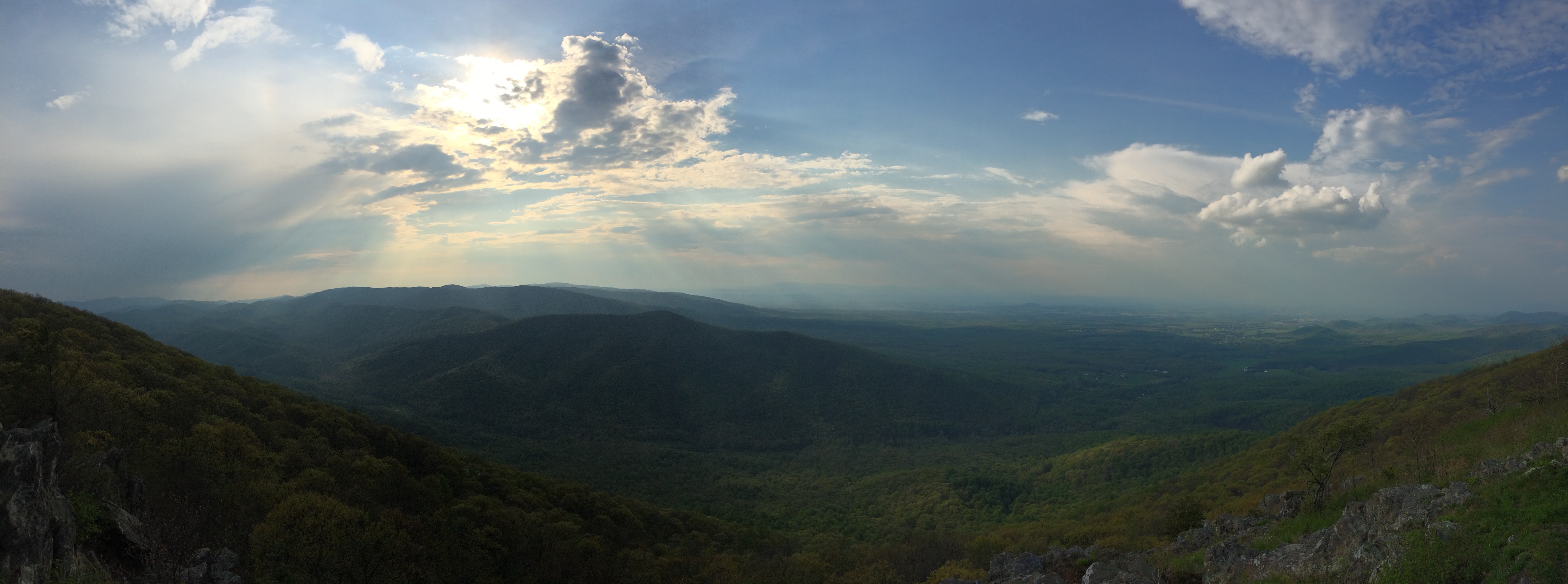
Once we got to the trailhead it was less than a mile hike up to the lookout just below the summit. Although we missed the sunrise by a couple of minutes the views were spectacular and majestic! You could see for miles and the way the sun peaked through the clouds and created shadows with the surrounding hills was fantastic. There were a good amount of other students up there as well and I thought it was pretty cool how so many of these kids were doing something to appreciate nature – even if some of them were probably still drunk, hadn’t gone to sleep, and left the occasional piece of litter behind.
When we got back to the house I said my goodbyes to Will. He was off somewhere again, I could tell he’s the kind of guy who likes to stay busy. Really great guy and I had a fantastic time crashing at his place. I smashed one last piece of lasagna from the night before, took a shower, packed up, and hit the road. Didn’t get on the bike until at least 9:30 AM and it was starting to get pretty hot. Thankfully there were a few clouds in the sky. I was a bit bummed to be leaving Charlottesville as I could tell there was much more fun to be had there, but I looked forward to new places and things to come.
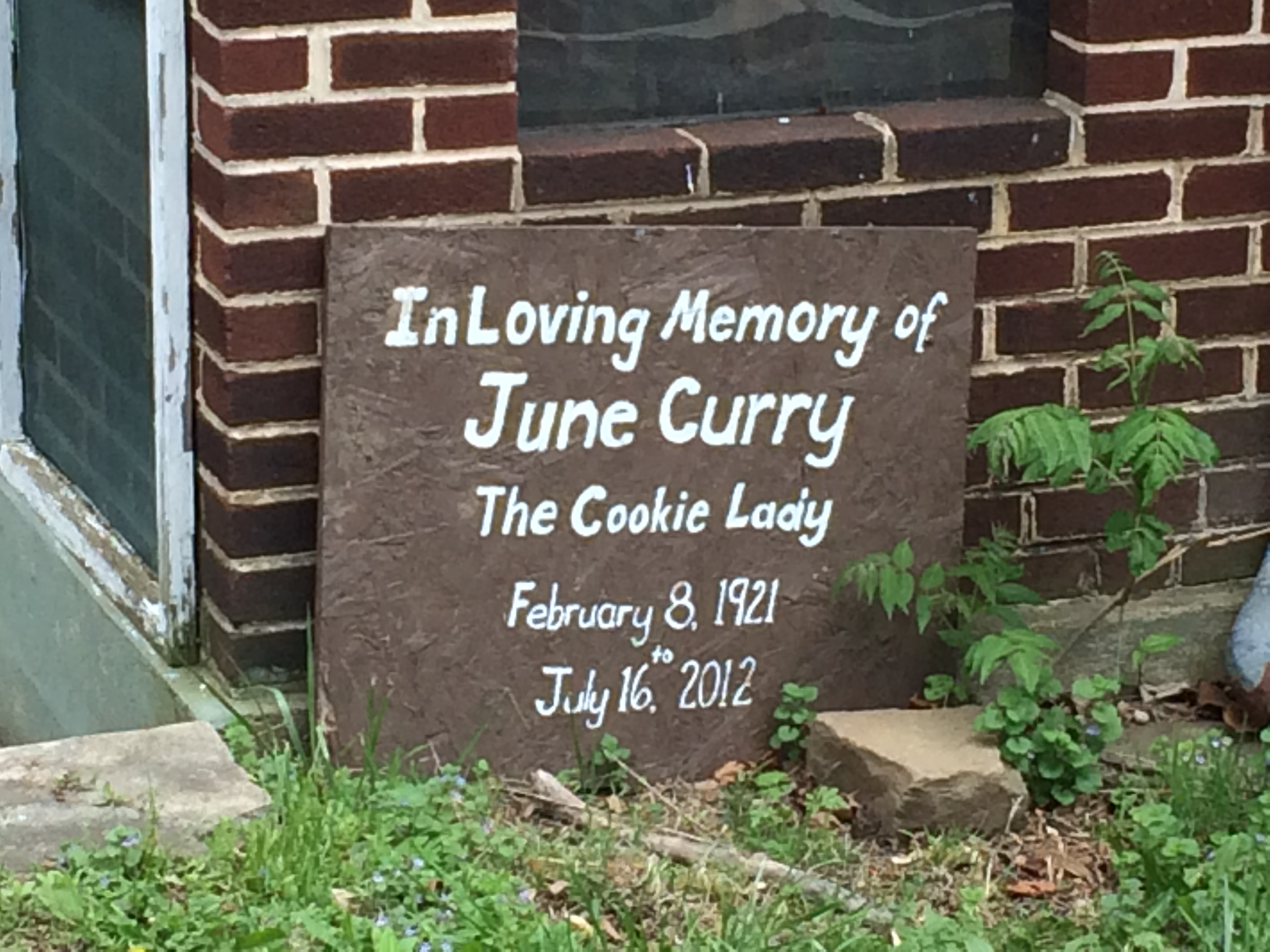
The climb slowly increased in intensity with shorter and shorter down hill sections until I was about 8 miles outside of Afton at which point it was basically straight up. Definitely the most intense climb of the ride so far. I took it in stride and chugged along methodically until the bump in the road town of Afton, Va. My Warmshowers hosts in Doswell, Dave and Kathleen, had told me about a woman called “The Cookie Lady” who was known for greeting cyclist at the top of the climb to Afton with cookies. As I was looking at my map the night before I even notice that Adventure Cycling took note of her as a potential lodging/camping spot. While ridding through town I was saddened to see that she had passed in 2012.
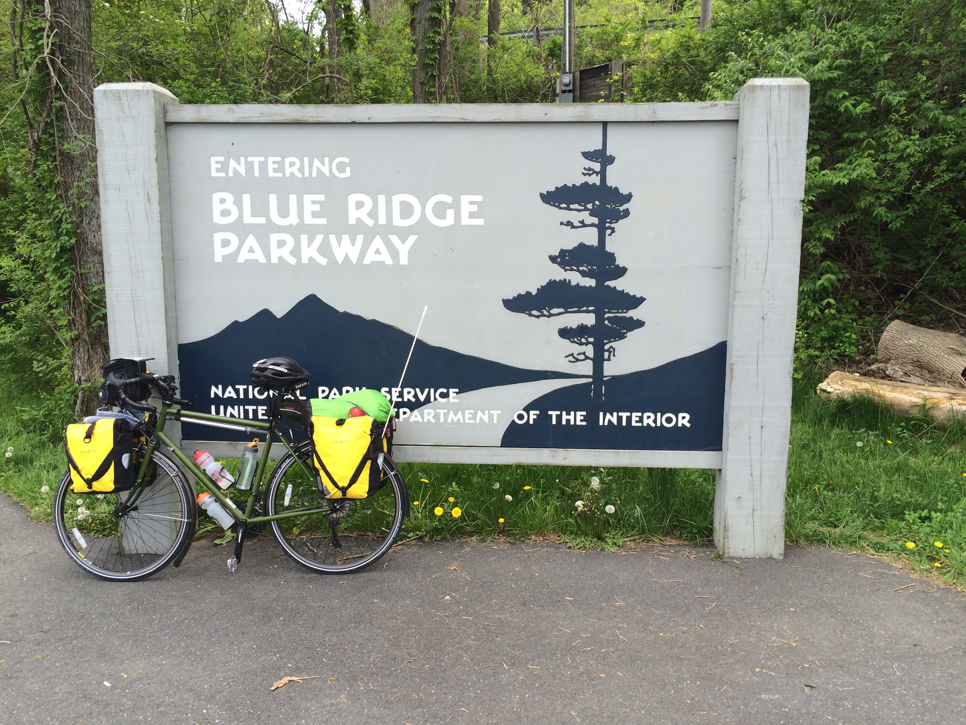
After a short, but terrible traffic stretch on US 250 I made it to Rockfish Gap and the entrance to the Blue Ridge Parkway. I decided to stop for a rest at a Popcorn Stand close by that was also serving up hotdogs. While I was sitting there a hiker walked up who was coming off of the Appalachian Trail. Previously he hiked the Pacific Crest Trail and was now tackling the AT. He was traveling incredibly light with what looked almost like a daypack. He showed me his minimalist gear and I quickly realized how much crap I was carrying that I didn’t really need. While we were sitting there a lady in pickup truck pulled up to take him to get supplies I suppose. He said she was a trail angel – someone who volunteers to help AT hikers resupply and such. He must have told her what I was doing because as soon as she had pulled away they were back and calling me over. She said she wanted to donate to my cause and headed me $40. The generosity of complete strangers continues to touch and amazing everyday on this trip.
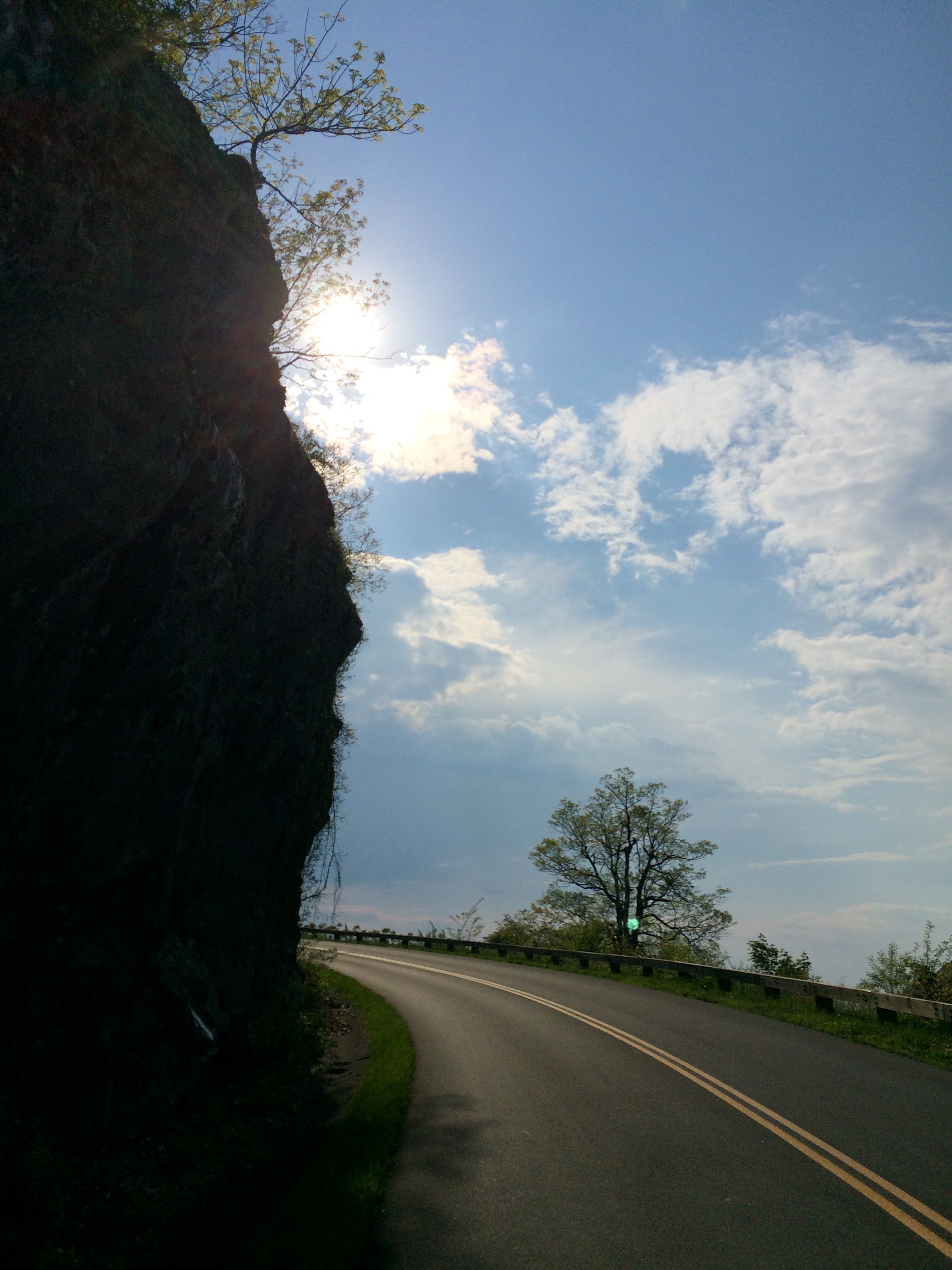
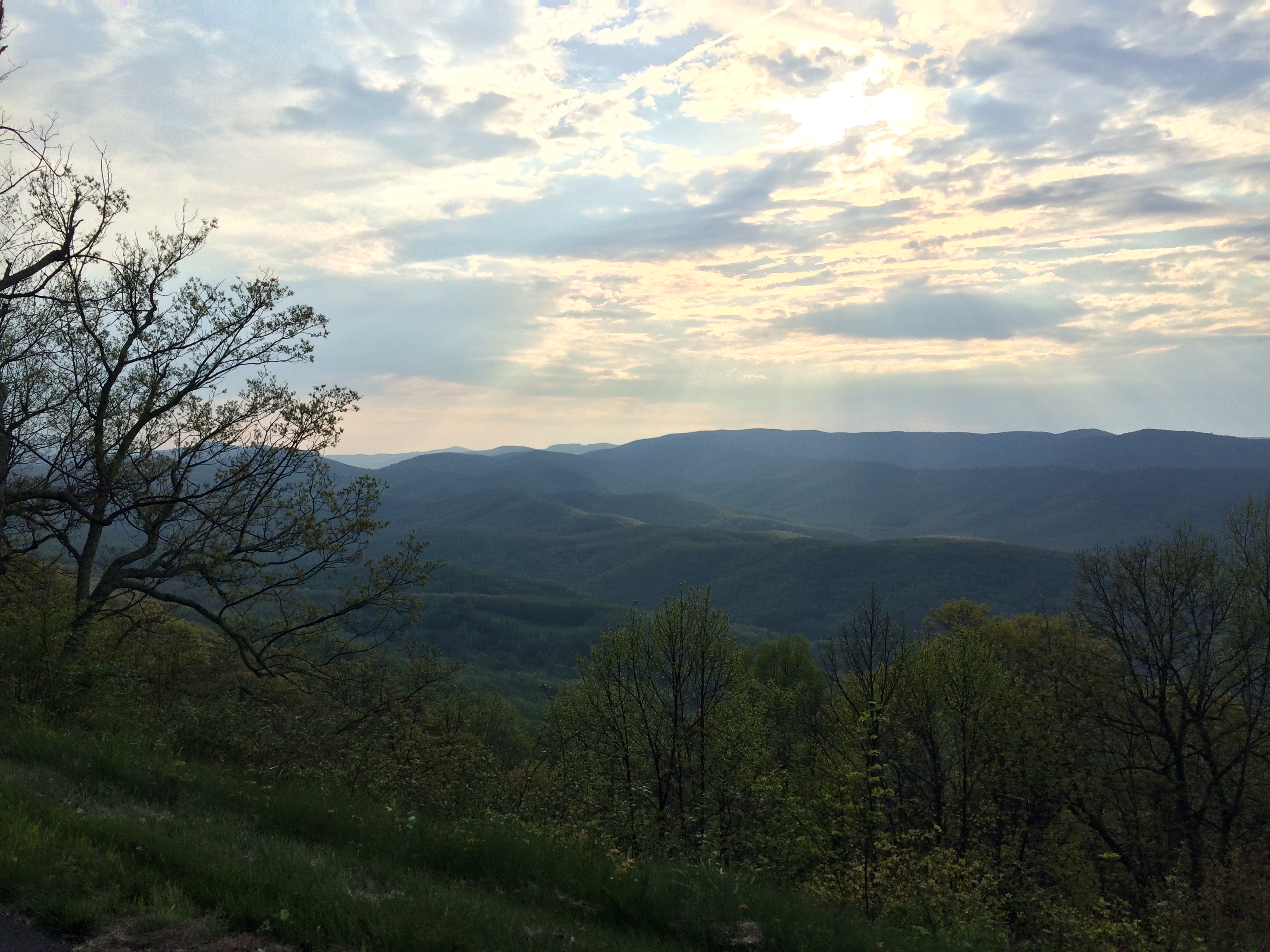
After my rest I was re-energize thinking about the 800 miles that the AT hiker had already done and the kindness shown by Ms Lady. I started off down the Blue Ridge Parkway, my climbs rewarded by breathtaking vistas.
Continuing to climb, I realized that I wouldn’t get through the mountains on my route before dark so I started looking for a place to camp. From research the night before it was clear that backcountry camping in the Parkway was prohibited. My only other options were a campground near Reeds Gap at Sherando Lake or to find a spot near an AT trail head. I opted to look on the AT first as Sherando Lake was a good 4 miles off route and about a 1000 foot decent that I wasn’t interested in climbing again. I was able to locate the AT, but couldn’t find any suitable camping spots with the steep grade, so I opted to decent. The hill down was a blast. I setup my tent and ate dinner. Cell phone service was spotty at best and I wasn’t interested in wandering around looking for the corner campground that offered enough service to write a blog post. I decided to go to sleep with the threat of a morning climb of the hill I had just descended.

