
Hike to Mount Whitney Summit – 26.1 miles
The last week has been busy – exploring new cities, parks, wild spaces, and mountains. The first couple days after completing the cross country bike tour were spent in San Francisco. My gracious hosts, Charles, Danielle, and their pup, Kaibry, were nice enough to let me stay for a couple of days before heading down to Los Angeles to meet up with some friends to hike around the Eastern Sierras.
The first day was spent generally taking it easy, or that was my intent. I ended up taking Kaibry for a 5-7 mile walk around the Presidio, a hilly historic Spanish military fort originally established in 1776. After the walk I headed back to the house to grab my bike and wander around the city a bit. I biked through Golden Gate Park to the Haight and Ashbury neighborhood, and to the Grateful Dead House. Once back at the house we celebrated Charles’s 27th birthday with pizza, beer, and Netflix.
The next day I decided to go for a slightly longer ride north of San Francisco across the Golden Gate Bridge to Cascade Falls, about 25 miles one way. Left the city around noon, the weather was absolutely perfect – 70, sunny, and no humidity. Fifteen miles into the ride I had to cut it short because I wrecked and bent my rear derailleur into my wheel. Super bummed, but happy to come out unscathed and able to limp back to the city. When I got back I dropped the bike off at Elevation Bike Co to assess the damage. Bent derailleur hanger, banged up derailleur, and due for a new chain. I also probably had to get a new rear cassette since I rode on the stretched out chain for too long. Not great news, but glad I could get it into a shop before I left for LA.
The next day I packed up a couple panniers with everything I would need for hiking in the Sierras and took the Muni downtown to jump on a shuttle bus to LA. It was a long uncomfortable bus ride, but for less than $30 one way it’s hard to complain. When I got there I was greeted by Joe (a friend from Indy who has recently moved to LA), one of his friends, Davis, Ryan (a friend from Indy), and his girlfriend, Amanda.
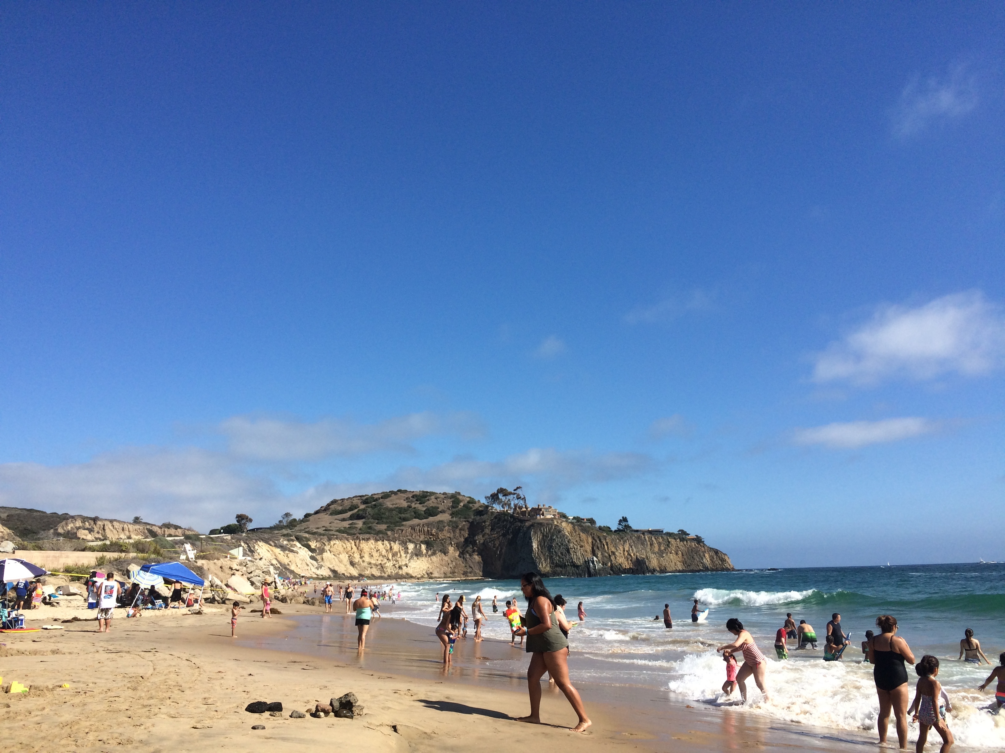
The next day Ryan, Amanda, Joe, Davis, and I went down to Crystal Cove State Park and hiked around a bit. It was beautiful, but pretty hot which made for a nice cool off in the ocean to top off the hike.
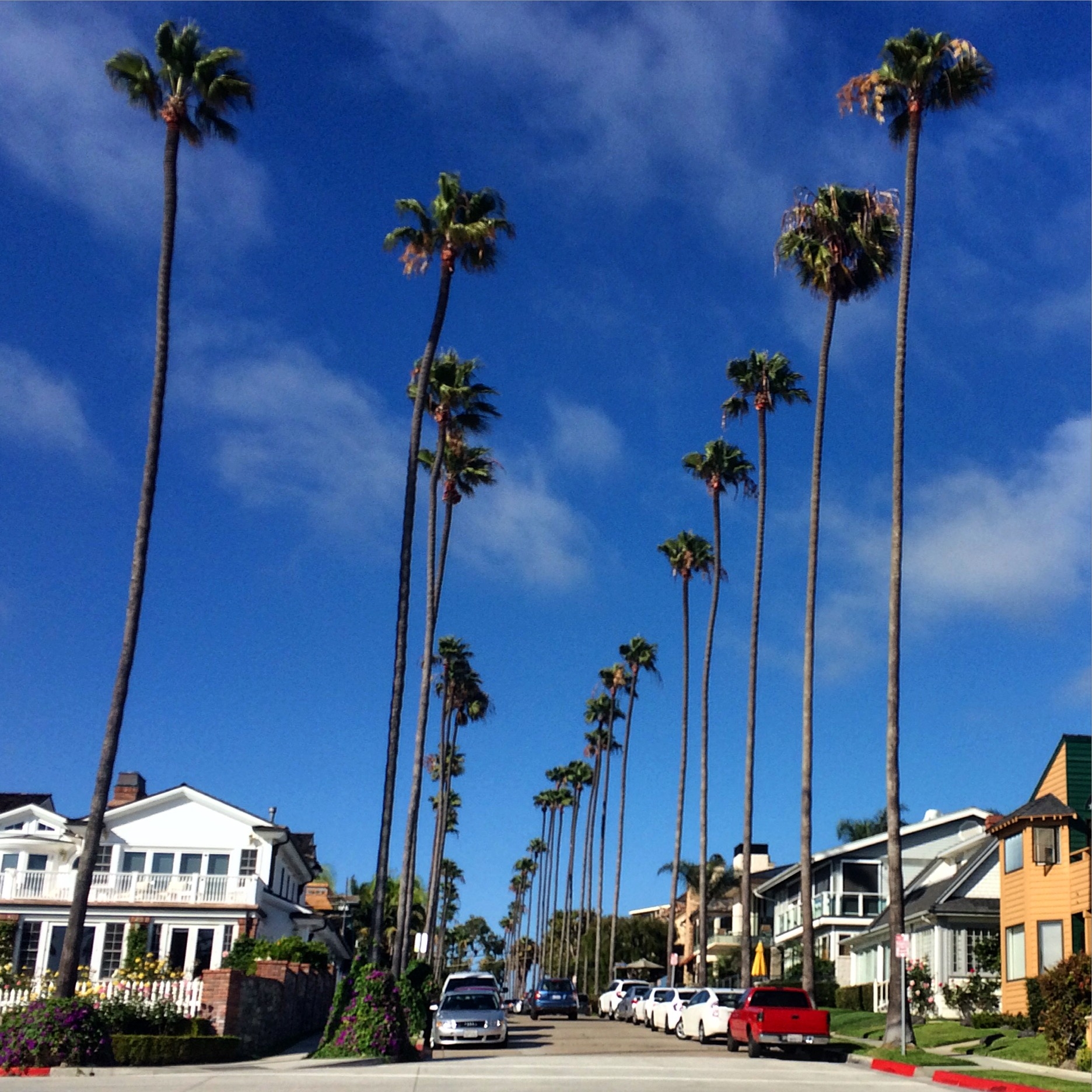
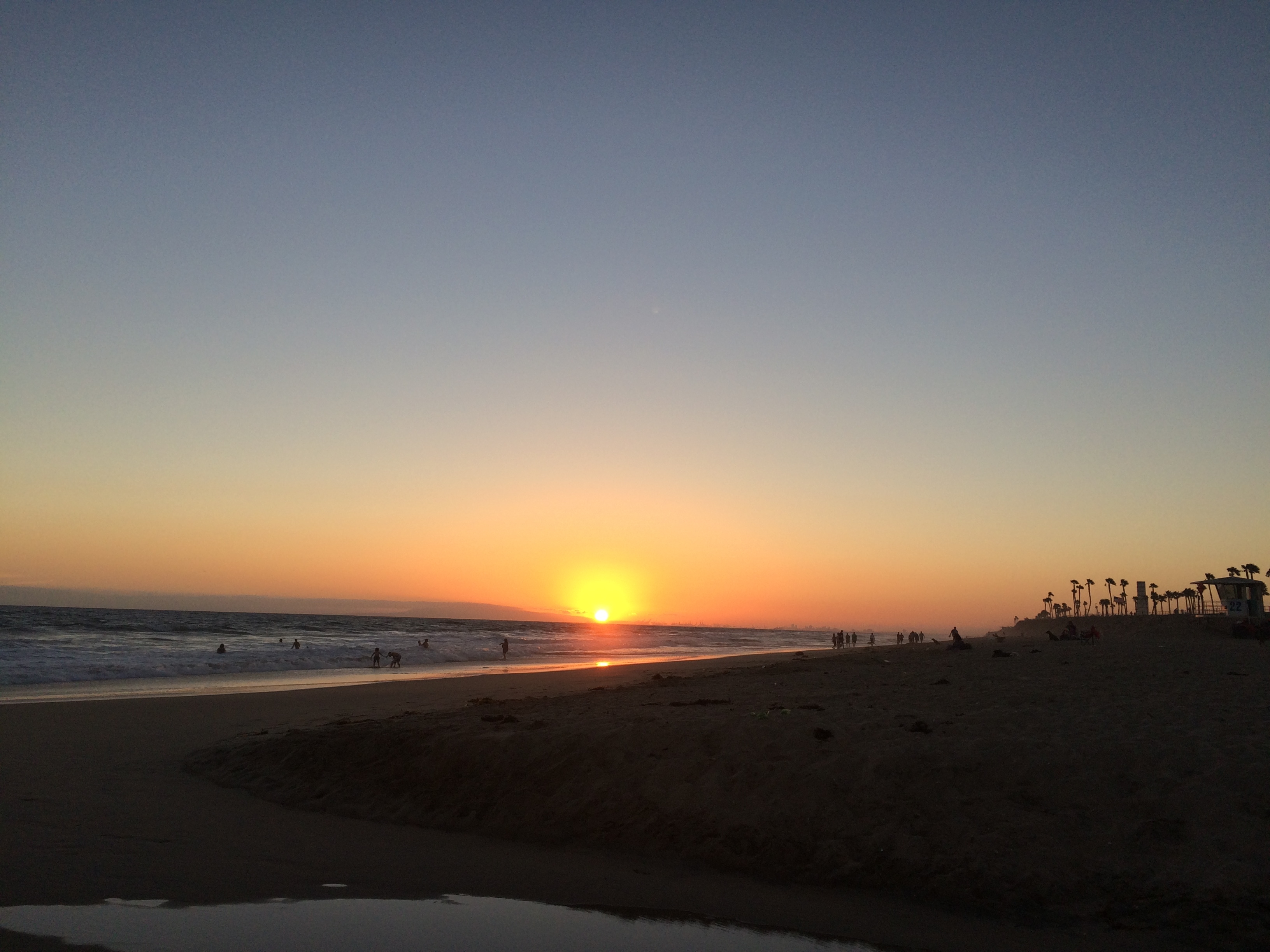
After trying to body surf a few waves and failing (or flailing) miserably we went to a cool little taco place in New Port Beach that I can’t remember the name of now. Drank a couple of beers, went to the beach to catch the sunset, and then back to Joe’s place to crash.
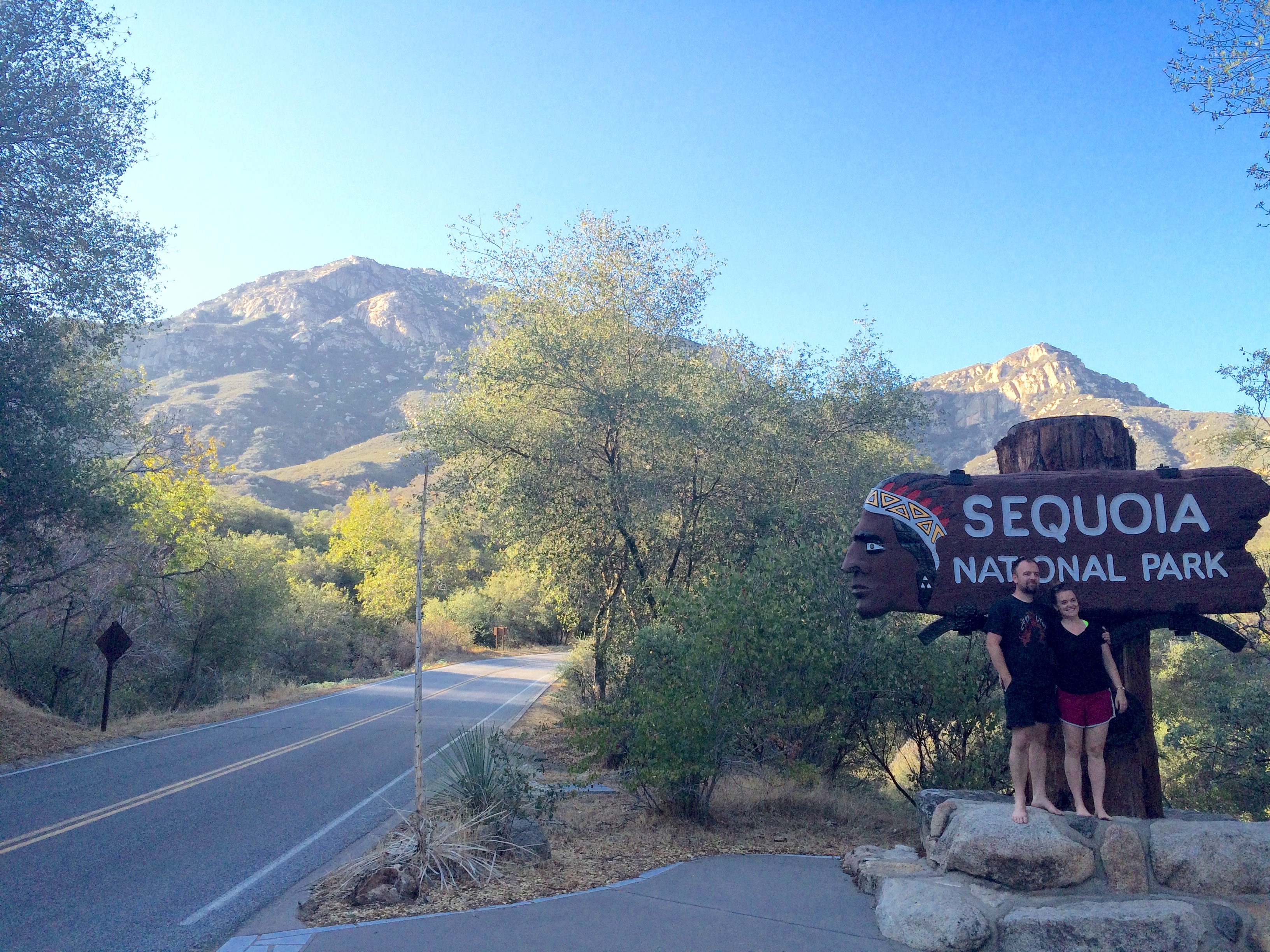
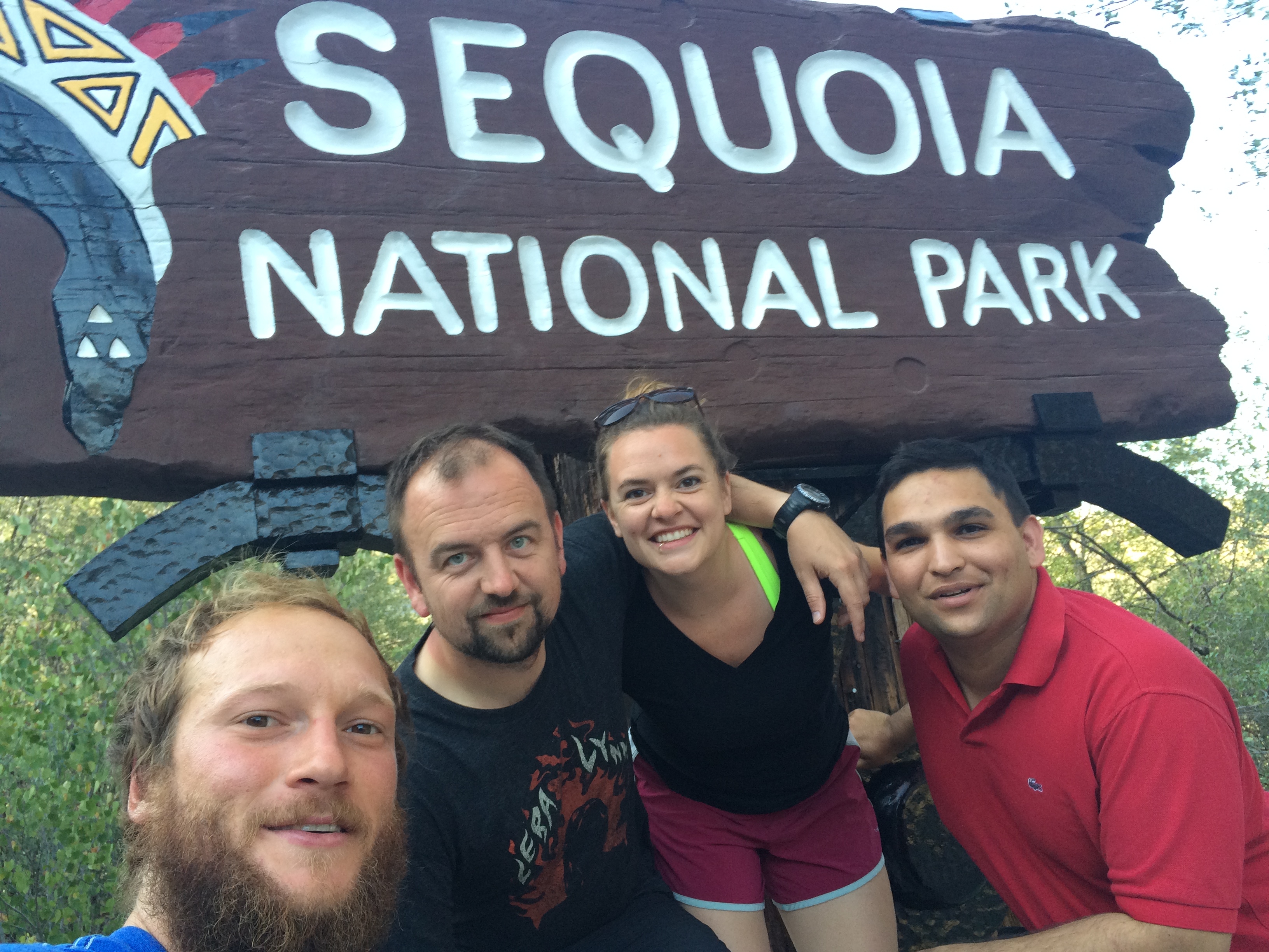
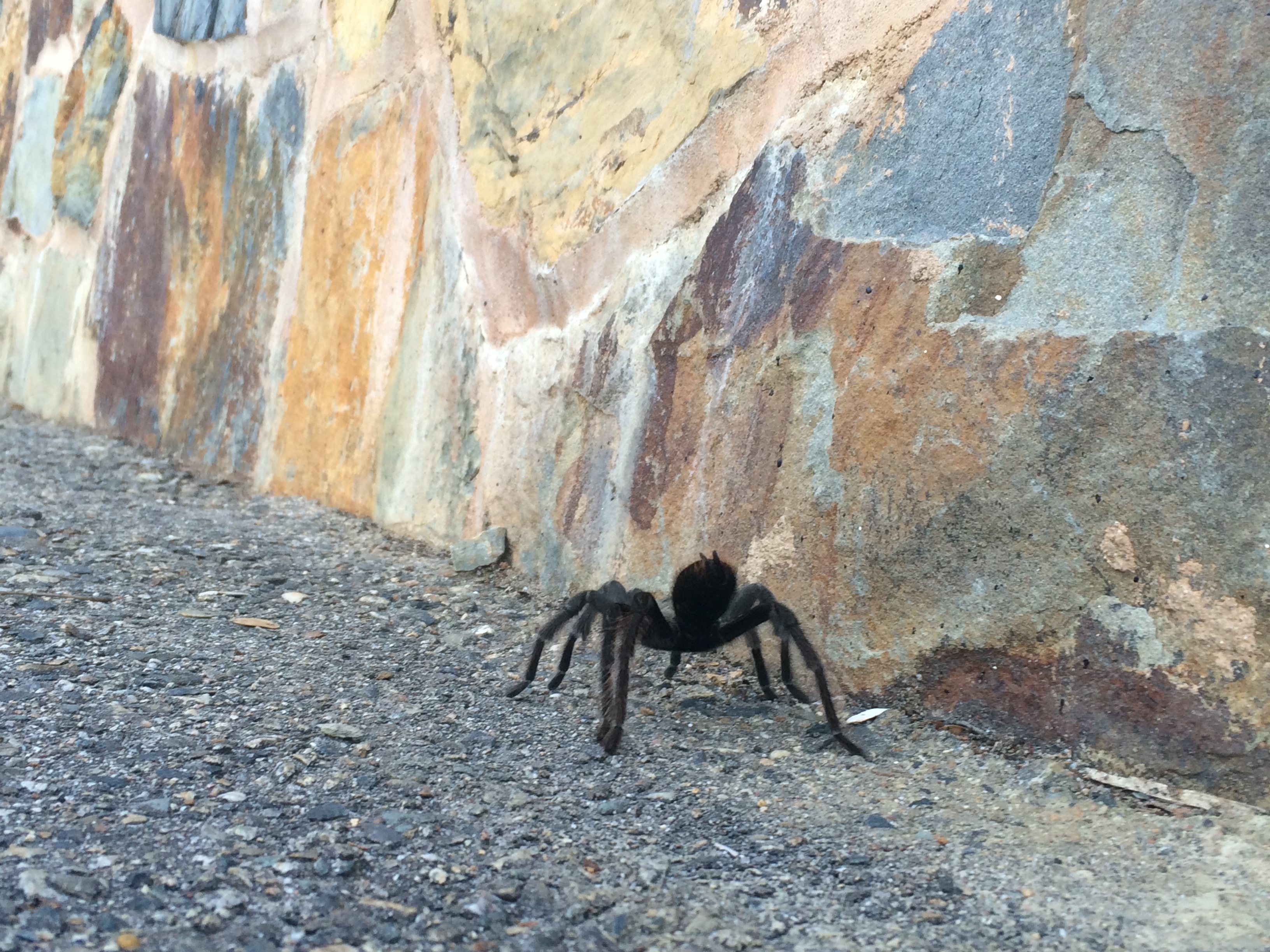
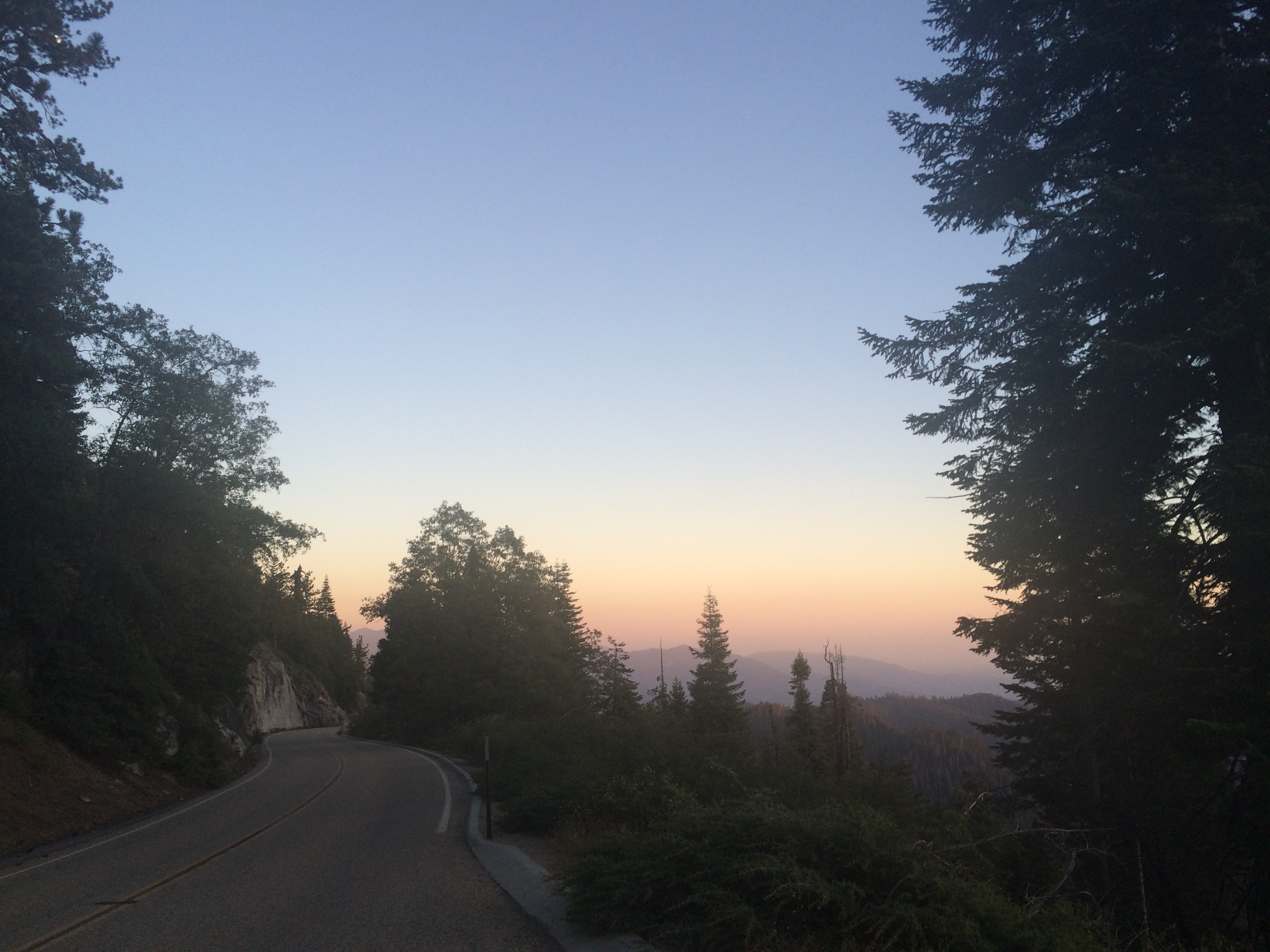
The next morning, Ryan, Amanda, Kanish (a friend of Ryan’s who flew in late that night to accompany us in the Sierras), and I drove into the mountains. Our first stop was Sequoia and King’s Canyon National Parks. We got to the park just an hour or two before sunset. It made the huge vistas of pine trees clinging to granite peaks pretty spectacular.
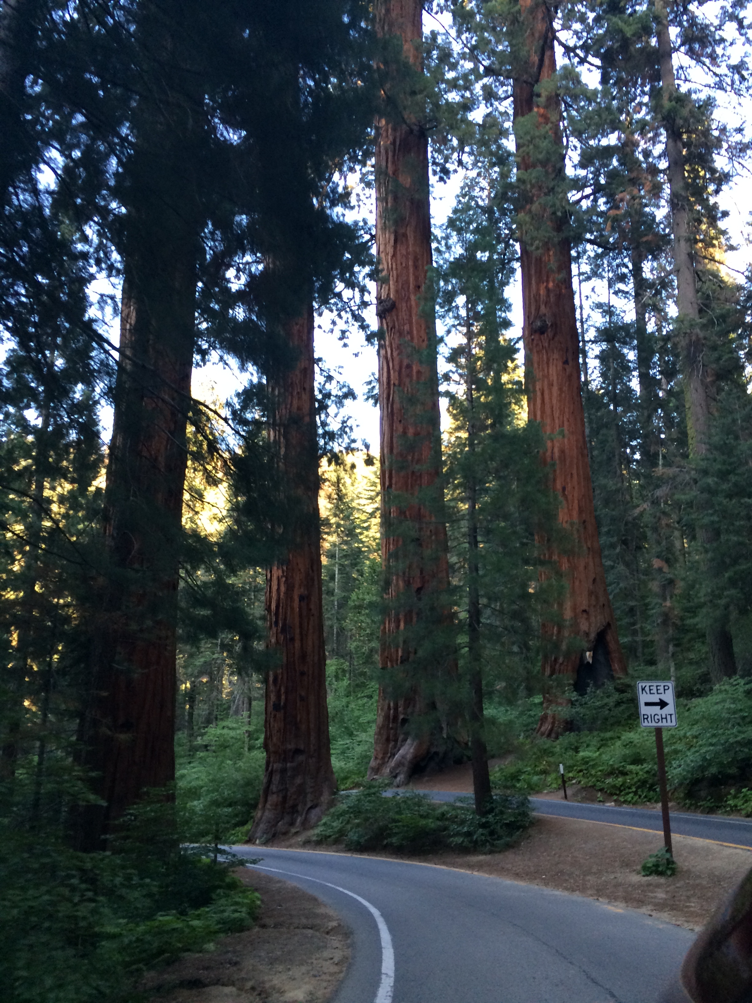
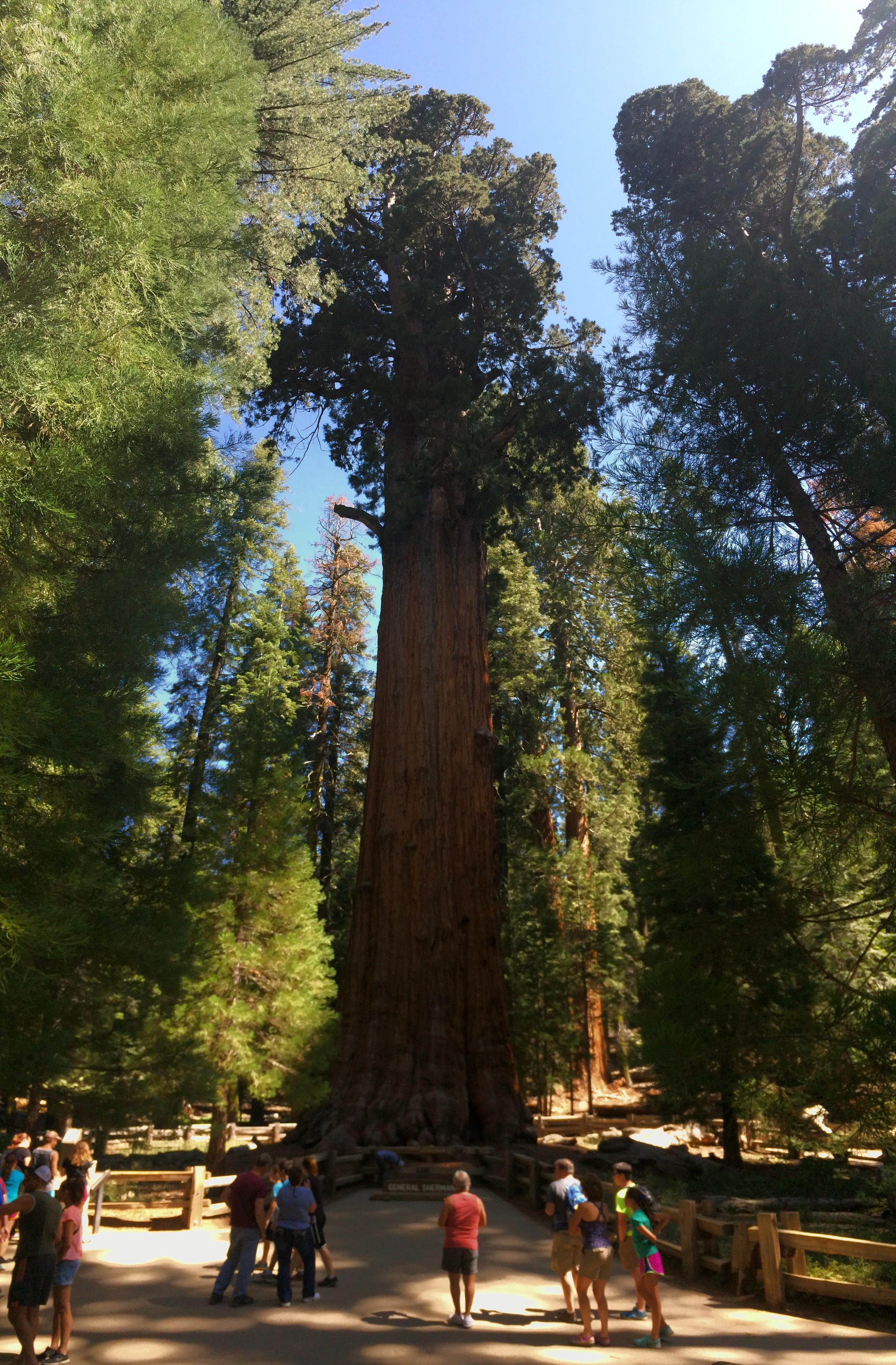
The trees were larger than any I had ever seen. Sequoias with diameters beyond comprehension and Redwoods that reached high into the sky. Just a taste of what we would see on our short jaunt to see General Sherman tree the next day. Most of the campgrounds were full and the first one we could find with any space was Grant Grove in King’s Canyon National Park. We found an awesome spot with a great view that was lit up by the spectacular moon light from the full moon.
The next day we woke up and did the short walk to see the Giant Sequoia named General Sherman, the largest known living single stem tree on Earth by volume.
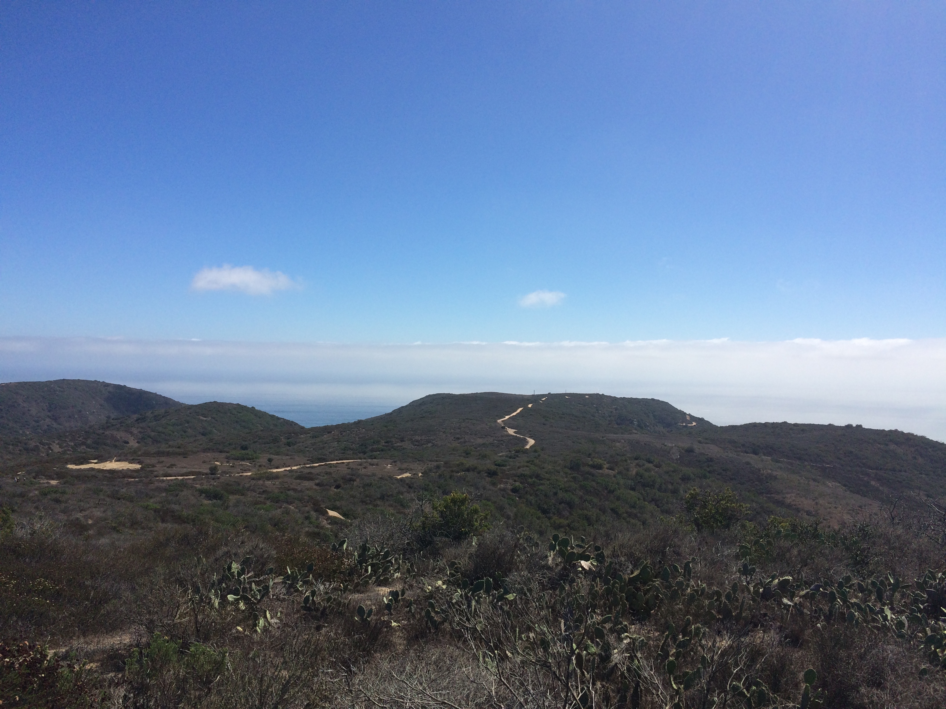
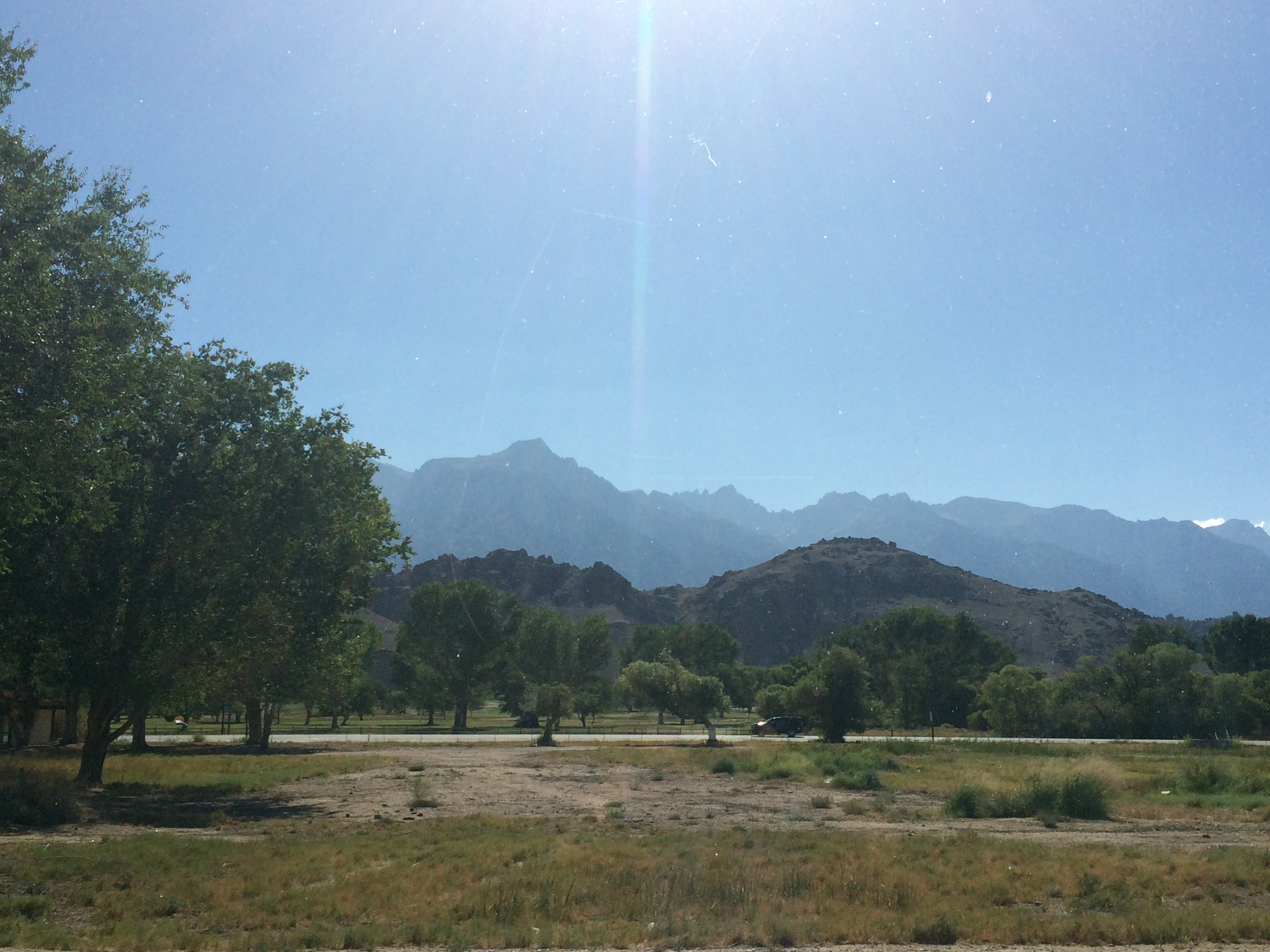
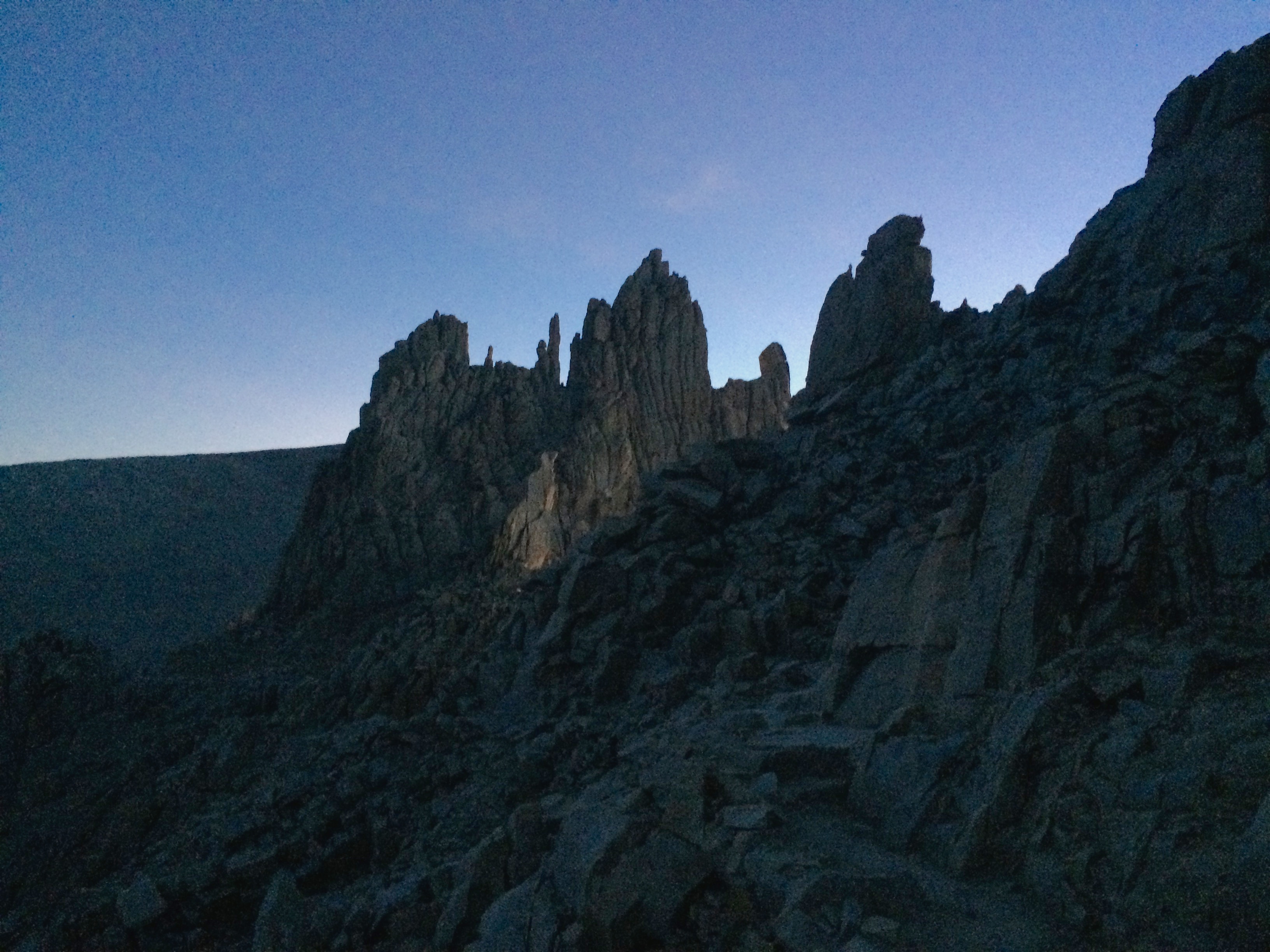
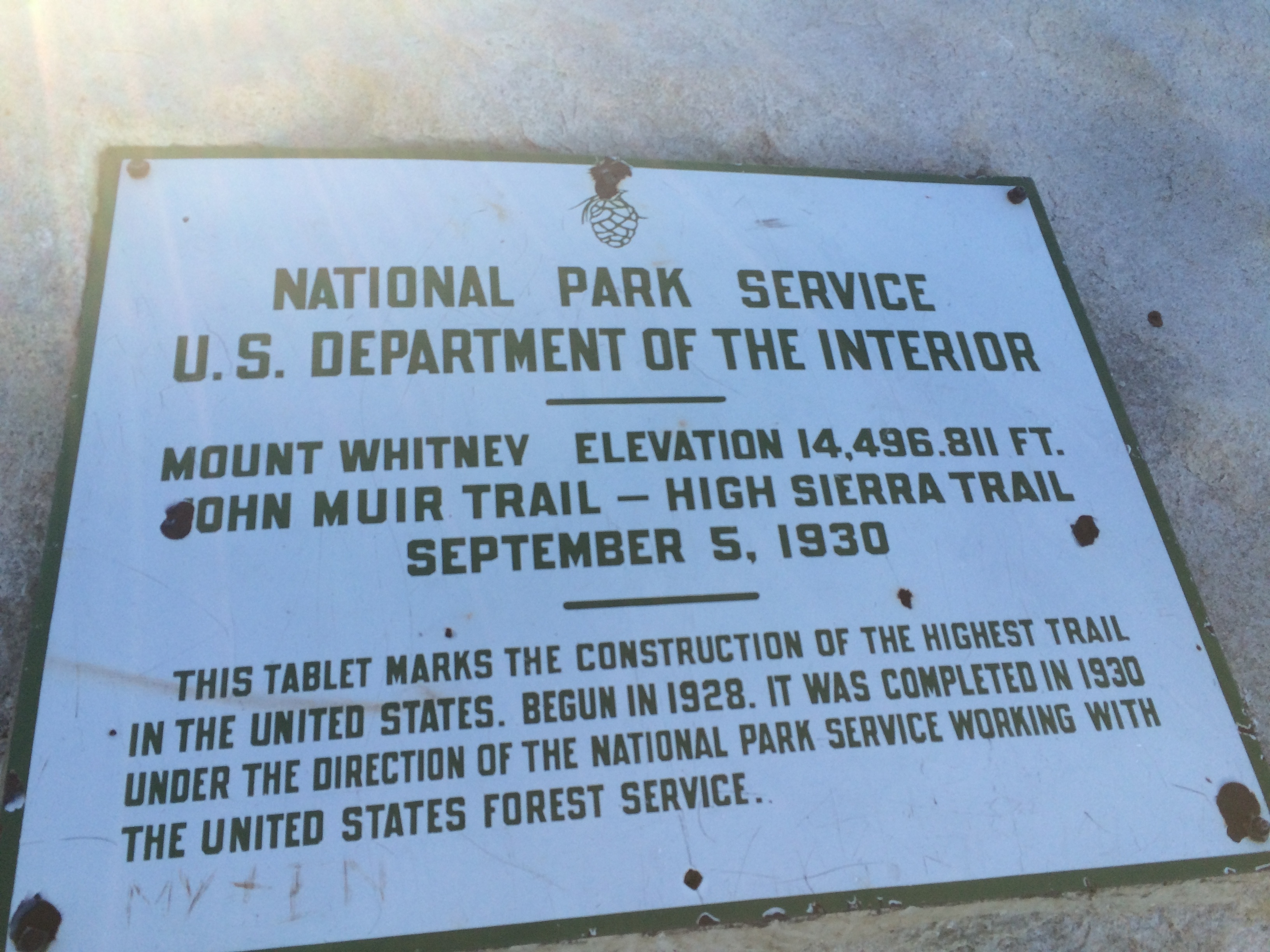
After the General Sherman tree hike we were back in the car to drive to pick up the permits for Mt. Whitney in Lone Pine, CA. At the Visitor’s Center we got our first views of Whitney. Not 100% sure which peak it is, but I think it’s the larger peak to the right of the series of small peaks right in the middle of the picture. It doesn’t appear as the largest peak in the photo, because it is further away than the ones that look taller.
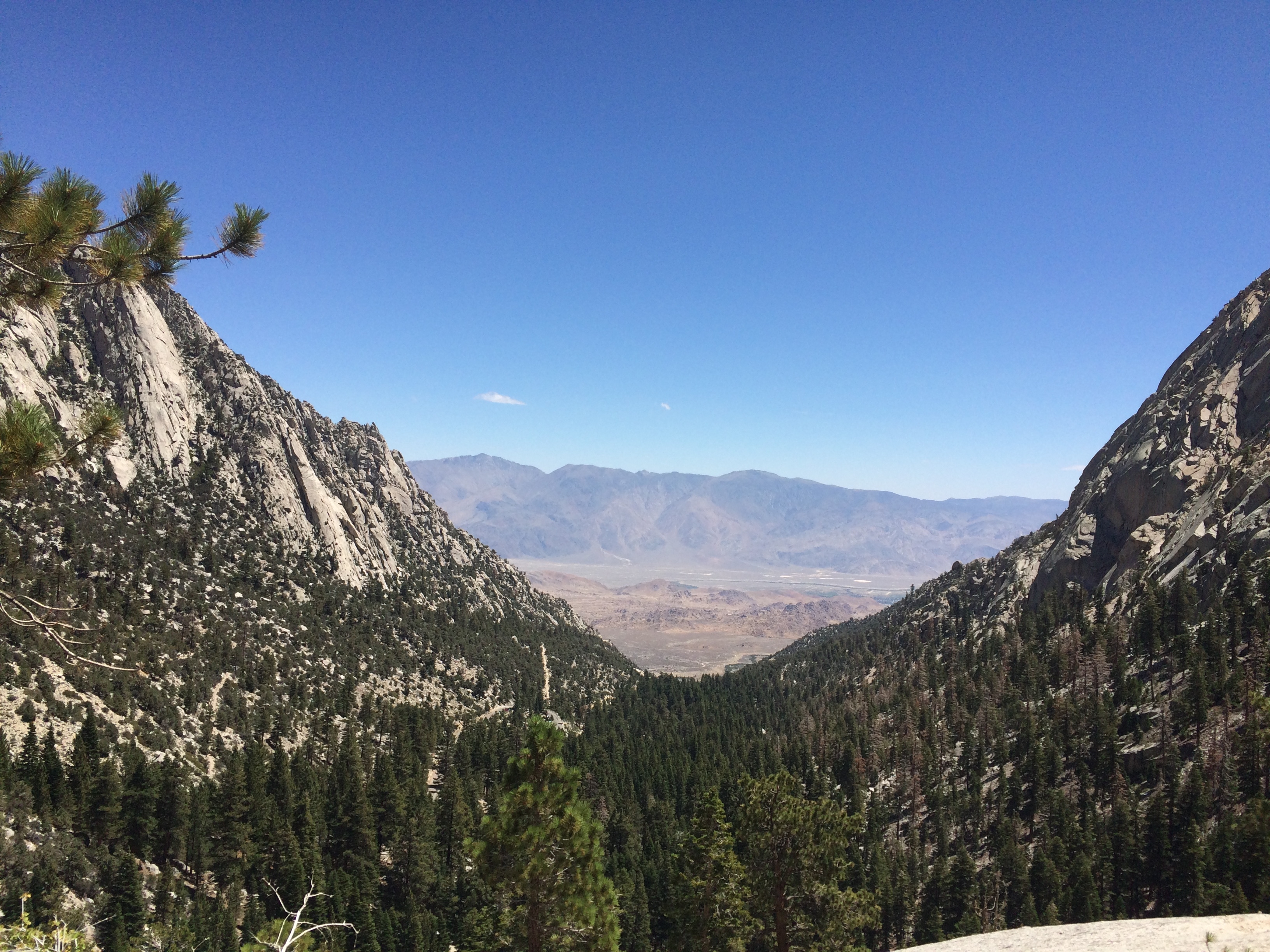
That night we camped on BLM land in the Alabama Hills a few miles outside of Lone Pine. Apparently a lot of Westerns were shot there due to their desert appearance with the huge Sierras in the background. We took Movie Road, a dirt road off of the main road up to Whitney Portal, to find our camp site for the night. Again we were rewarded with a spectacular moon that light up the desert as bright as an overcast day.
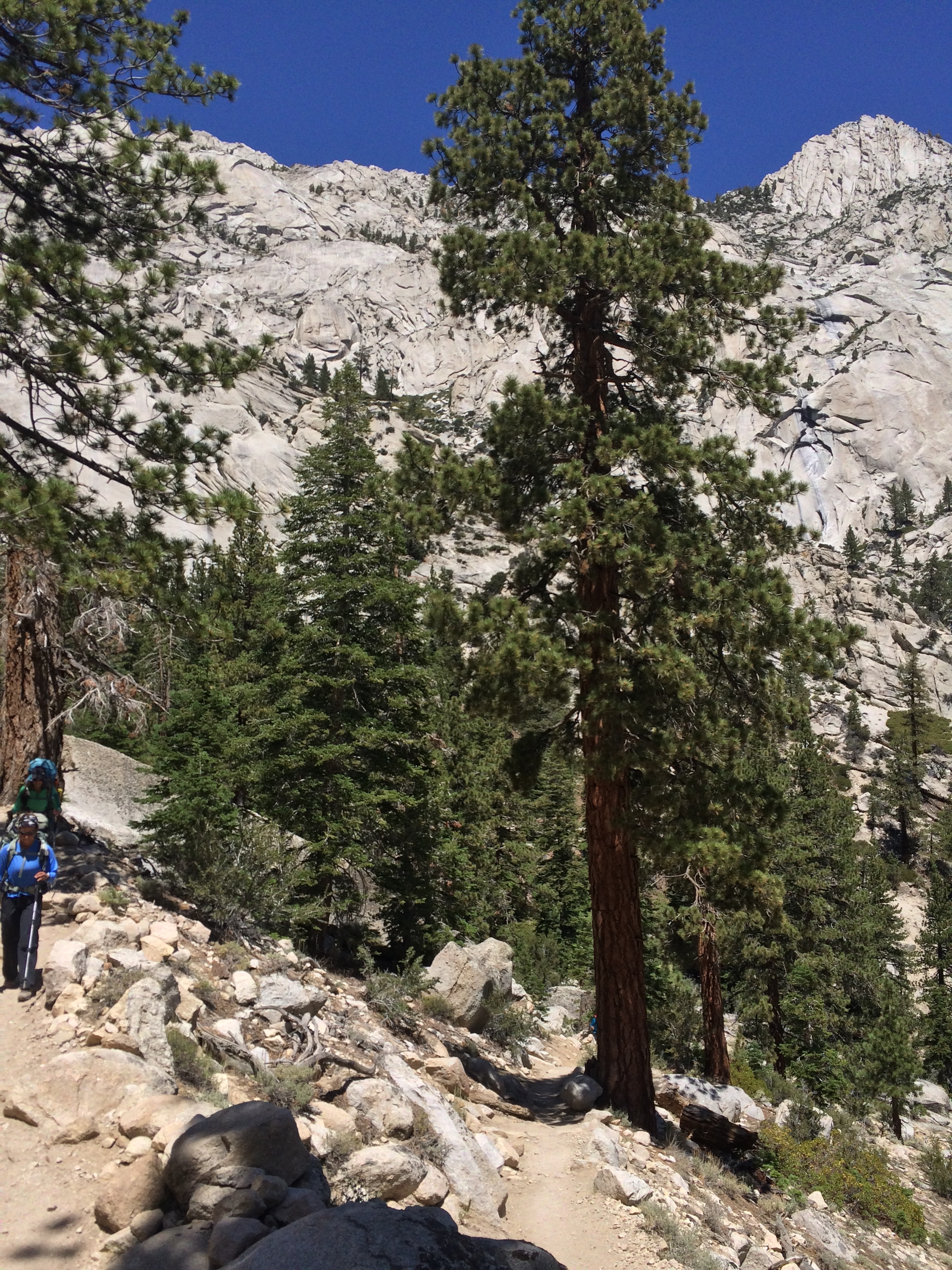
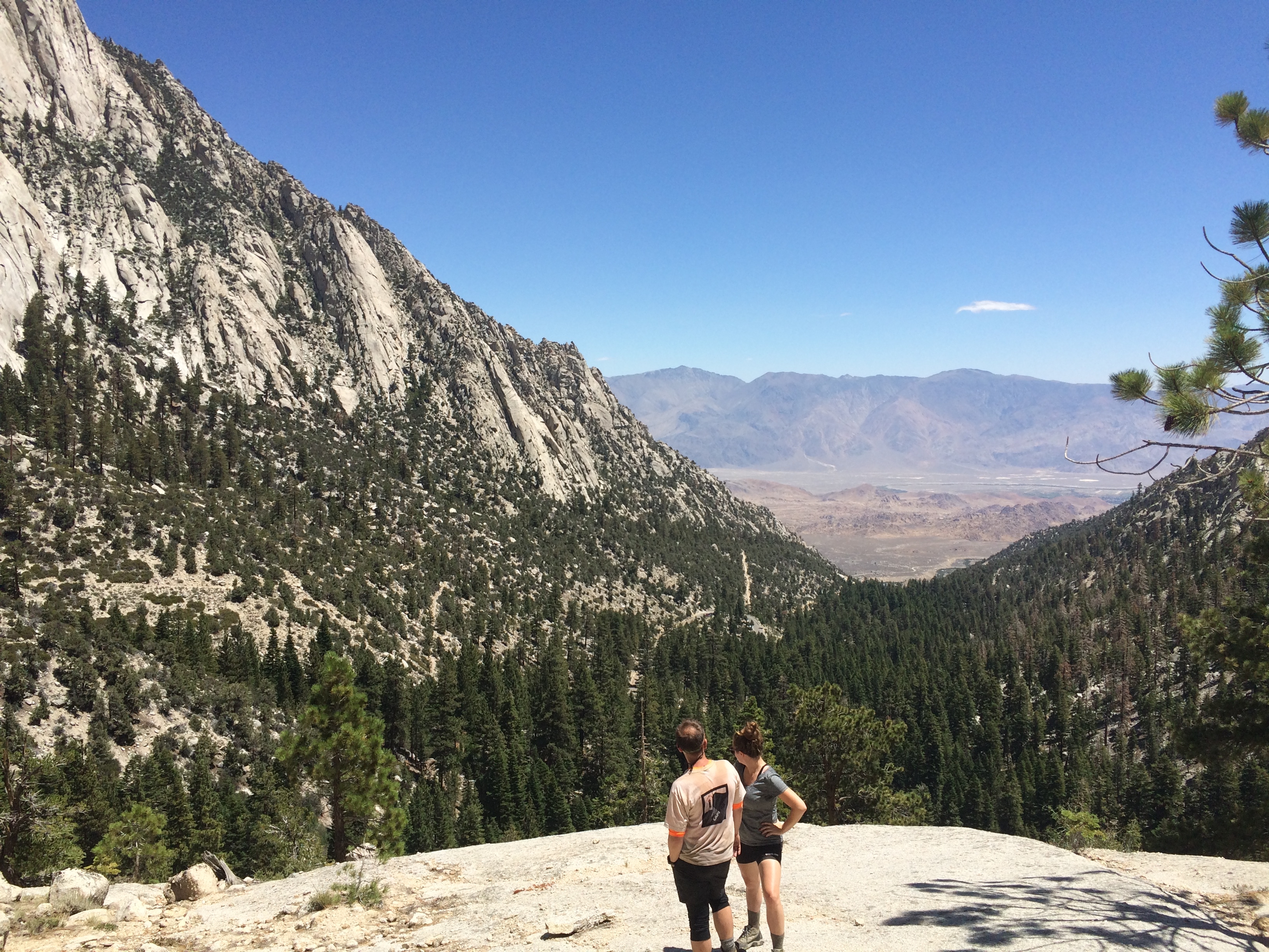
The next day we took our time getting up to the Mt Whitney Trailhead since we had all day to hike the 6 miles and 3500 vertical ft to Trail Camp. We went back into Lone Pine to refill water and eat a good breakfast and were up at Whitney Portal on the trail sometime just after noon.
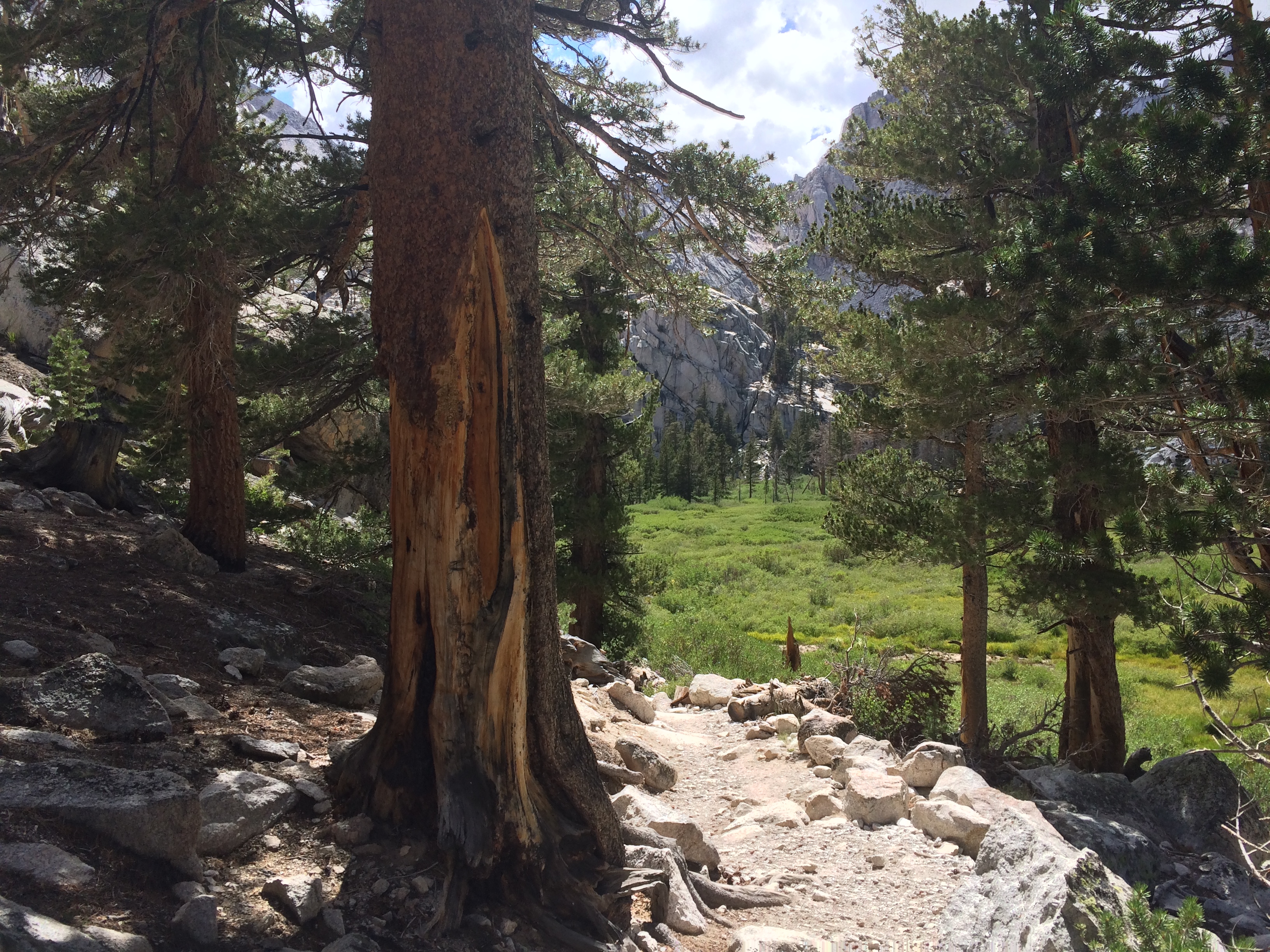
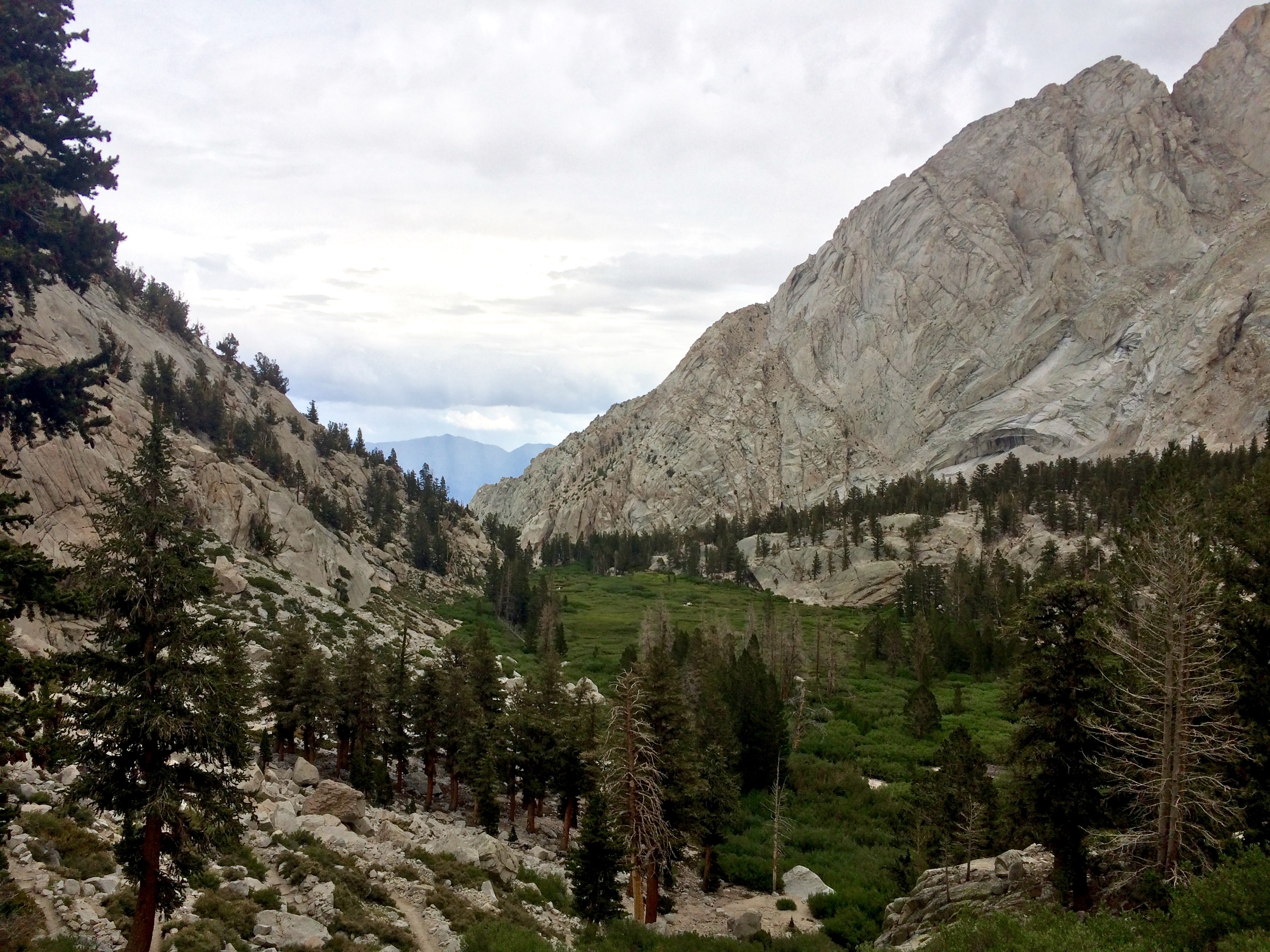
The hike was pretty strenuous at times. It was hot, but cooled as you gained elevation and the shade from a few large trees along the way helped keep you cool on breaks.
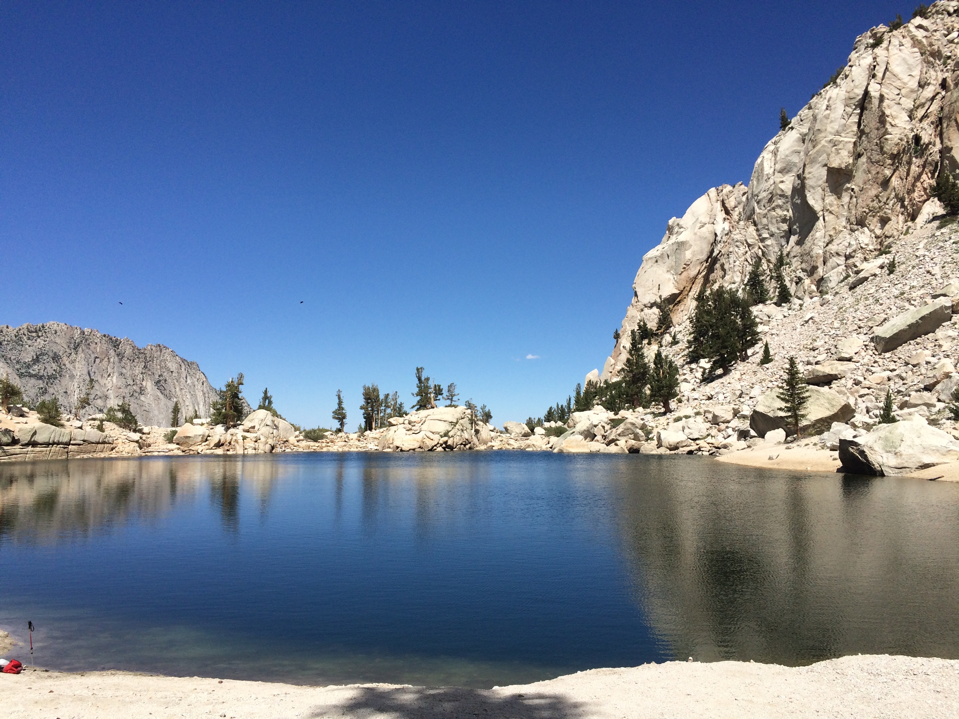
We stopped about 2 miles in to check out Lone Pine Lake and I went for a quick swim to cool off.
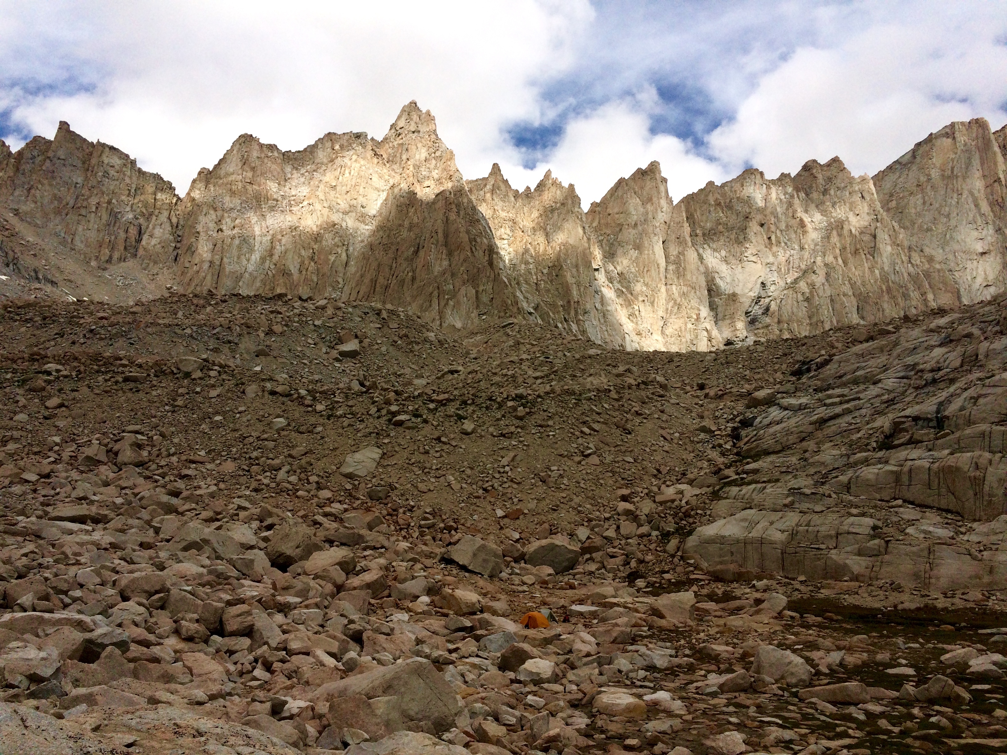
We arrived at Trail Camp at around 6. It’s by far the highest elevation I’ve ever camped at and Amanda was definitely feeling the elevation. She went right to bed when we got there at it wasn’t looking good for her getting to the summit the next day. The camp site was super pretty and the sunset was magnificent the way it reflected off of the small lake. We started filtering water as soon as we got there to replenish our reserves for the early hike the next morning. The water filter wasn’t working great and eventually quit pumping all together after we had only filled up about half of what we had, so we had to chemically treat the rest.
We heard from some other summit hikers that weather was supposed to come in by 11 am the next day so we opted for as early of a start as possible. We woke up at 3 am and were hiking by around 330. It was weird to see a bunch of people walking in the dark up the switchbacks with headlamps on. Sort of strange that there are this many people willing to put them through something that seems so unenjoyable on the surface just to stand on top of a rock. The question of why you would want to do such a thing never seems to come up in conversation with each other though.
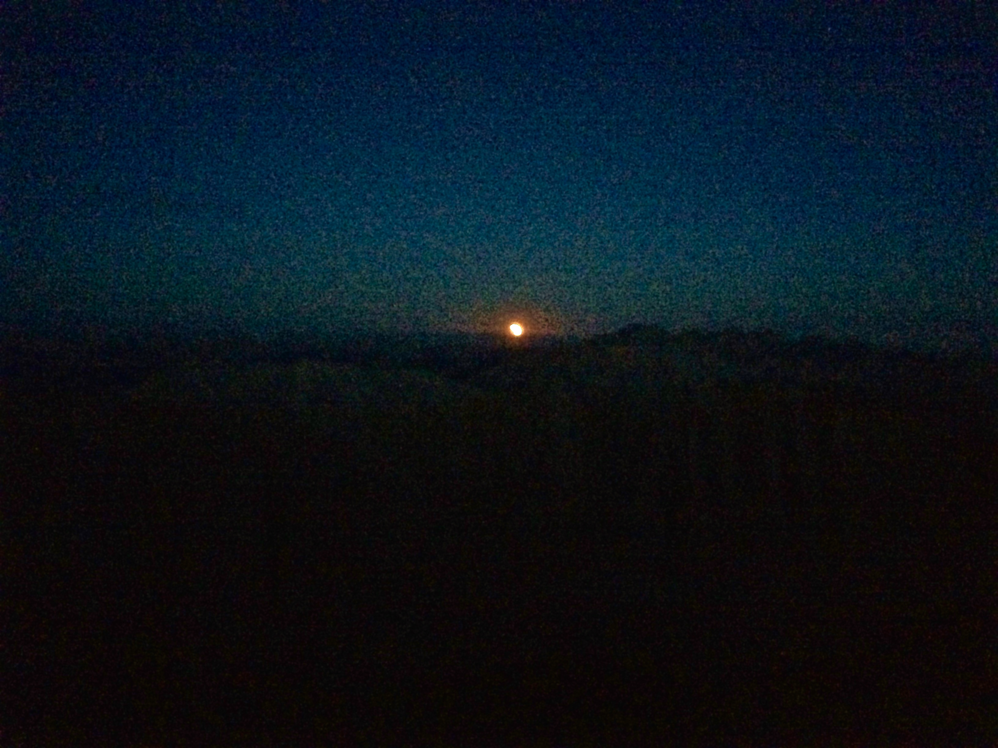
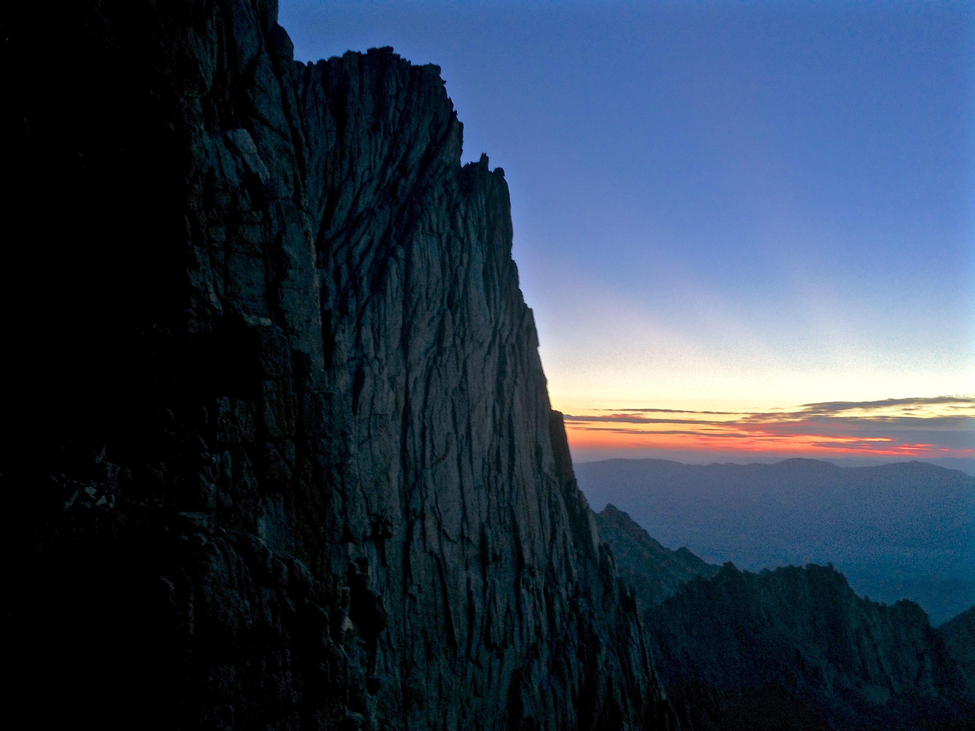
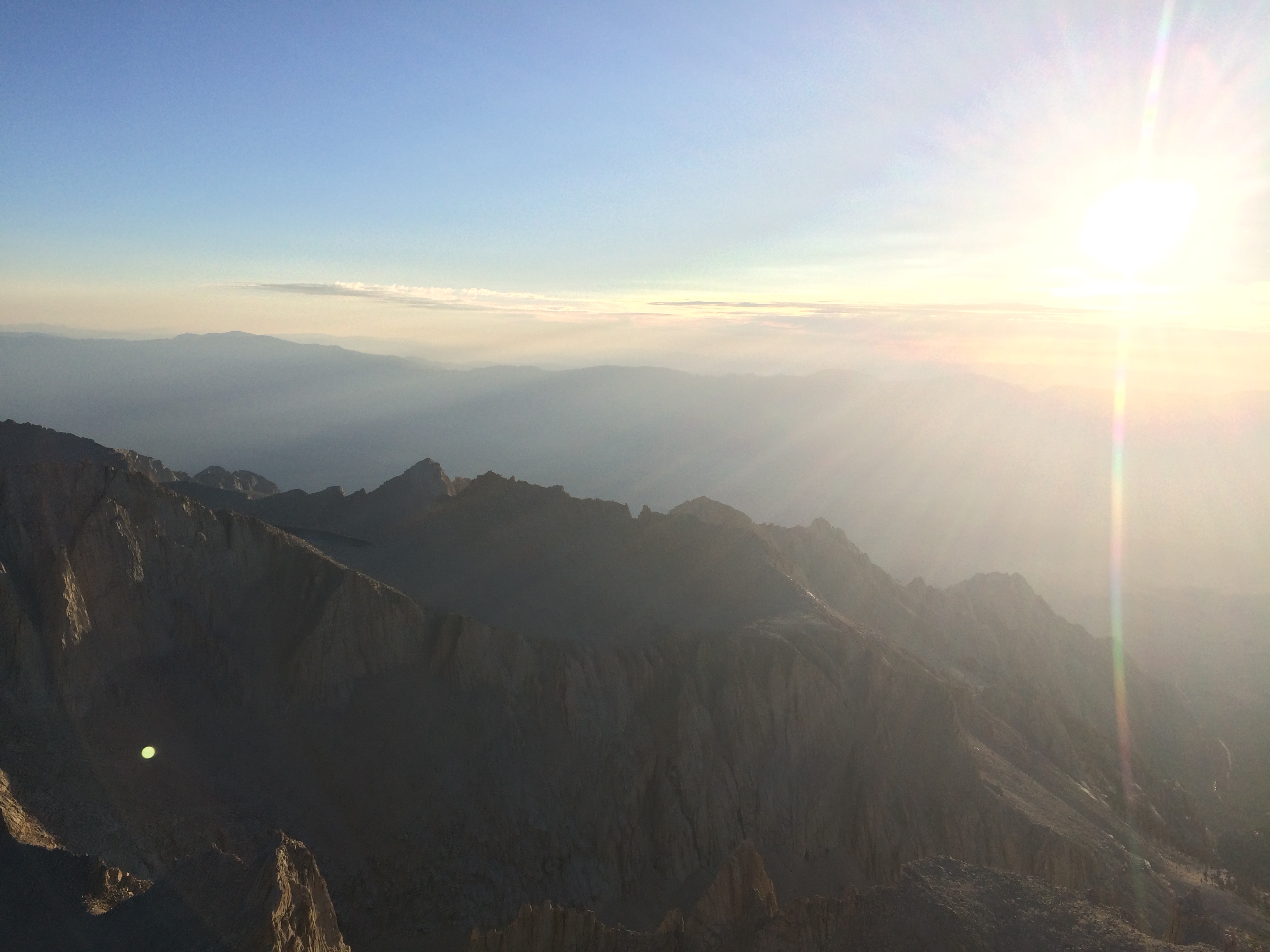
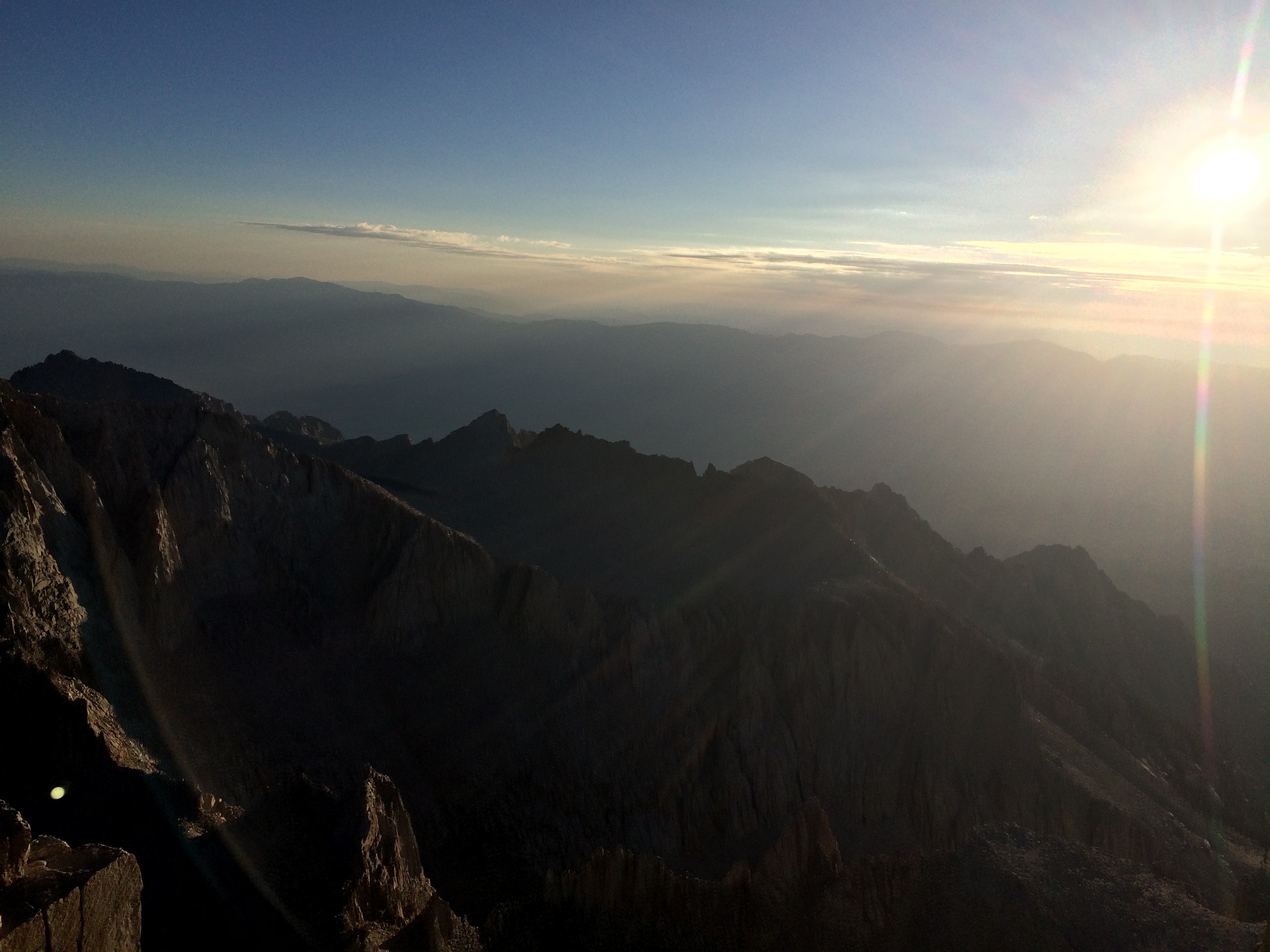
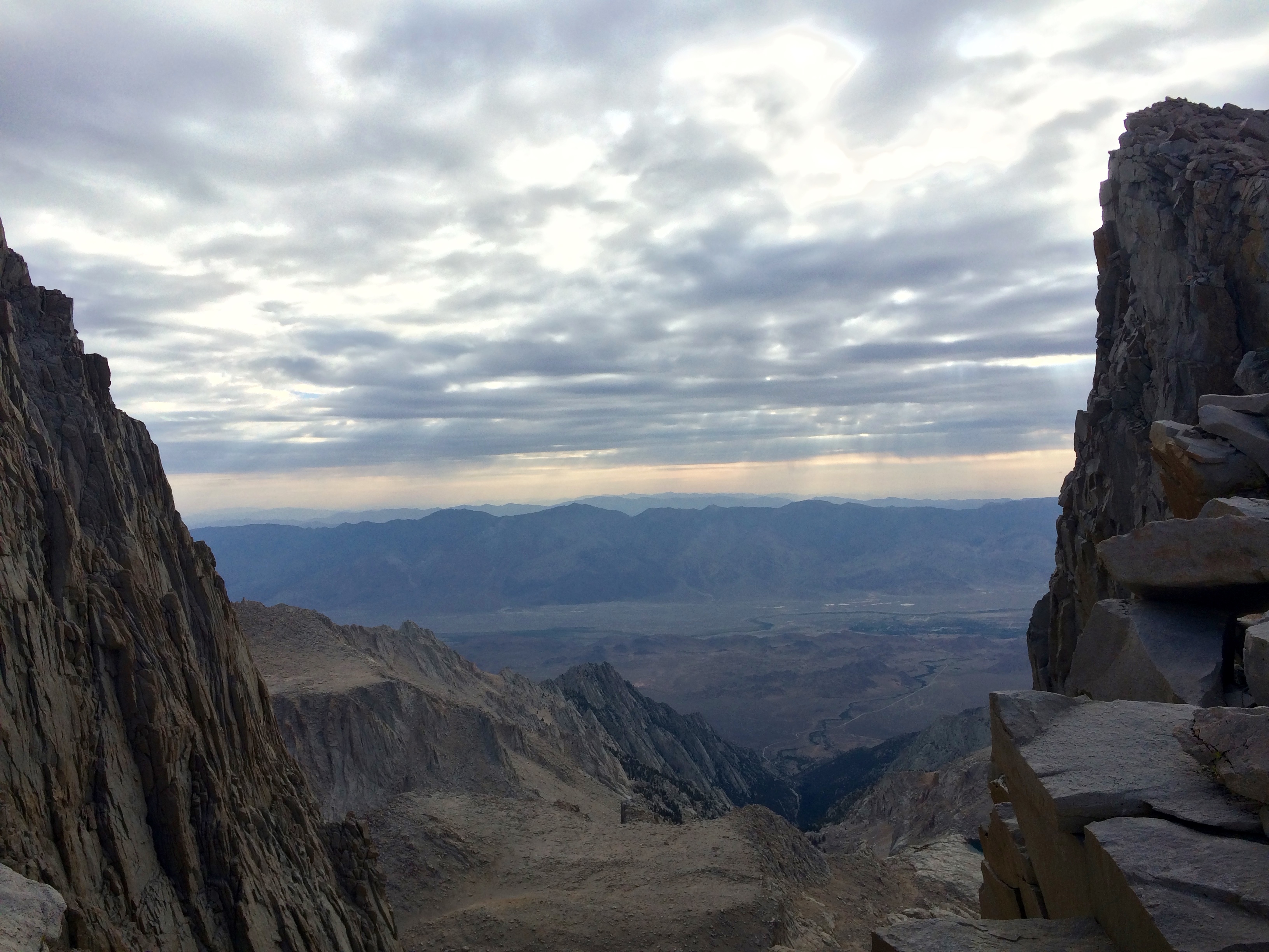
I kept my light on for awhile and was eventually able to hike without any light at all because of the full moon. Even though it had already set behind the ridge we were climbing the reflection off of adjacent rocks lit up the path enough once you let your eyes adjust. Immediately after camp we started climbing 90-100 switchbacks up to the ridge line. It felt never-ending, but I pushed it pretty hard to try to make it to the summit before sunrise which was just before 6 am. When I got to the top of the switchbacks the moon was just starting to set over the interior Sierras to the West. Up against the horizon it looked huge and was super red. It was hard to grab a photo of it with just a phone and this is the best I could come up with.
It continued to provide plenty of light to hike with and combined with the first light from the sun made some incredible colors on the surrounding landscape.
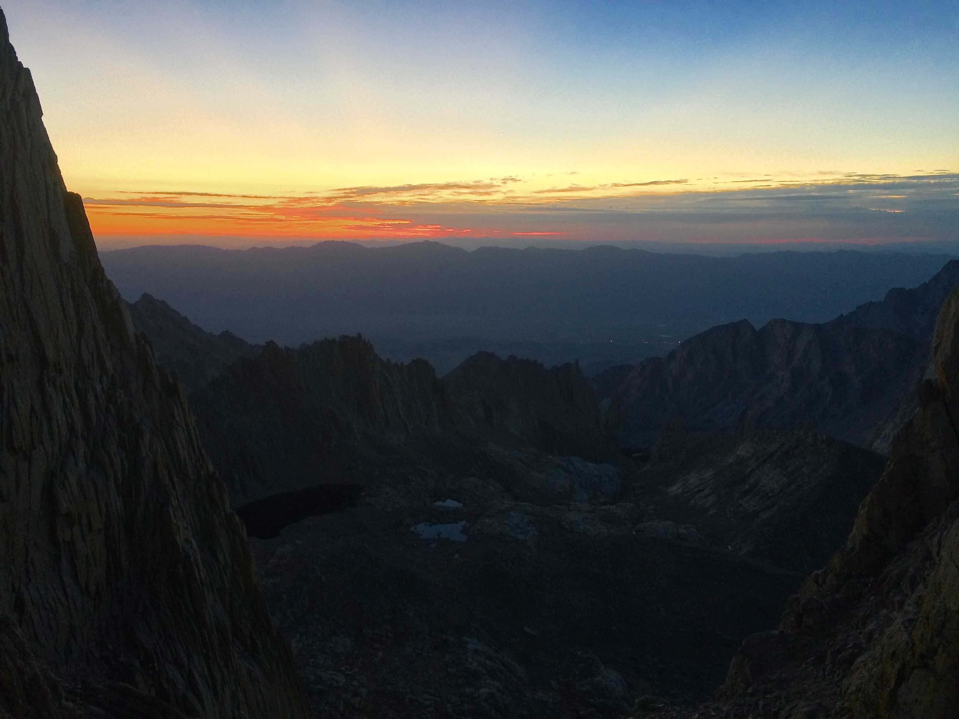
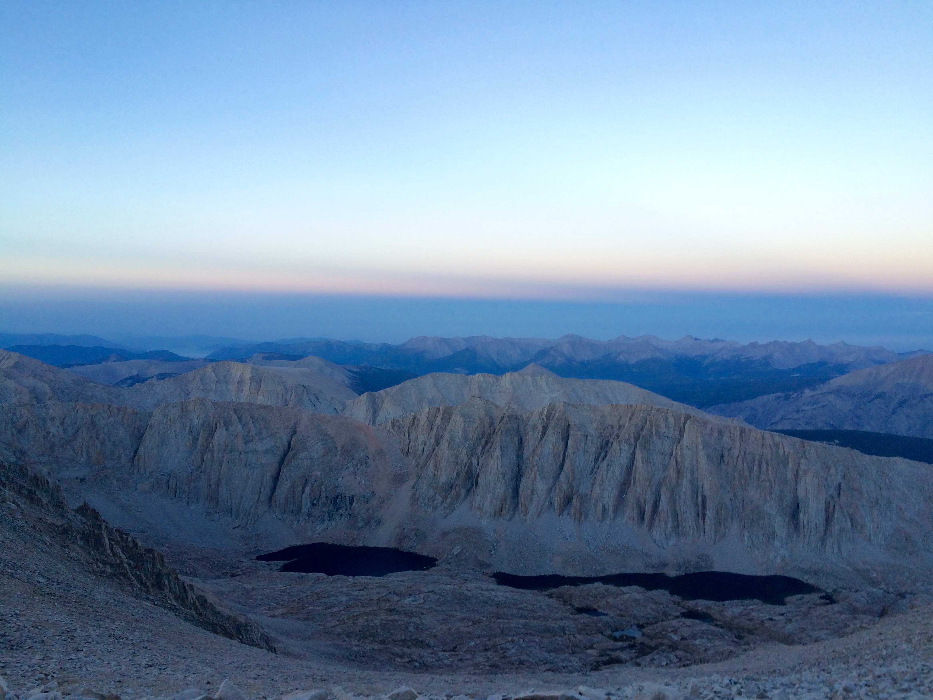
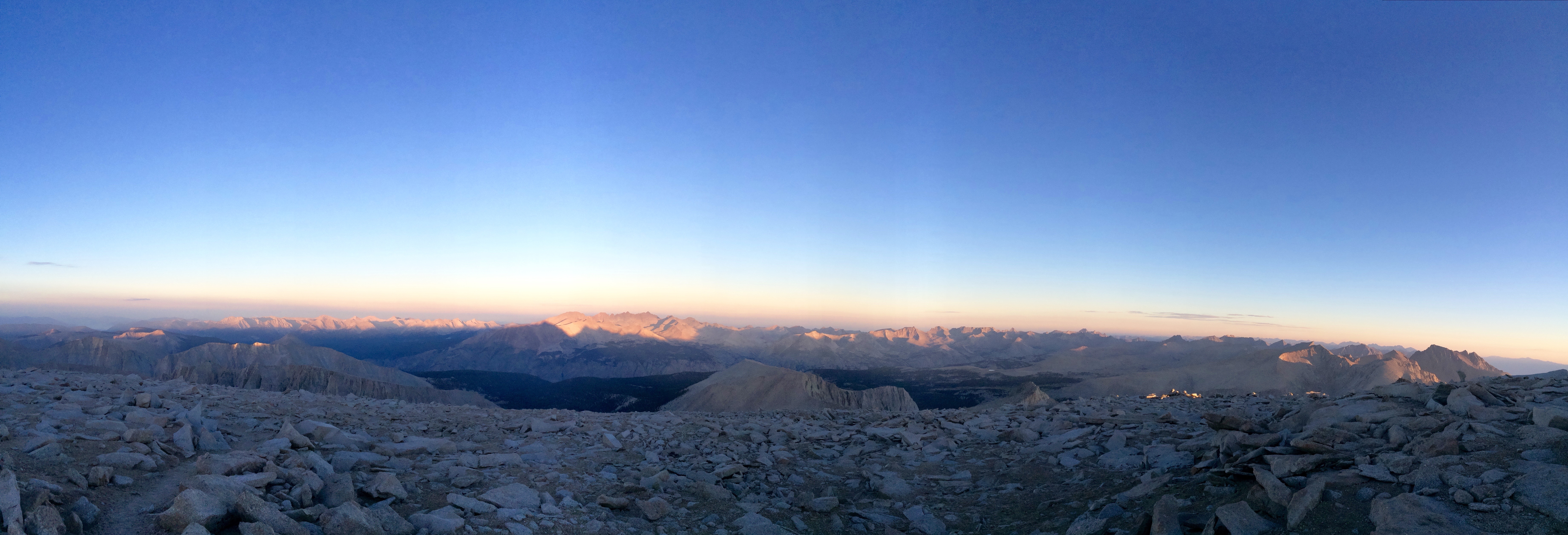
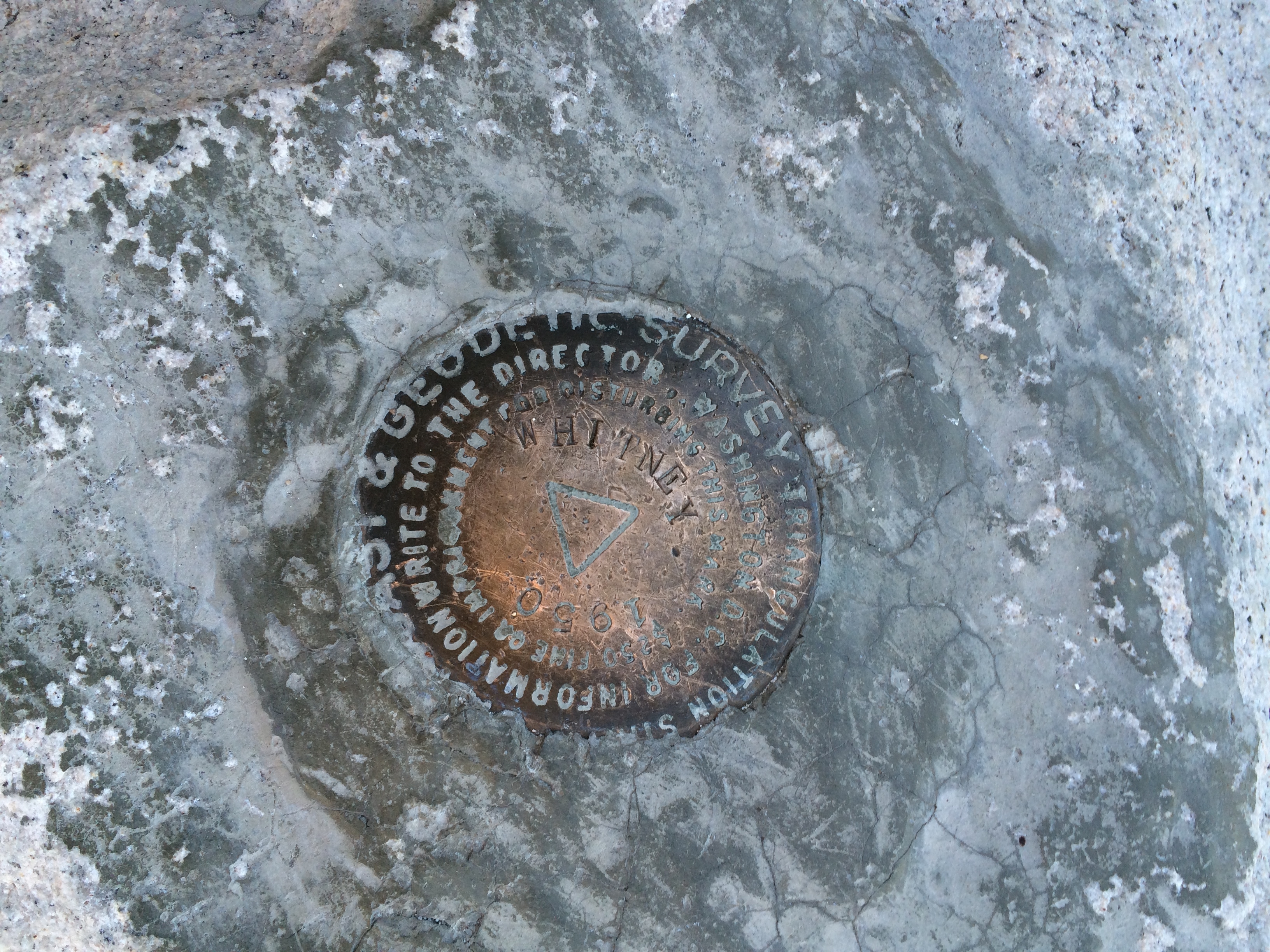
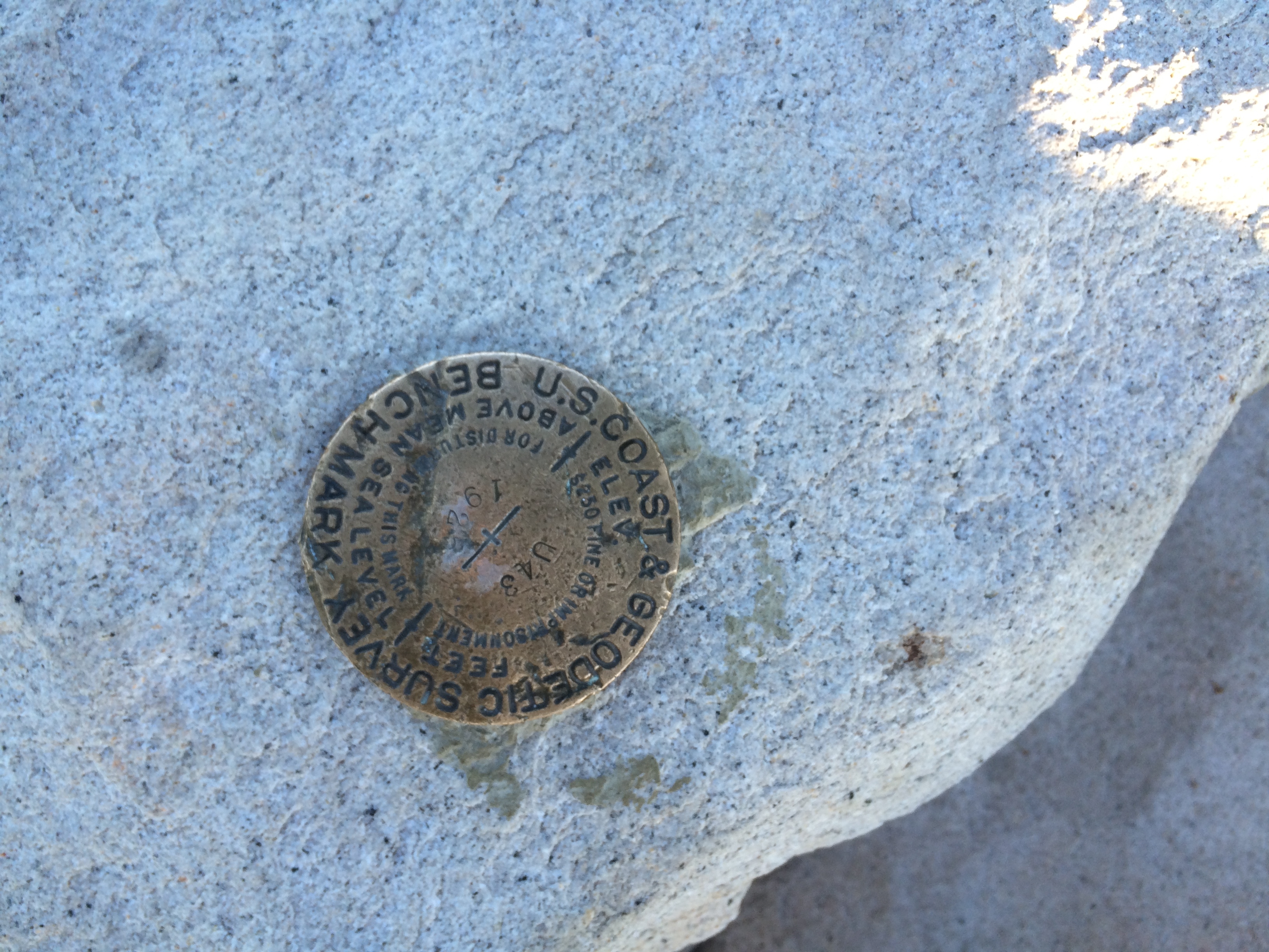
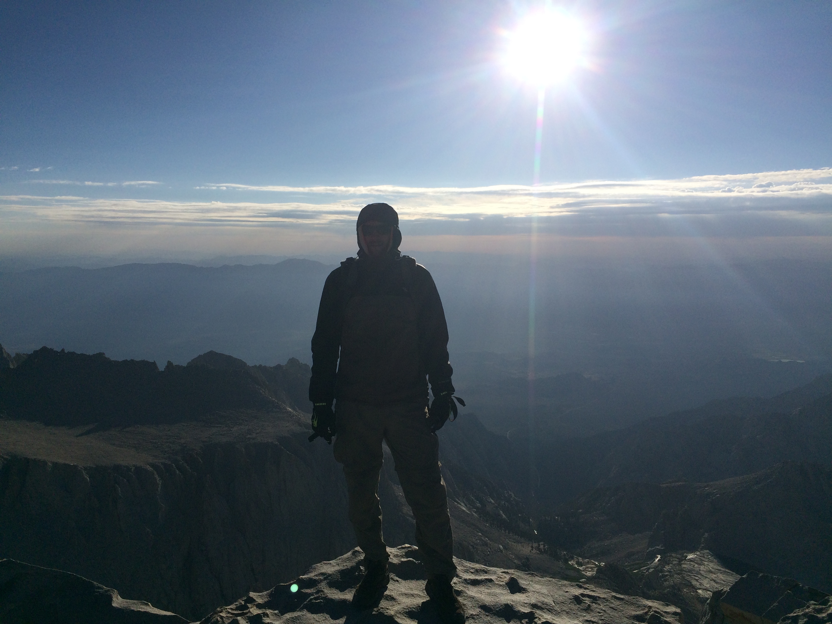
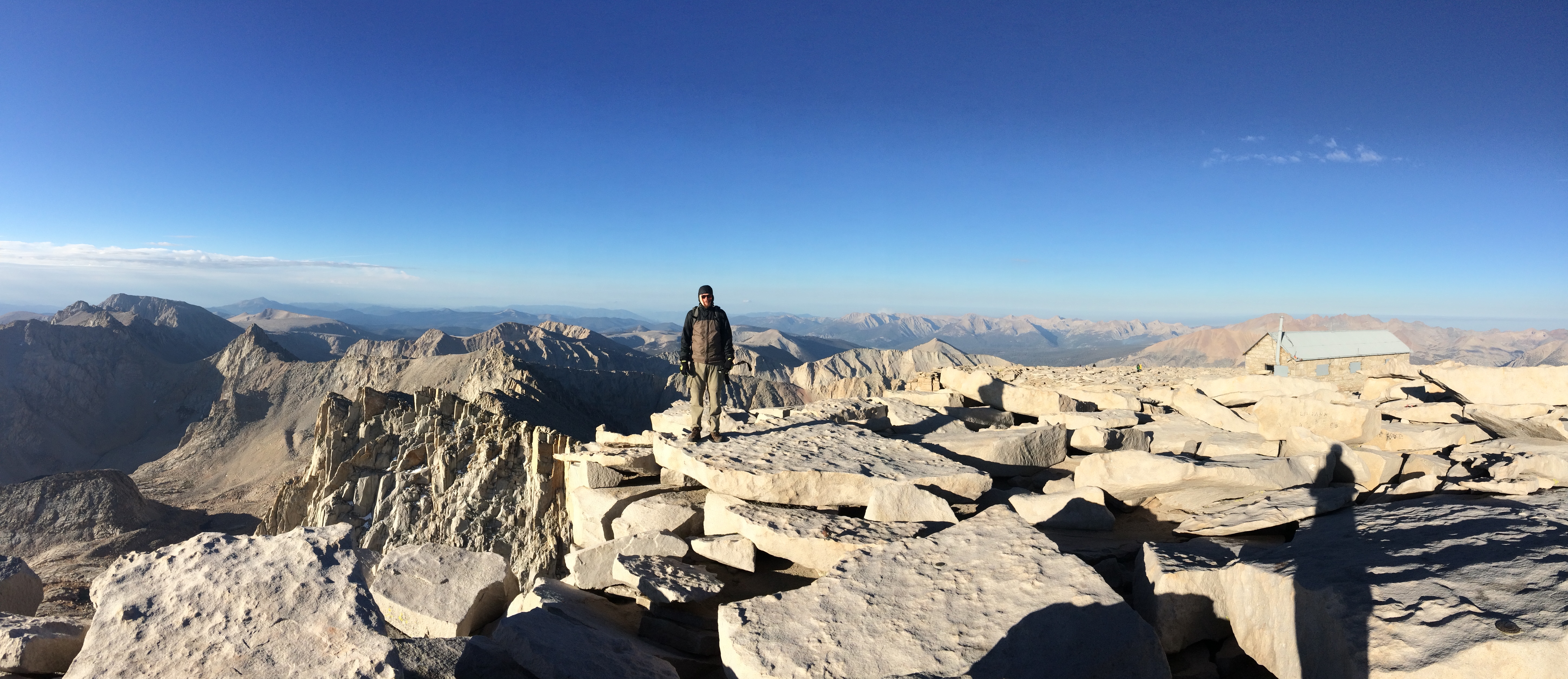
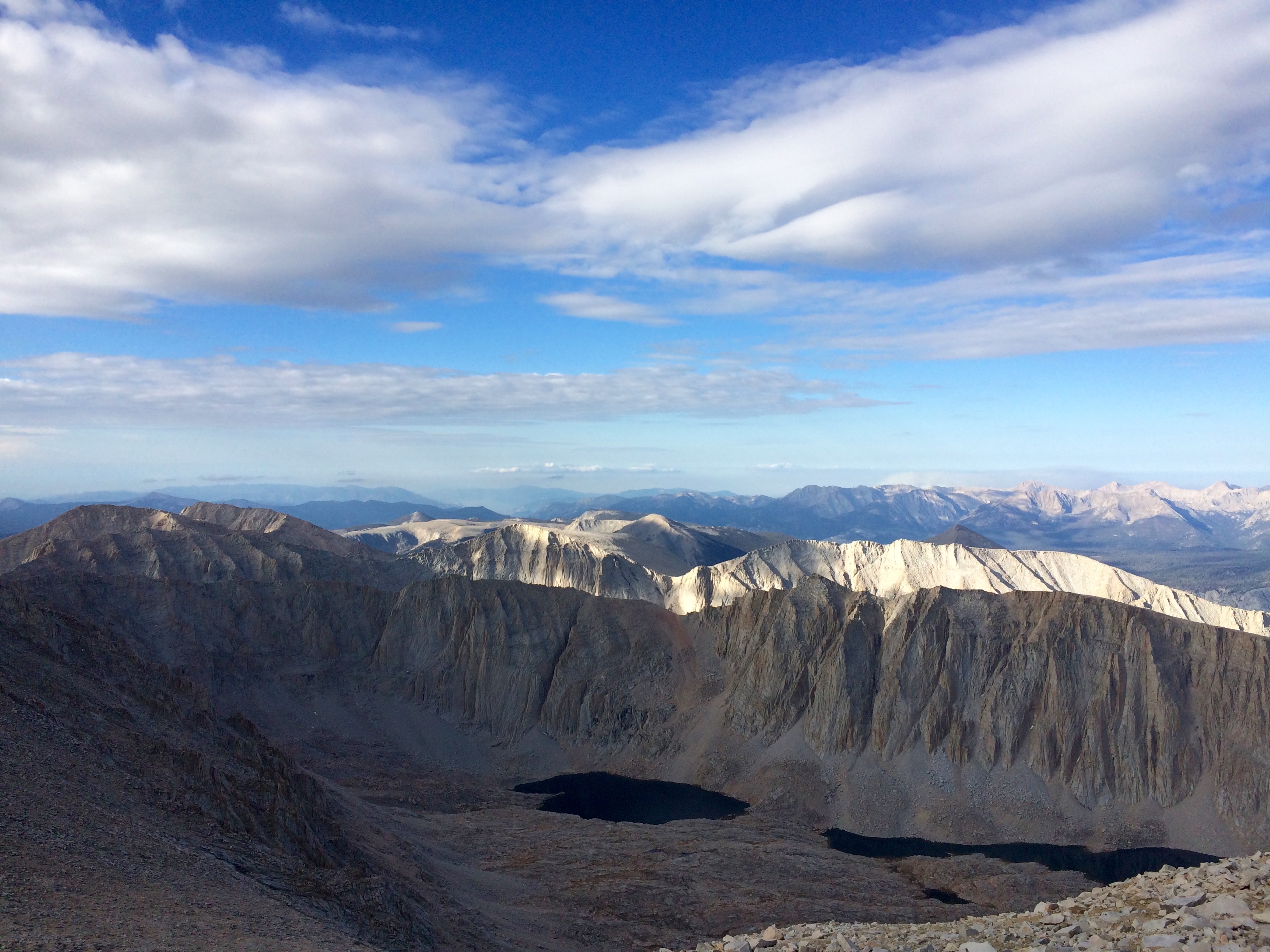
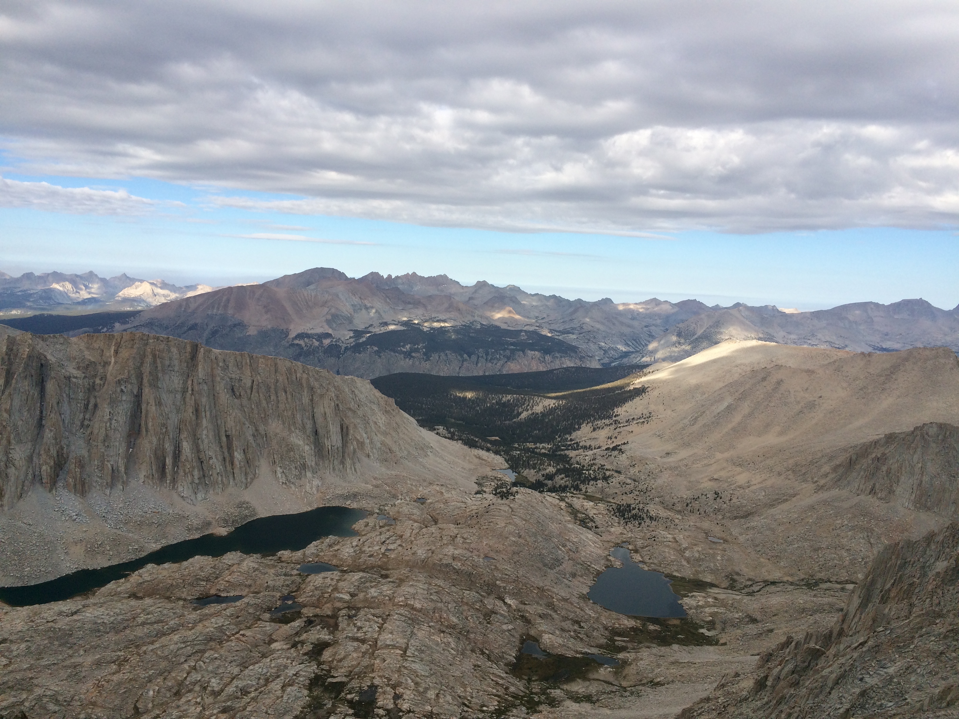
I missed sunrise on the summit by about 30 minutes, but was able to catch a few glimpses through the peaks as I ridge hiked to the top. The summit was incredible. There were already a good amount of people at the top when I got there, from through hikers to people who were hiking it over a couple days as we were.
Ended up spending about an hour or so on the summit hoping I would see Ryan and Amanda at the top before I decided to head back down. After some food, water, and sleep Amanda was feeling better and had decided to give the summit a go. Just as I was getting ready to head down I saw them coming up the trail to the summit. Was super glad to see them and share the summit with them before heading down.
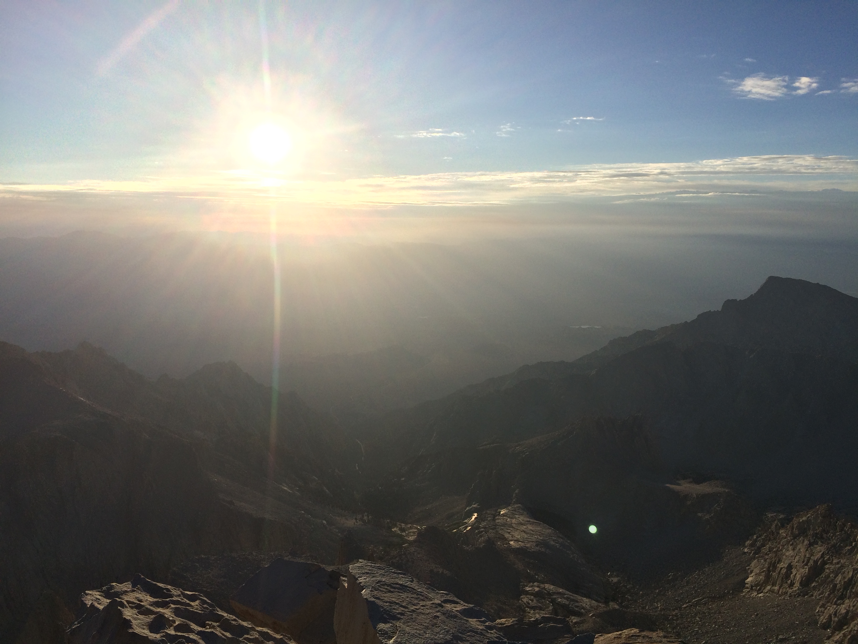
I made pretty good time on the way down and grabbed a nap when I got back to Trail Camp just after 10. I was exhausted, so I decided to take a nap and rest for awhile to prepare for the hike out. We started packing up camp sometime after noon as some suspicious clouds started to roll in. It looked like we might get rained on during the hike out, but we were happy with our decision to get up early, so we didn’t miss our opportunity to make it to the top. Even though we all had a chance to rest after the hike to the summit and back we were all still really tired when we finally got back on the trail.
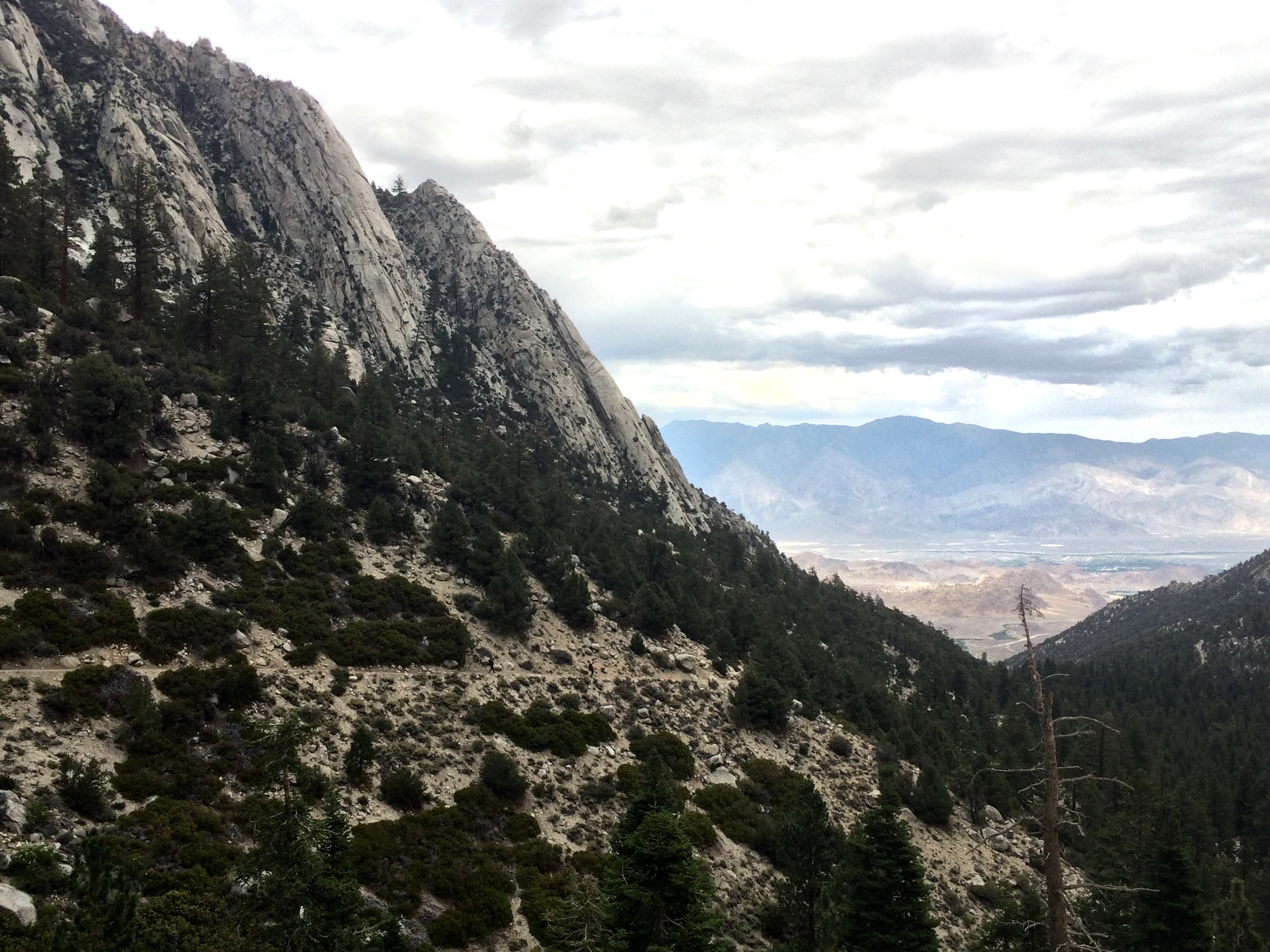
We made great time on the way out, but were all whopped when we got to the trailhead around 4. The Badwater Ultamarathon, 135-mile race starting at 282 ft below sea level in Badwater Basin, in Death Valley, and ending at 8360 ft at Whitney Portal, was just finishing up and helped make me realize I really wasn’t THAT tired. It was cool to see a few runners finish and we saw a few other runners as we drove out. An incredible accomplishment for them.
We decided to get a hotel near June lake for the night to recover as we all felt we had earned it. I had been thinking about how I could make the trip up to Mt Whitney summit a reality since Ryan had won the lottery for the permit back in April. It felt great that it worked out and we had all made it to the top. Another successful high point!!