
Monticello, UT to Natural Bridges National Monument – 67 miles
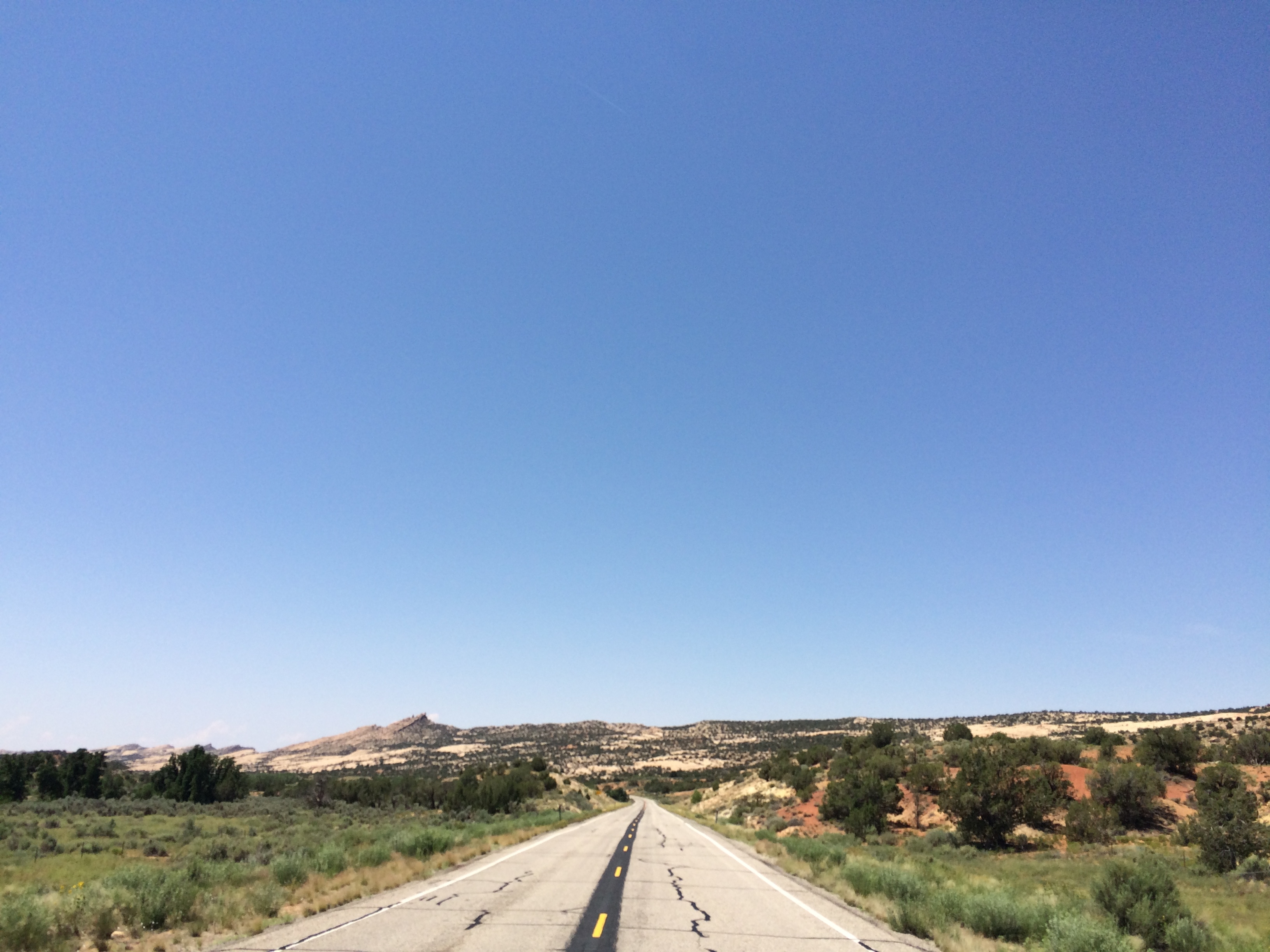
I woke up at Brian’s place at around 630. Brian was just leaving for work. I said bye, and made some breakfast. It was a mixture of nuts, yogurt, and berries that he had prepared. I whipped up some eggs as well. I was packed up and on the road by 730. The terrain was hilly, but it was nice and cool.
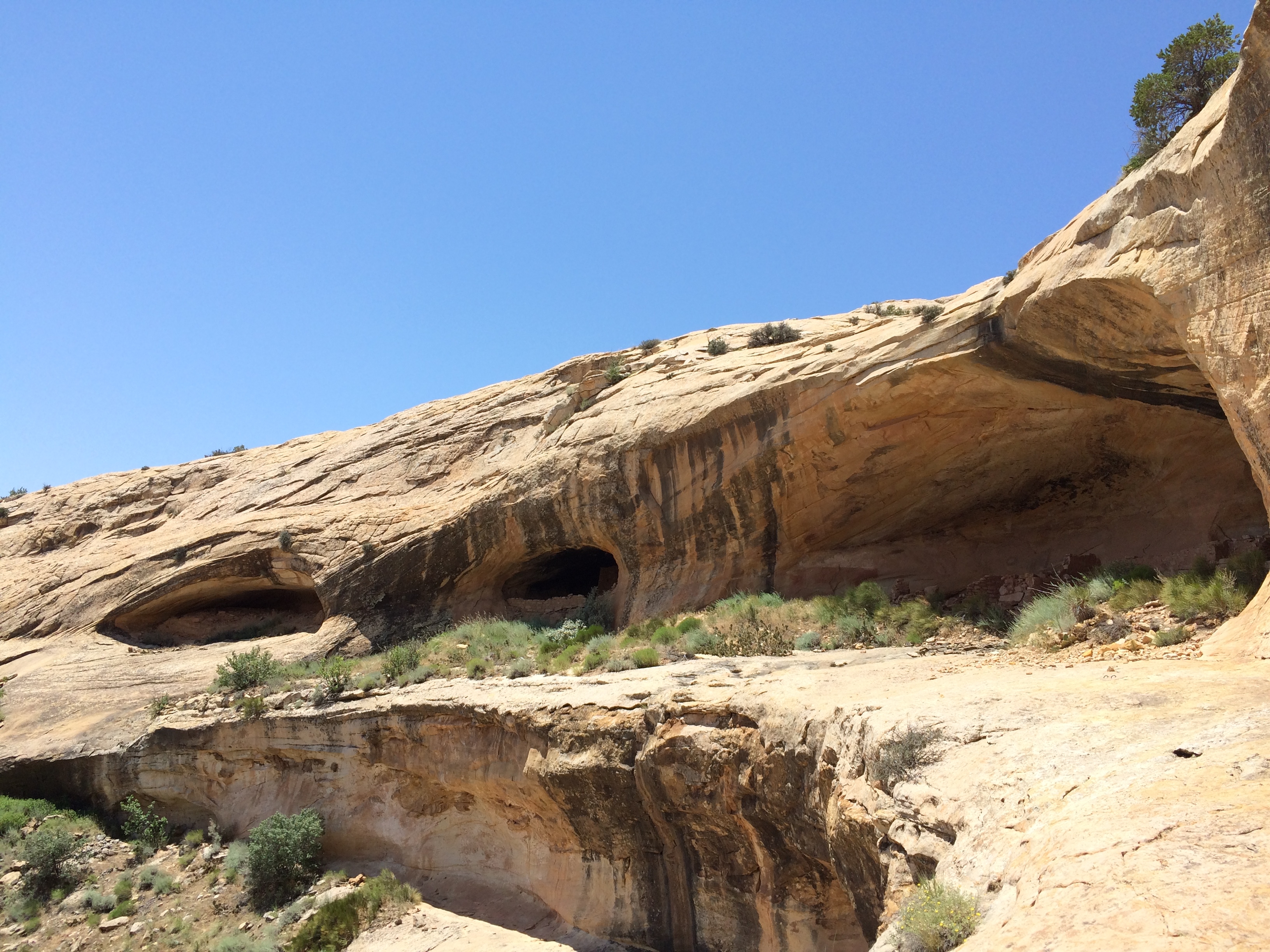
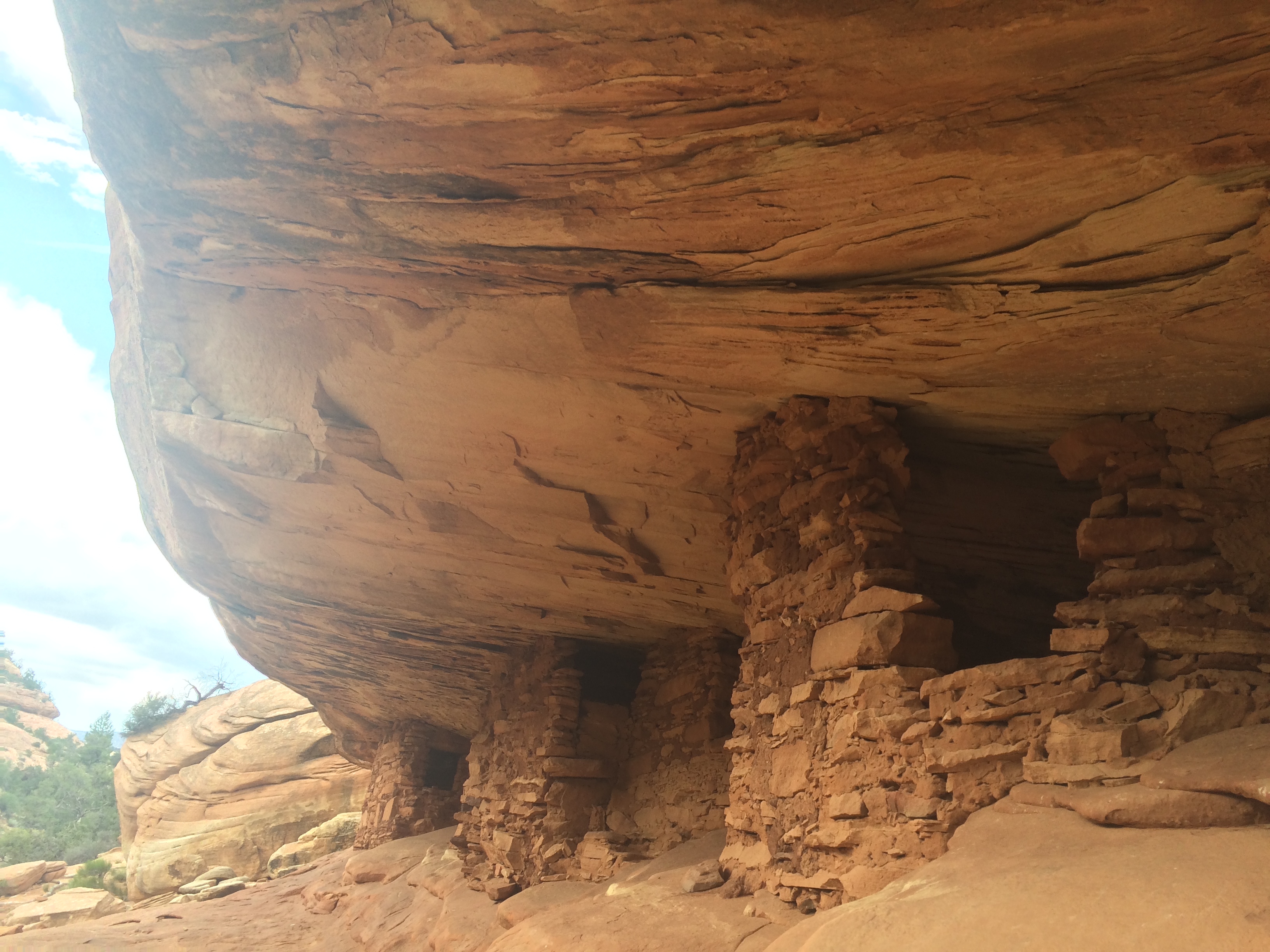
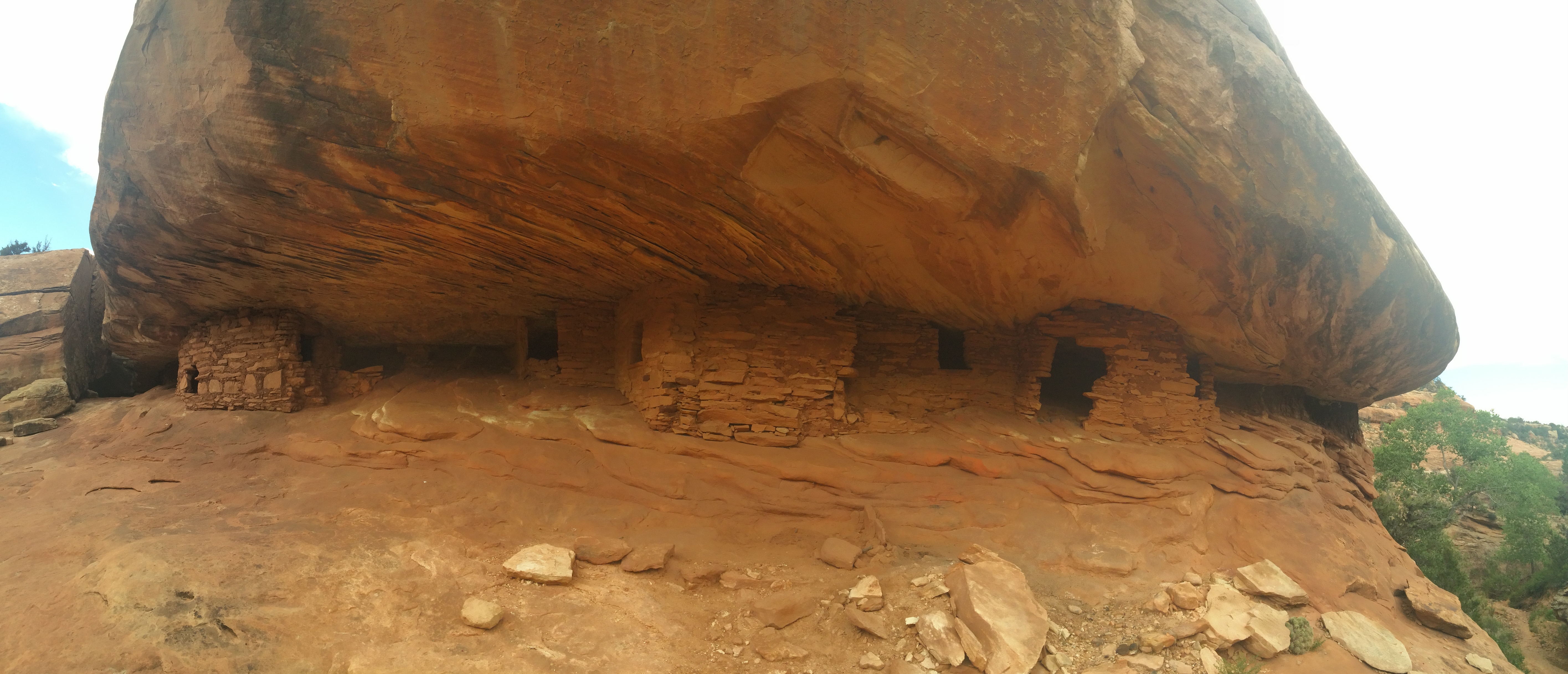
Stopped at some Anasazi Native America ruins that were on the route. The first were the Butler Wash ruins and were about a half mile hike from the parking area.
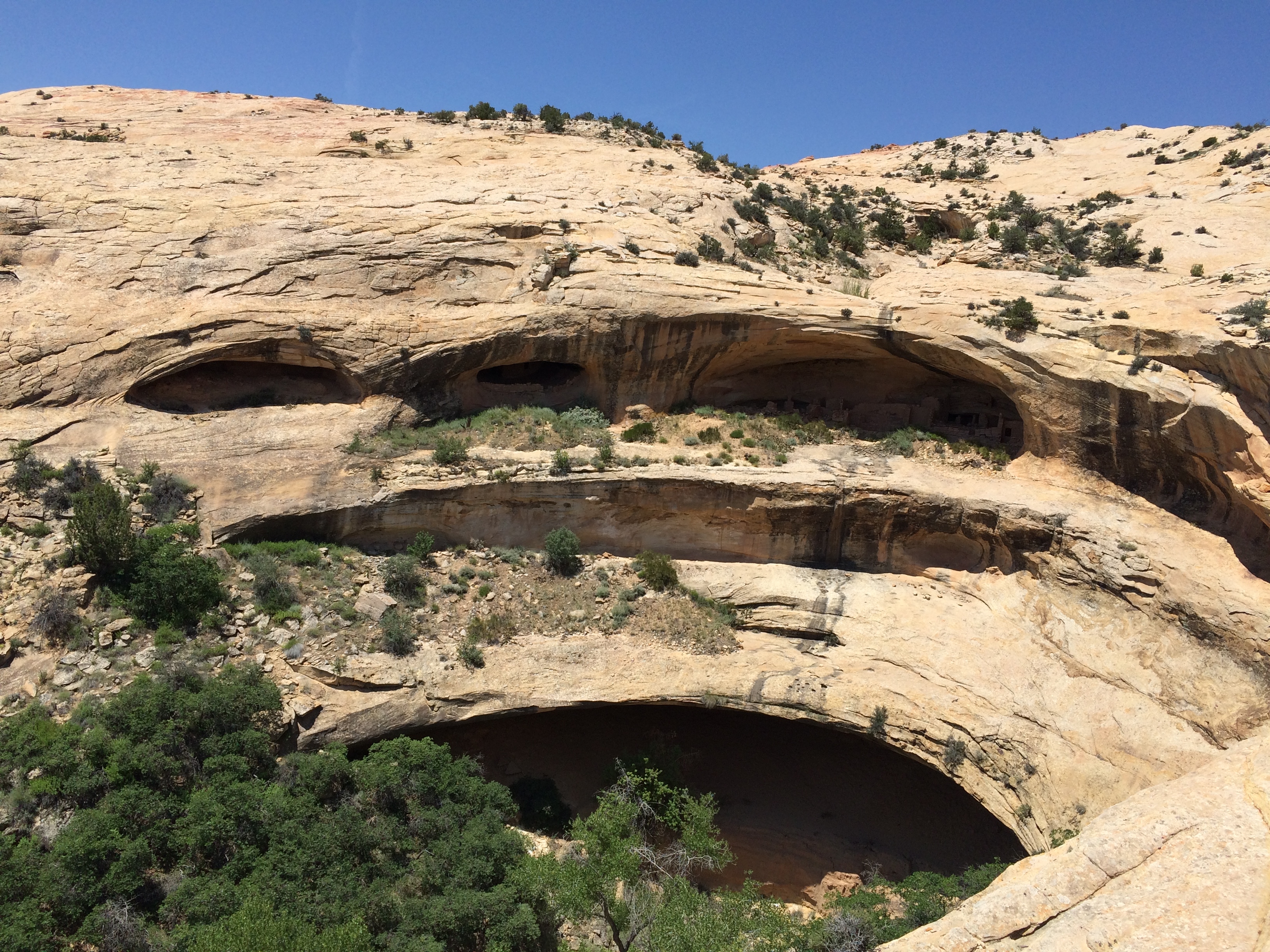
Since the ruins are on BLM land you can actually walk right up to them. It was pretty tough to get over to these, but I managed to scale down the rock from above.
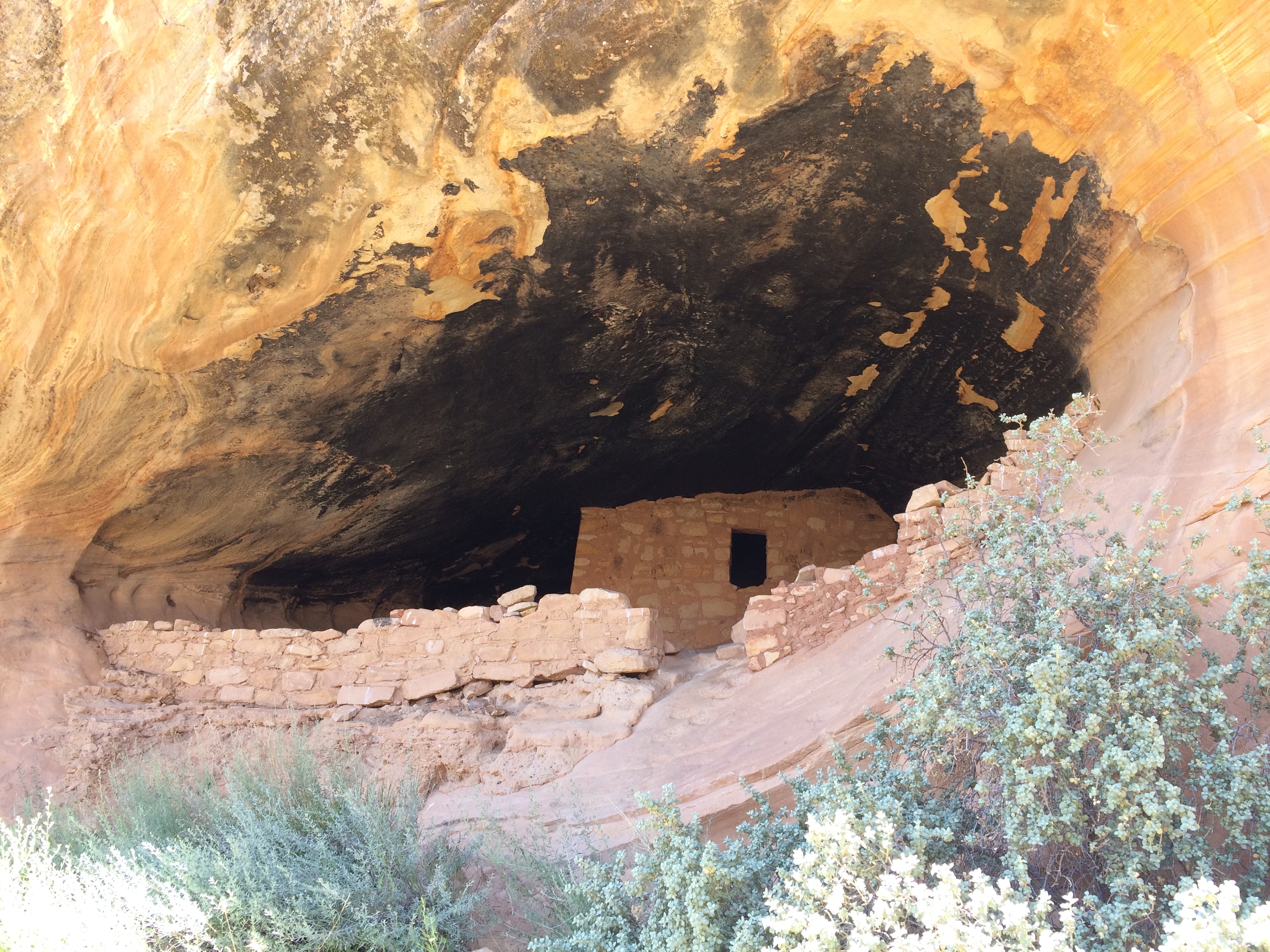
There’s always a certain humbling feeling when I’m around these ruins. It’s crazy to imagine the people living here. We know so little about them except for what we can learn from the things they left behind. No written history or explanation for why they left. Sort of like a whole group of people that have almost been forgotten, lost to time. From what I’ve read, our best guess is that these were ancestral Pueblo people who eventually moved Southeast.
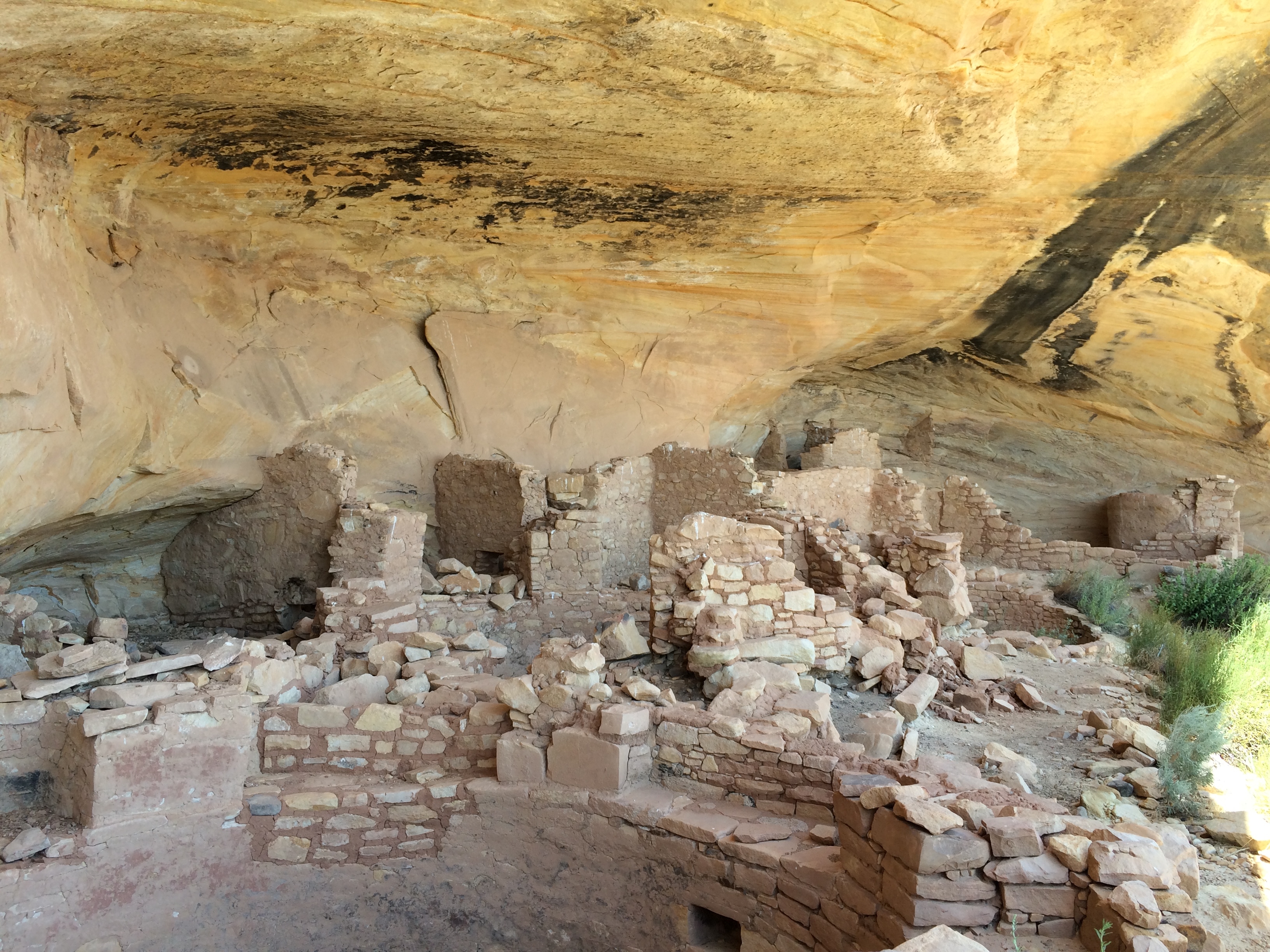
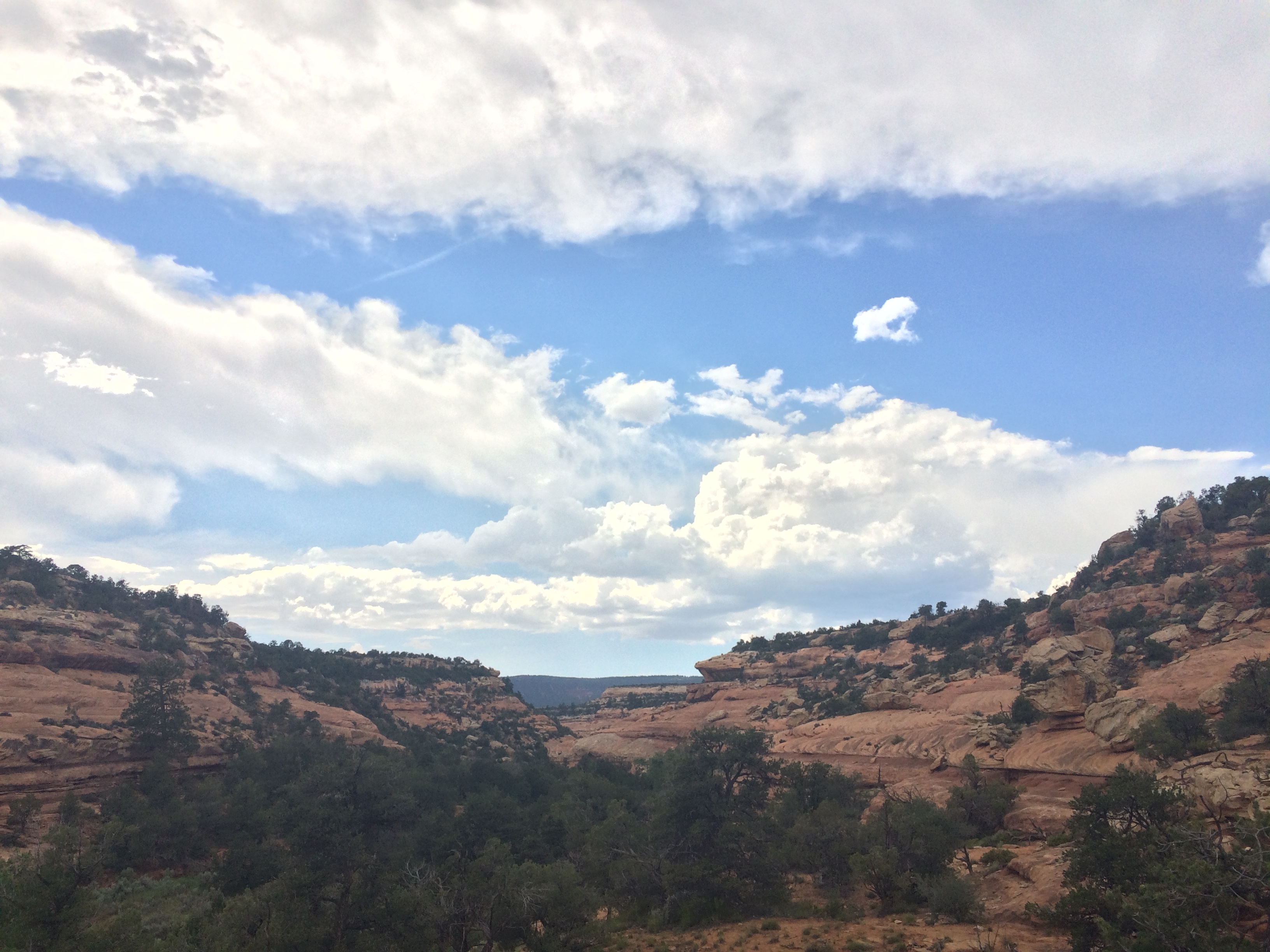
It was already getting pretty hot, so I stopped at the next set of ruins as well to try to find a place to get out the sun for awhile. These ruins were in Mule Canyon. I parked my bike at the trailhead on a dirt road and hiked a mile down the canyon to the ruins. It was pretty shaded since the canyon was fairly deep with some trees on either side.
I was running short on water and I knew I had to get at least Natural Bridges National Monument to refill which was still pretty far away and it was really hot out, so I decided to cut my exploration short and move on. There was a long consistent climb ahead of me that I really under estimated. I was down to one bottle of water and still 20 miles out. I decided to ration and limit myself to a swig every other mile because I wasn’t even 100% sure there was water at Natural Bridges since the map didn’t show it. It took incredible restraint not to slam the rest of my water. It was all I could think about. I started to count my pedal strokes in sets of 20 to try to take my mind off of the thirst, but all I could think about was a tall glass of ice water.
Finally I reached Salvation Knoll Summit and it was pretty much downhill or flat the rest of the way into Natural Bridges. When I got to the Visitor’s Center there was water – thank God. I found a picnic table in the shade and chugged water and ate some food. When my energy was back up I rode down to the campground which was right next to the Visitor’s Center.
I rolled into the campground at the same time as a couple that was just arriving by car. We grabbed the last two spots and I suggested that we consolidate to one in case anyone else showed up. They agreed. Their names were Brianne and David and they were on a 10 day road trip around the West from Cincinnati. Today they came from Denver and stopped at Arches NP. After Natural Bridges they were headed to Monument Valley.
Brianne is a graphic designer and David works in IT, but has a background in construction. They offered up some Captian and Coke, so we hung out having a few drinks talking until about 11. I called it a night, set my alarm for 5 am, and went to sleep in my hammock.