
Mt Elbert Summit Hike – 12.6 miles, 4,813 ft of elevation gain
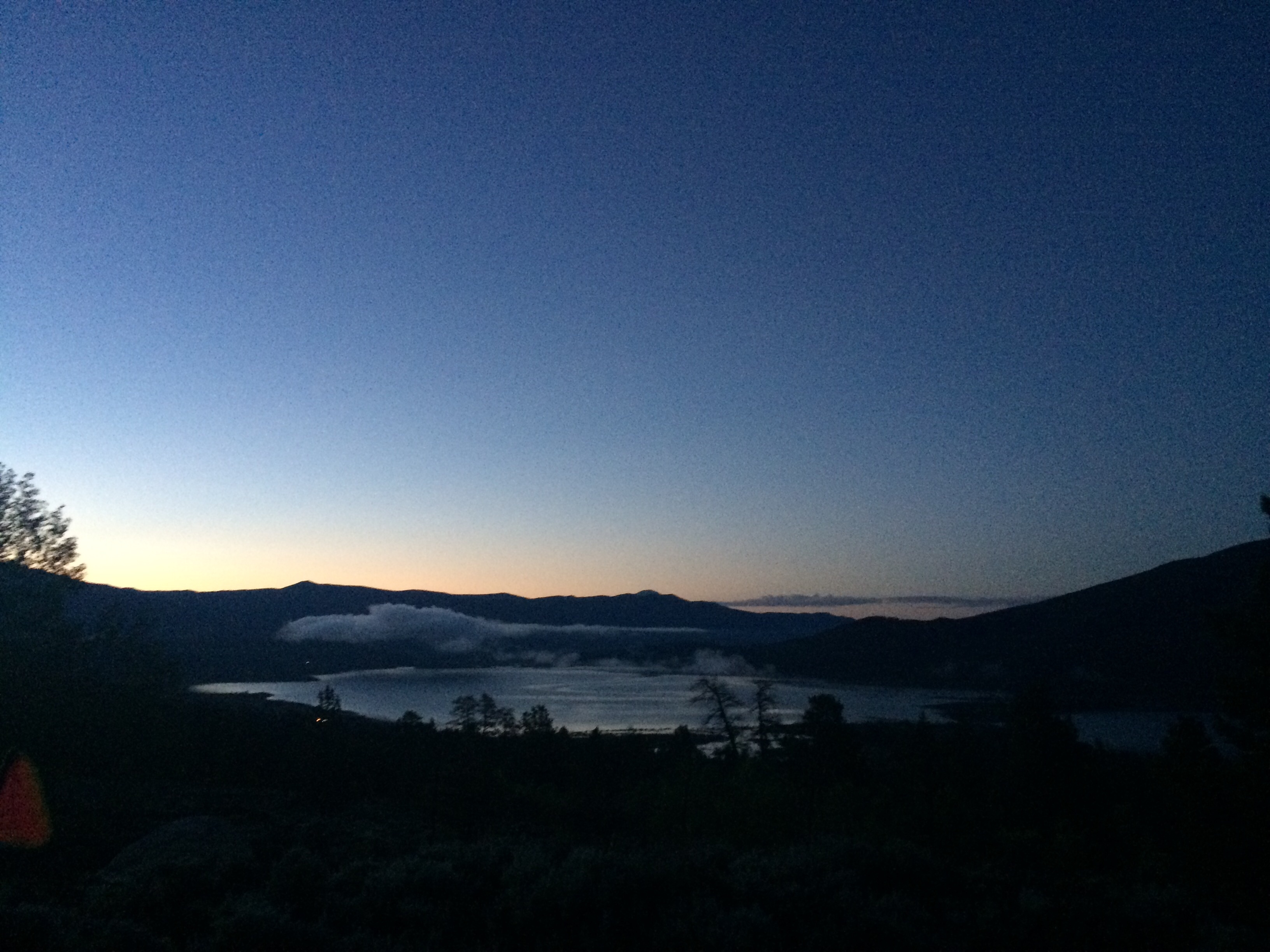
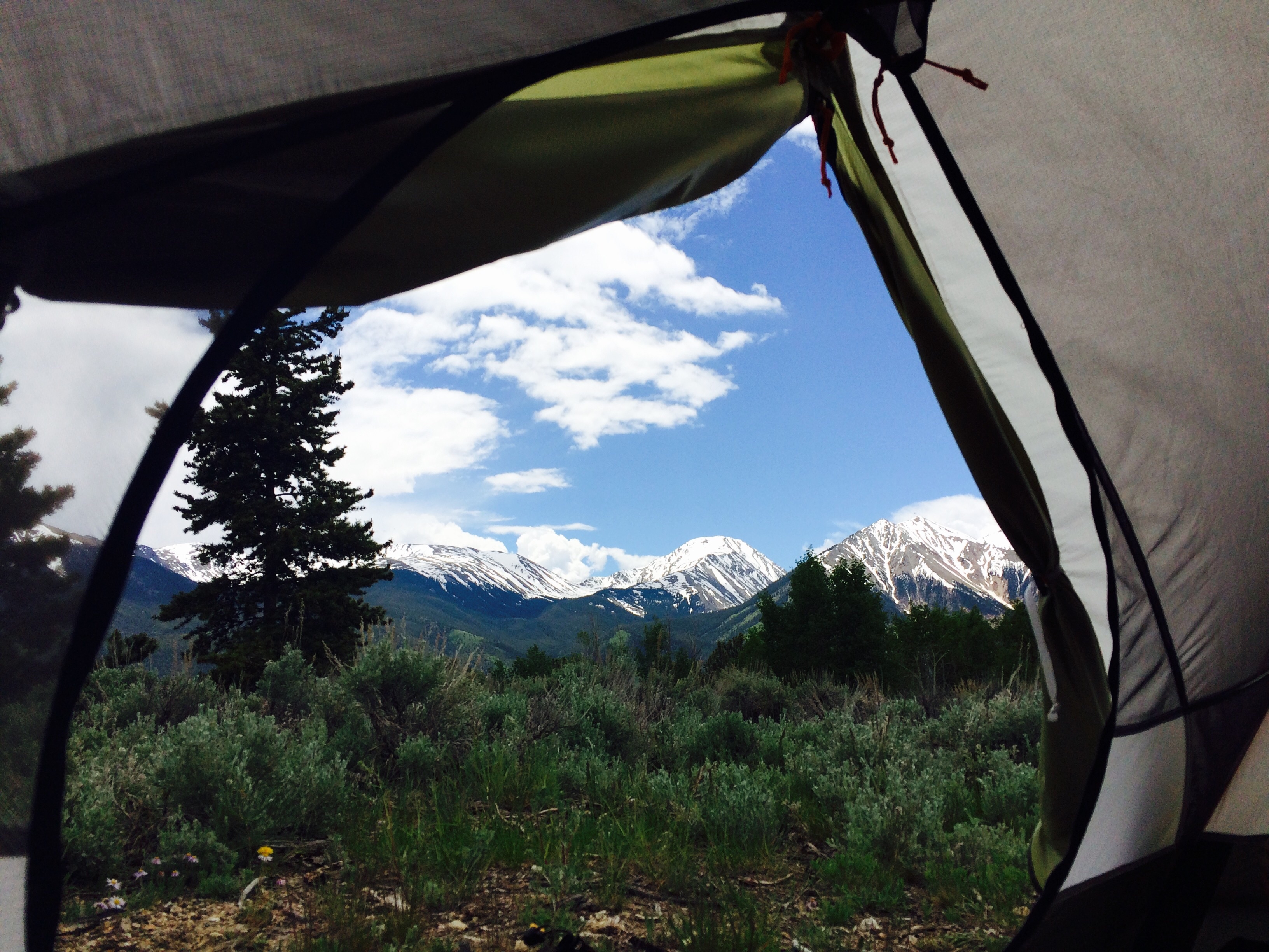
The alarm went off at 445 today. Rolled out of my tent and made some breakfast and coffee while enjoying the view.
I packed one of my front panniers with some food, water, and the first aid kit I brought. I bought a cheap hiking pole to use as a kickstand yesterday, so I got some good dual purposing out of that too!
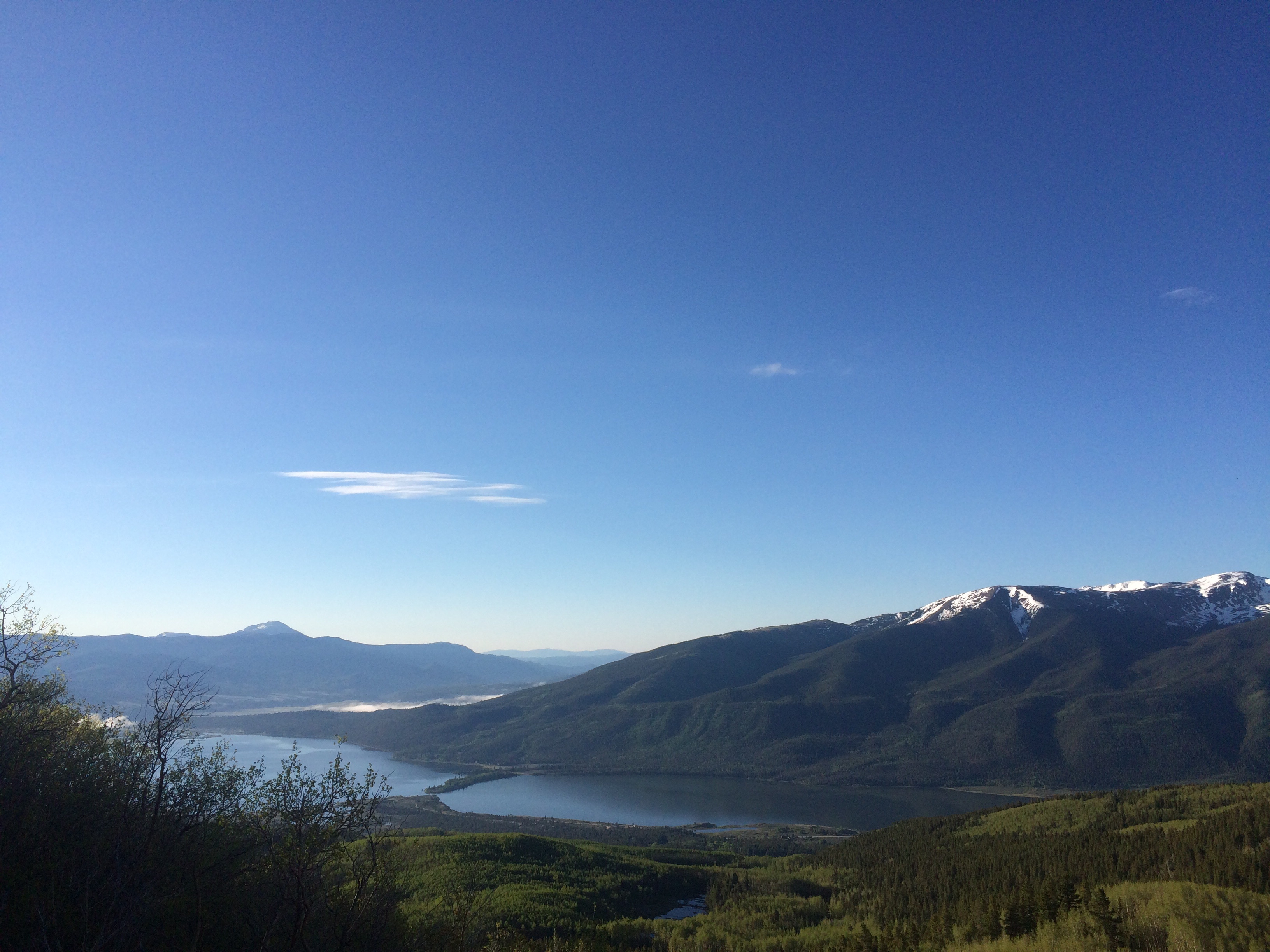
There is an upper and lower trailhead to the South Mt Elbert Trail. A dirt forest road runs up to the upper trailhead, and makes the round trip hike 8 miles shorter. I camped along the forest road since it was free, so I decided to see how far I could bike up it towards the higher trailhead, and then hike the rest.
There was a guy camping in an RV near me who must have been from Germany, because of the flags on the RV and foreign plates. He was getting going right at the same time I was. He was traveling super light. No pack or anything. I wonder how much water he brought.
The cycling up the forest road was pretty difficult. Really steep and it was peppered with large boulders. After maybe a mile and a few hills walked I was already second guessing my decision to attempt biking. There were some cars parked and just past them a stream about foot deep ran over the road. I decided to ditch the bike there.
There was no way over the stream or even any rocks to step on, so I just had to walk right through it. It was ice-cold. I continued up the dirt forest road for another mile or so until I reached the trailhead.
From there it was a 1/4 of a mile hike on the Colorado / Continental Divide Trail to reach the split off to Mt Elbert Summit. Then it was just under 4 miles to the top.
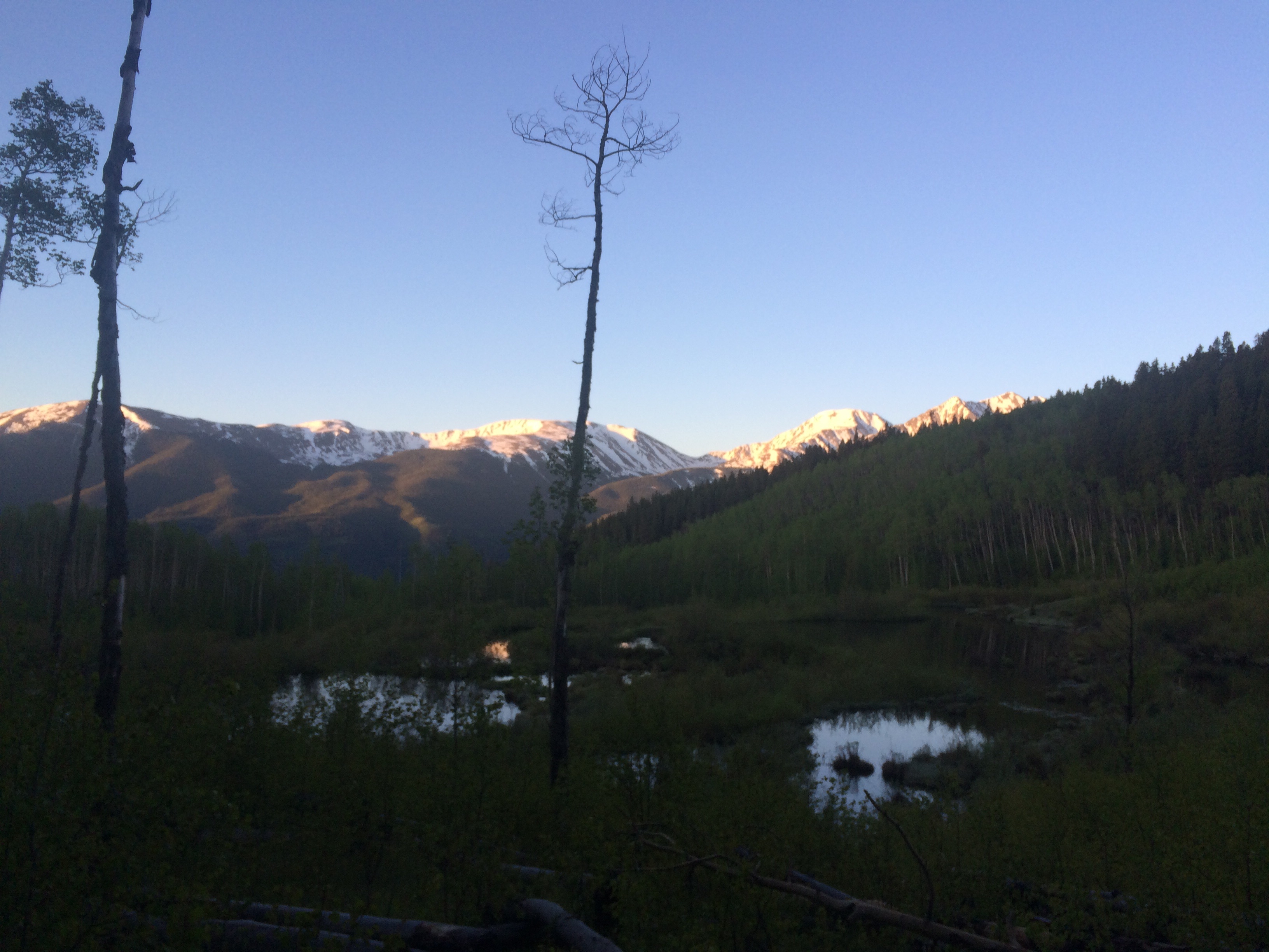
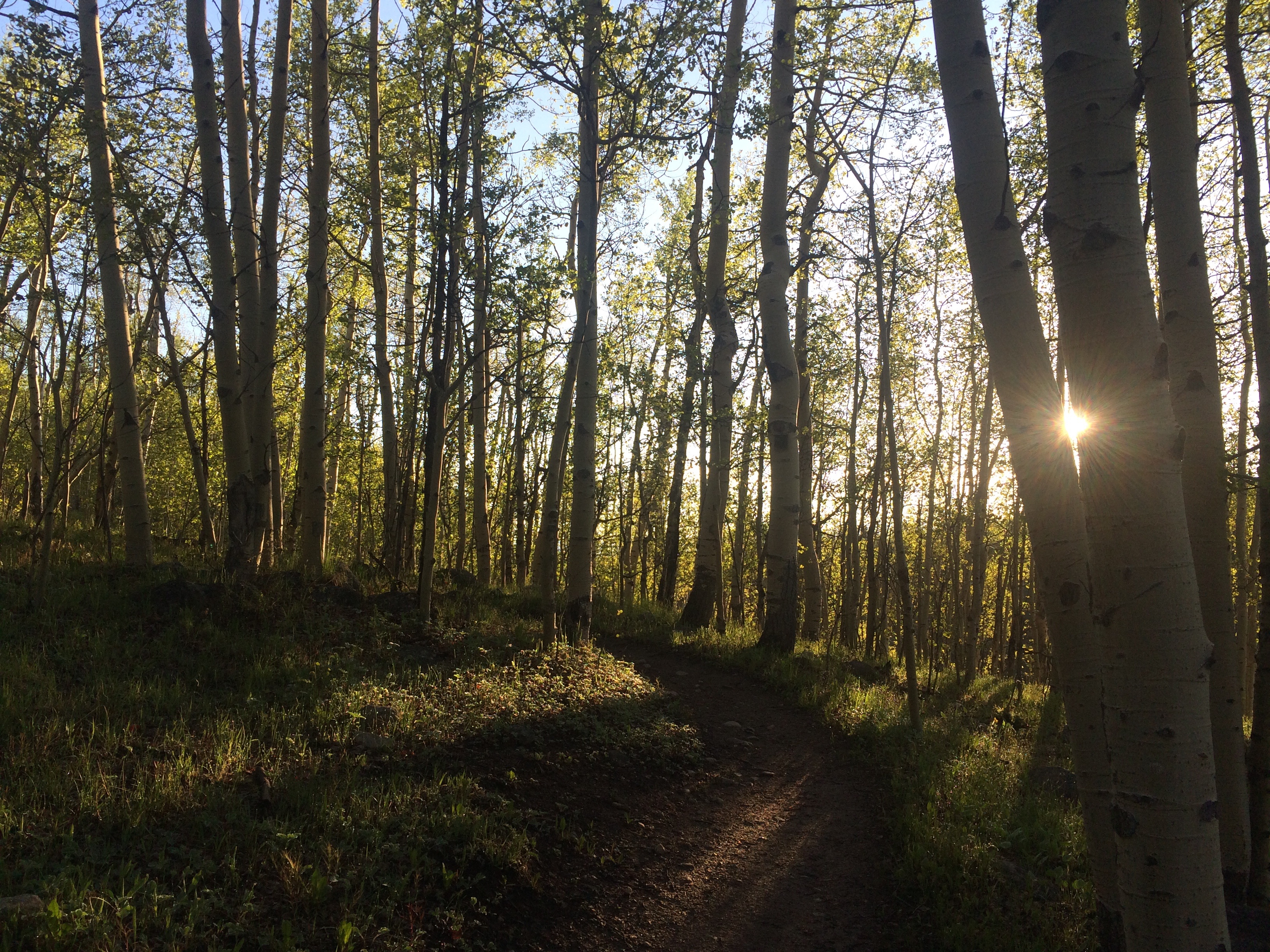
The trail started out in an aspen forest. It was really cool to watch the sun rise through the trees.
Eventually, it started ascending steeply up some switchbacks, and the aspen turned to a coniferous tree like a spruce or pine. Some snow also started to appear on and near the trail. As the trees started to thin out the views were amazing.
All the way to the right hiding behind the tree is Mount Elbert.
Again, Mount Elbert on the right.
If you look closely you can see a couple other people on the face of the second hump in the picture below.
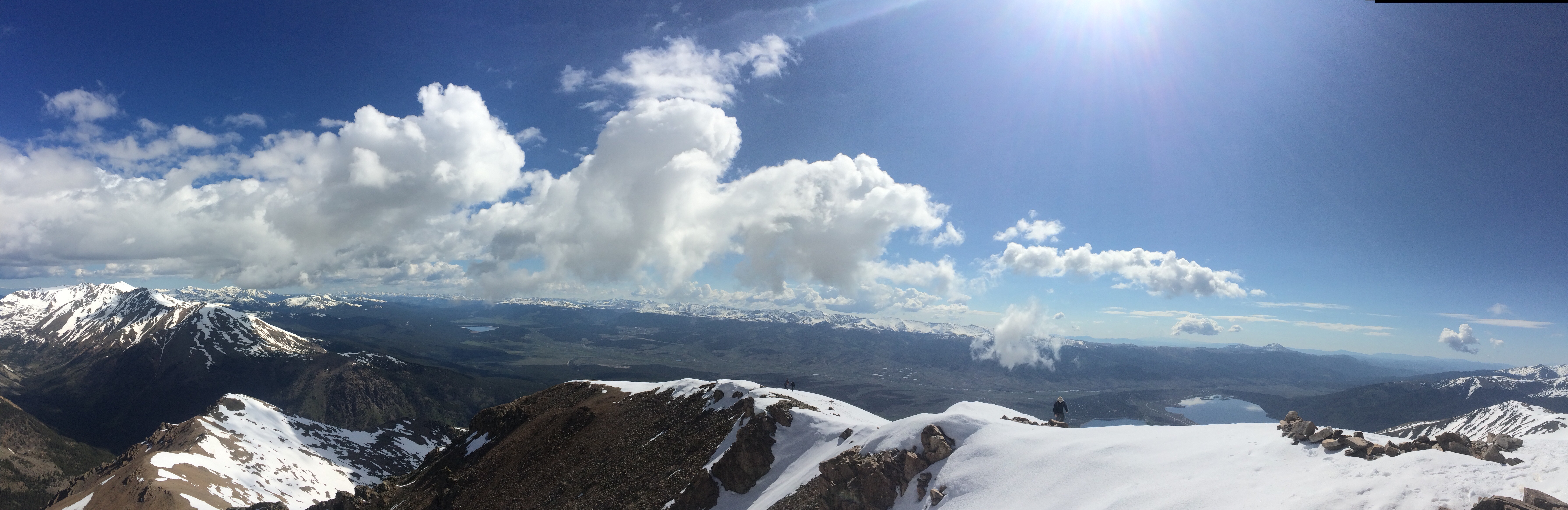
The top portion of the hike was super steep and snow packed. It was somewhat tricky to stay on top of the snow and not post hole. Also the sun reflecting off of the snow was super hot. Several times I made it over what I though might be the top and there was another ridge ahead.
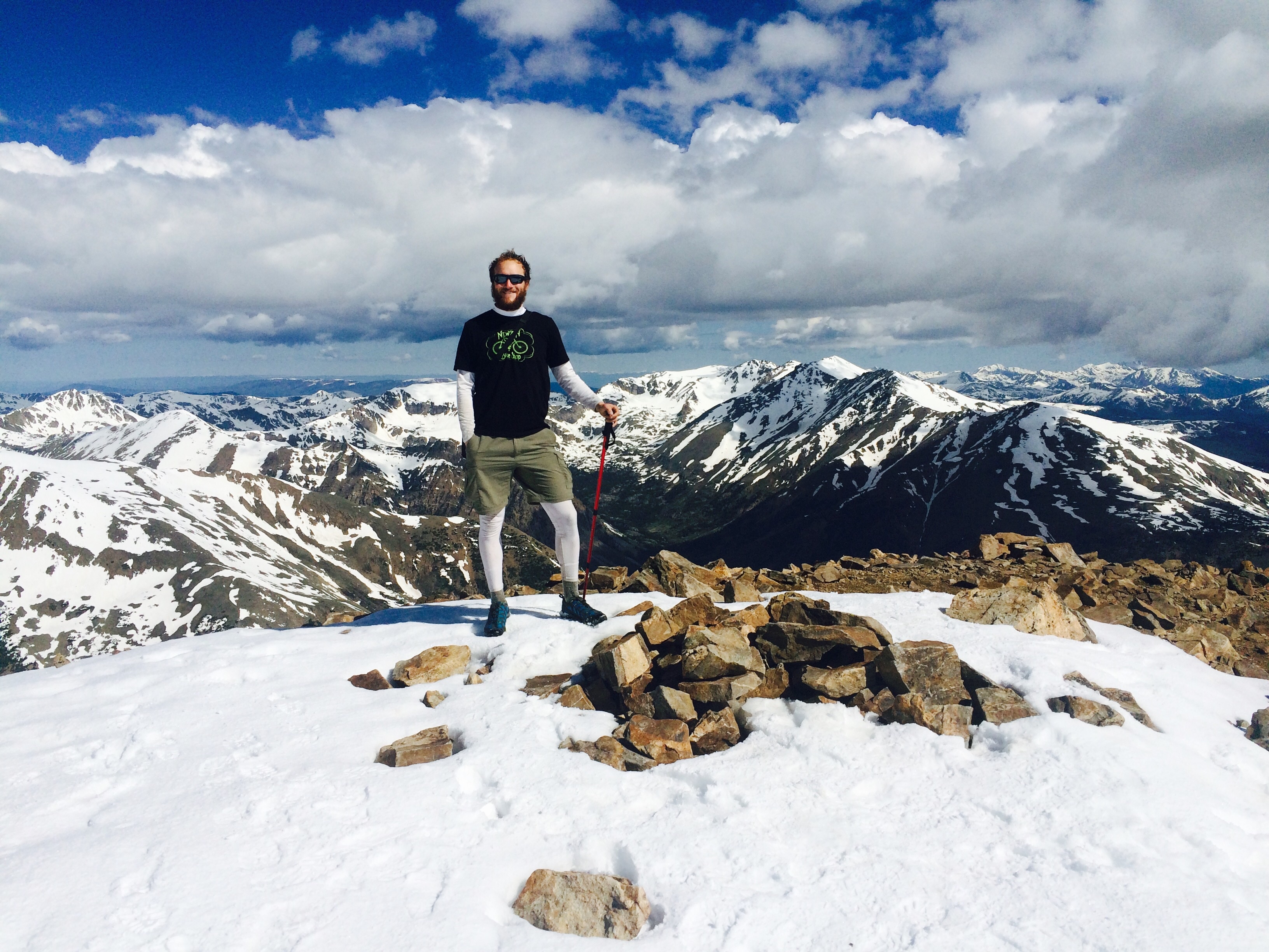
I was relieved to make it to the summit at around 10. The weather was calm and there were a few other people up there, so I asked someone to take a photo for me. His name was Mike and he was working on state high points too! This was number 10 for him.
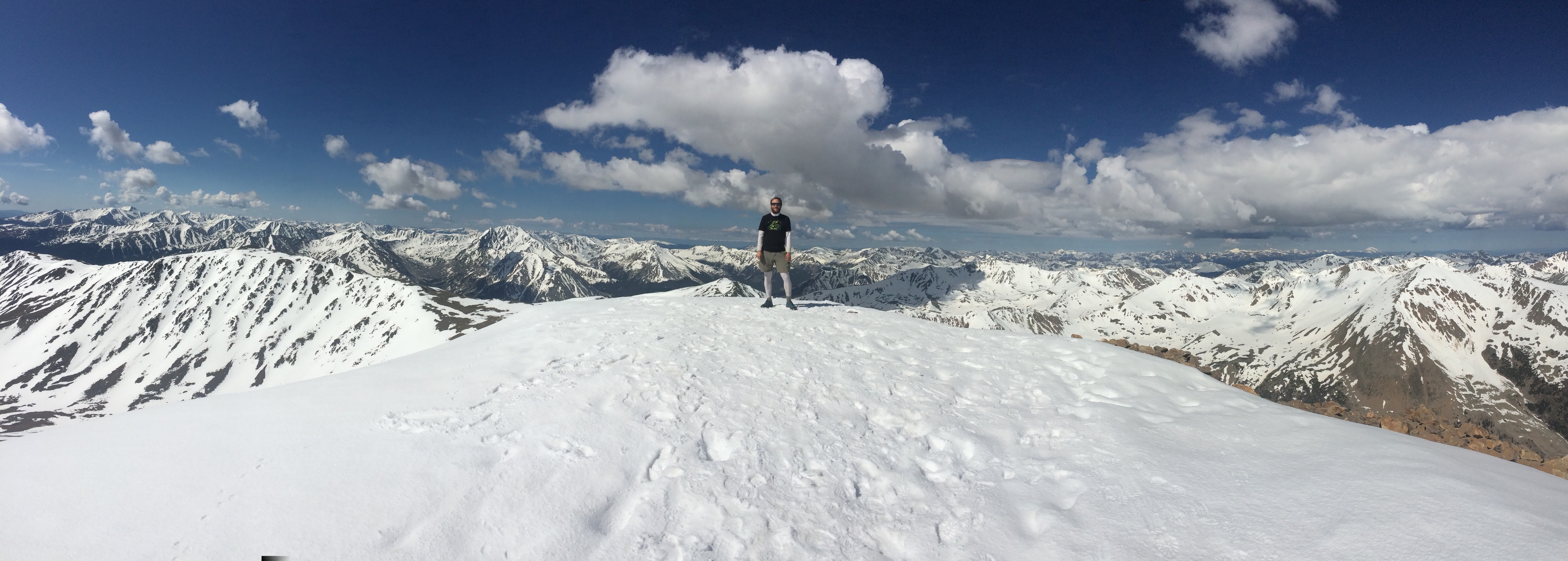
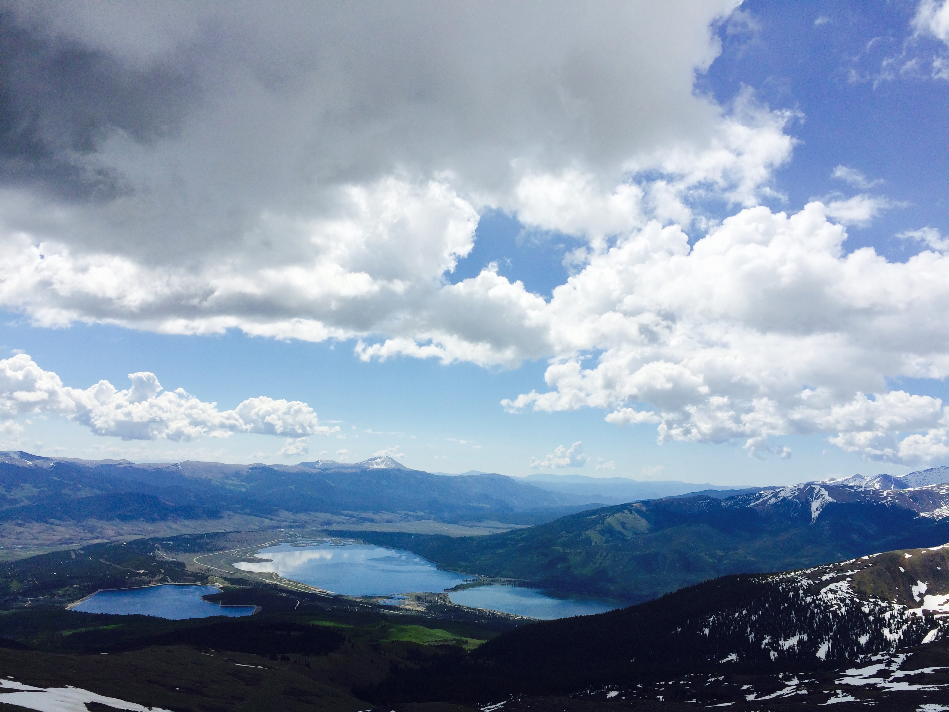
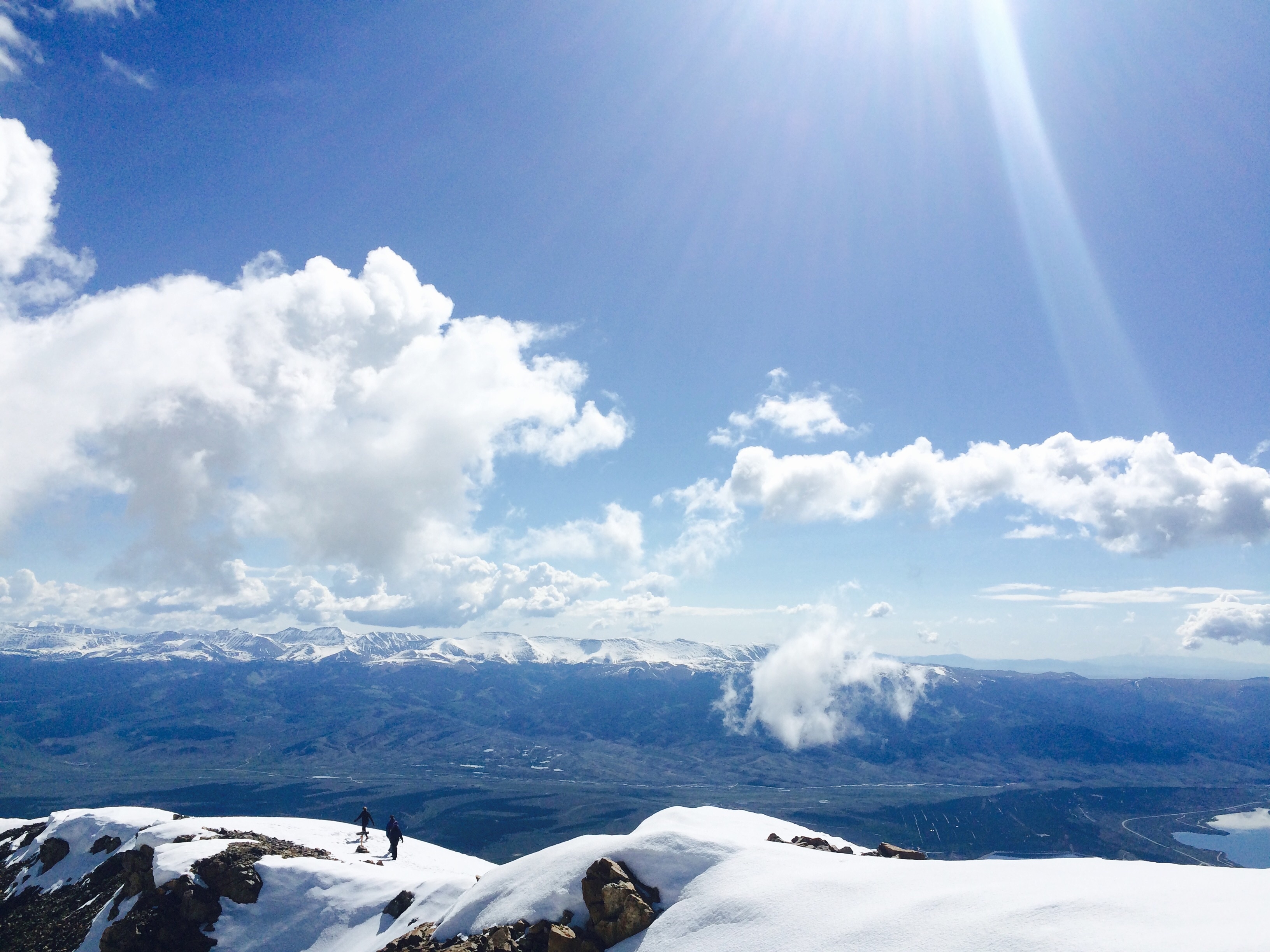
The incredible vistas in every direction were stunning.
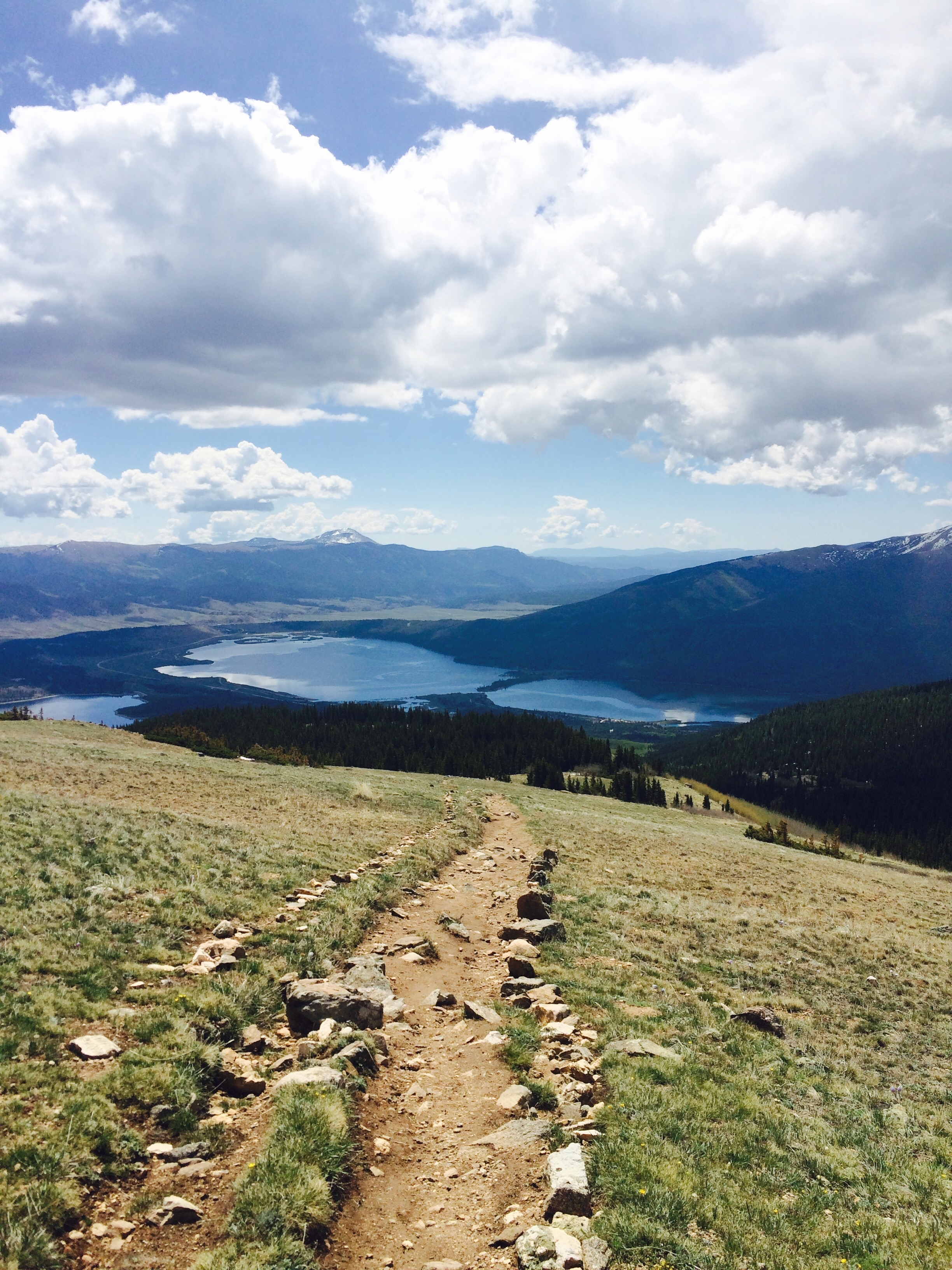
I was off the summit by 11 and the hike out went fairly quick. It was getting pretty hot and I ran out of water about 3 or 4 miles from my camp.
When I finally got back to my camp site I went down to the campground and filled up my water bottles. Now I’m just sitting in my tent, drinking coffee, eating food, and trying to decide whether or not to stay another night or pack up and start the ride back down to Salida. Not bad for a Monday!
Wow! Great job Matt!! Love following your journey. Beautiful pictures!
Awesome! Brings back memories: my wife and I hiked Mt. Elbert on our honeymoon. I always wondered what it would be like with some snow… sweet!