
Farmington, MO to Ellington, MO – 72 miles
Yesterday I was up by 645 looking forward to an early start after taking a rest day. Brandon made a bunch of oatmeal with bananas and blueberries for everyone. Great pre-ride meal. Waited the rain out until about 9, so we didn’t get as early as start as we would have liked. Brandon stayed back for a while because he didn’t sleep well the night before due to allergies. He’s traveling light, so he can keep a much faster pace than us fully loaded folks.
Dries, Julia, Max, and I rode about 20 miles from Farmington to Pilot Knob together.
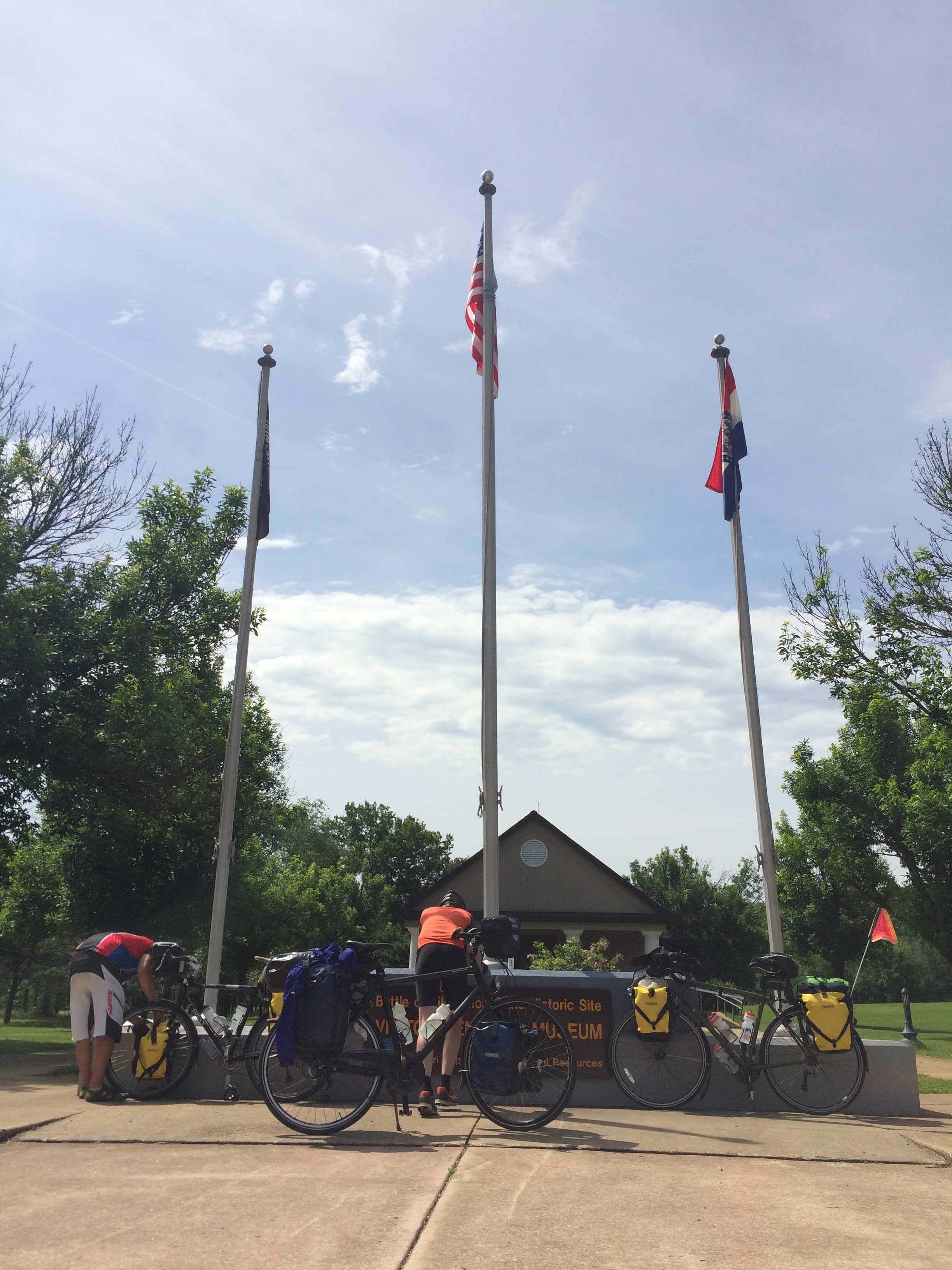
We stopped for a quick rest at a Union fort from the Civil War. Apparently there was a battle here as well called the Battle of Fort Davidson. The Union forces were out numbered by more than ten-to-one, but kept the Confederates at bay. Eventually, the Union retreated, but not before severely weakening the Confederate forces and ending their goal of taking St. Louis.
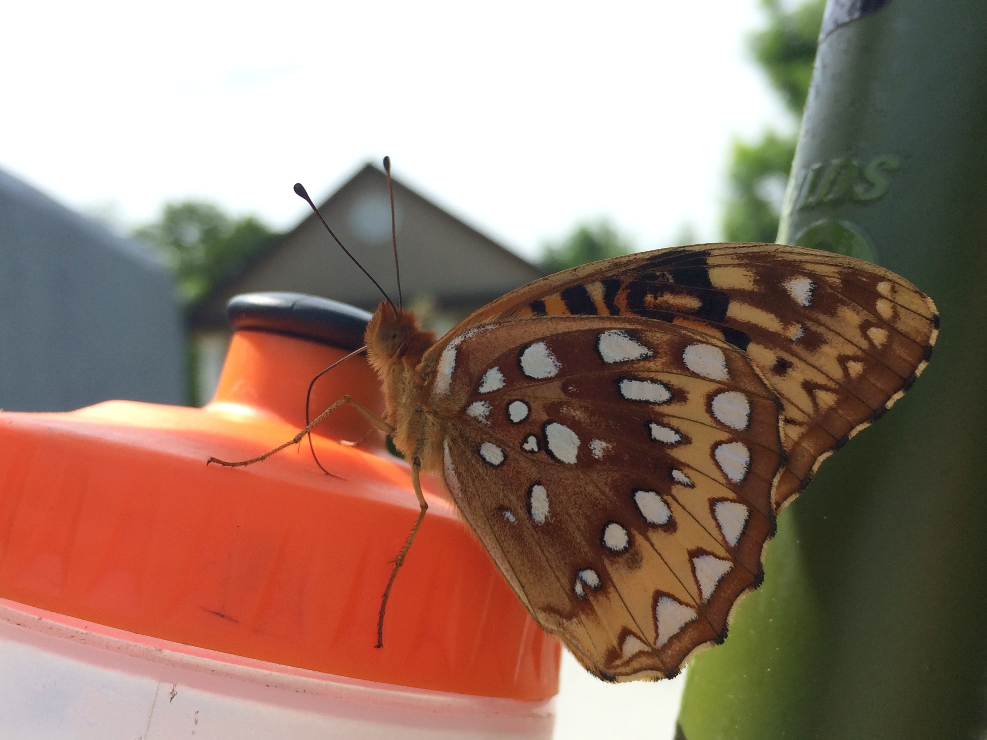
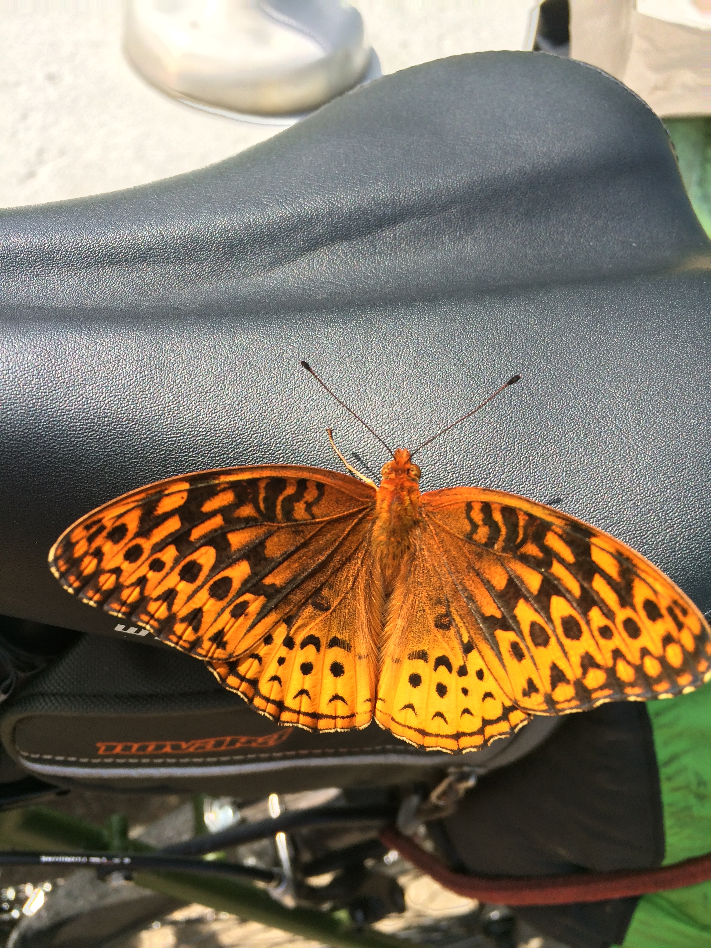
This butterfly was super interested in my bike while we were stopped.
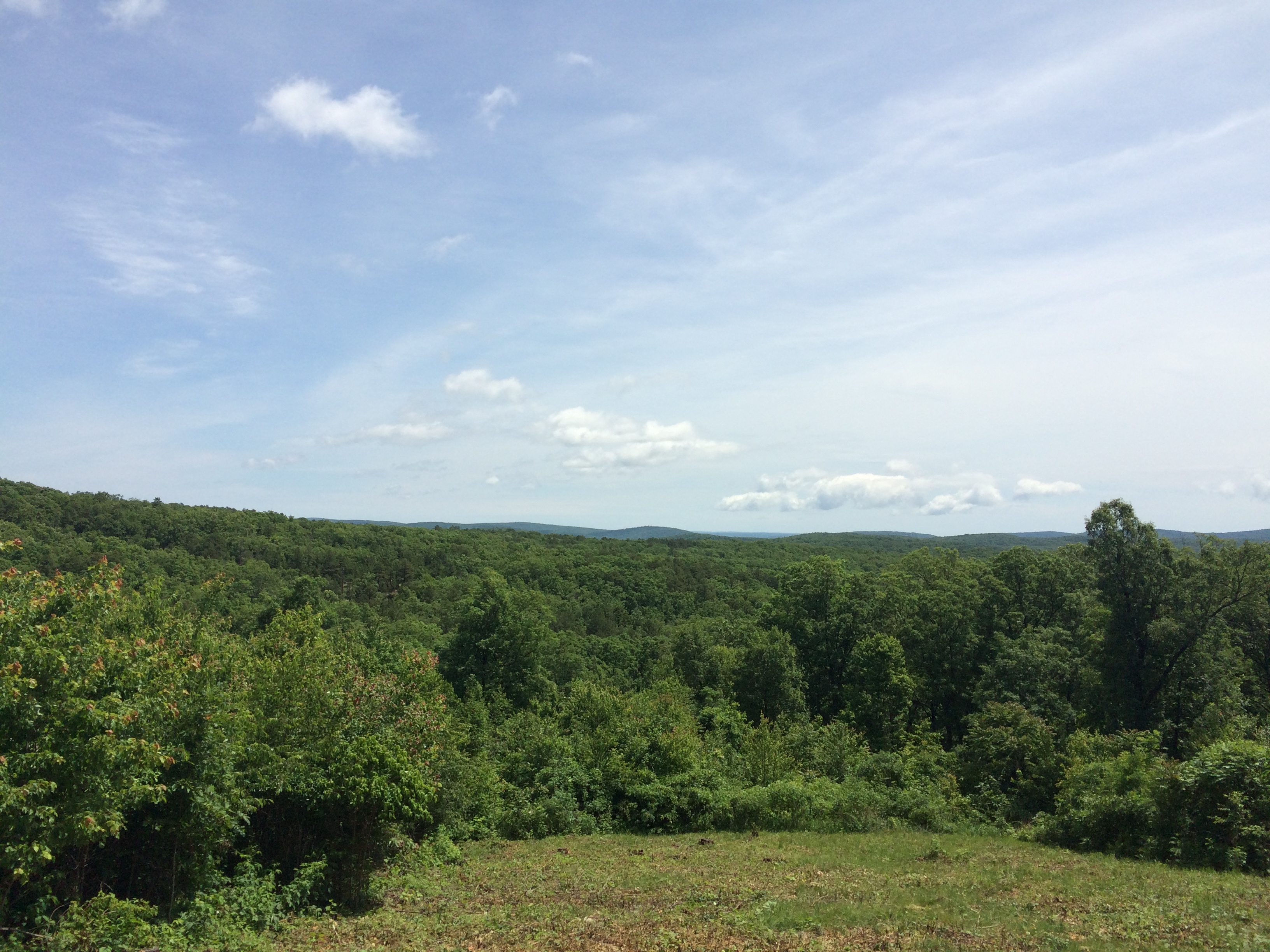
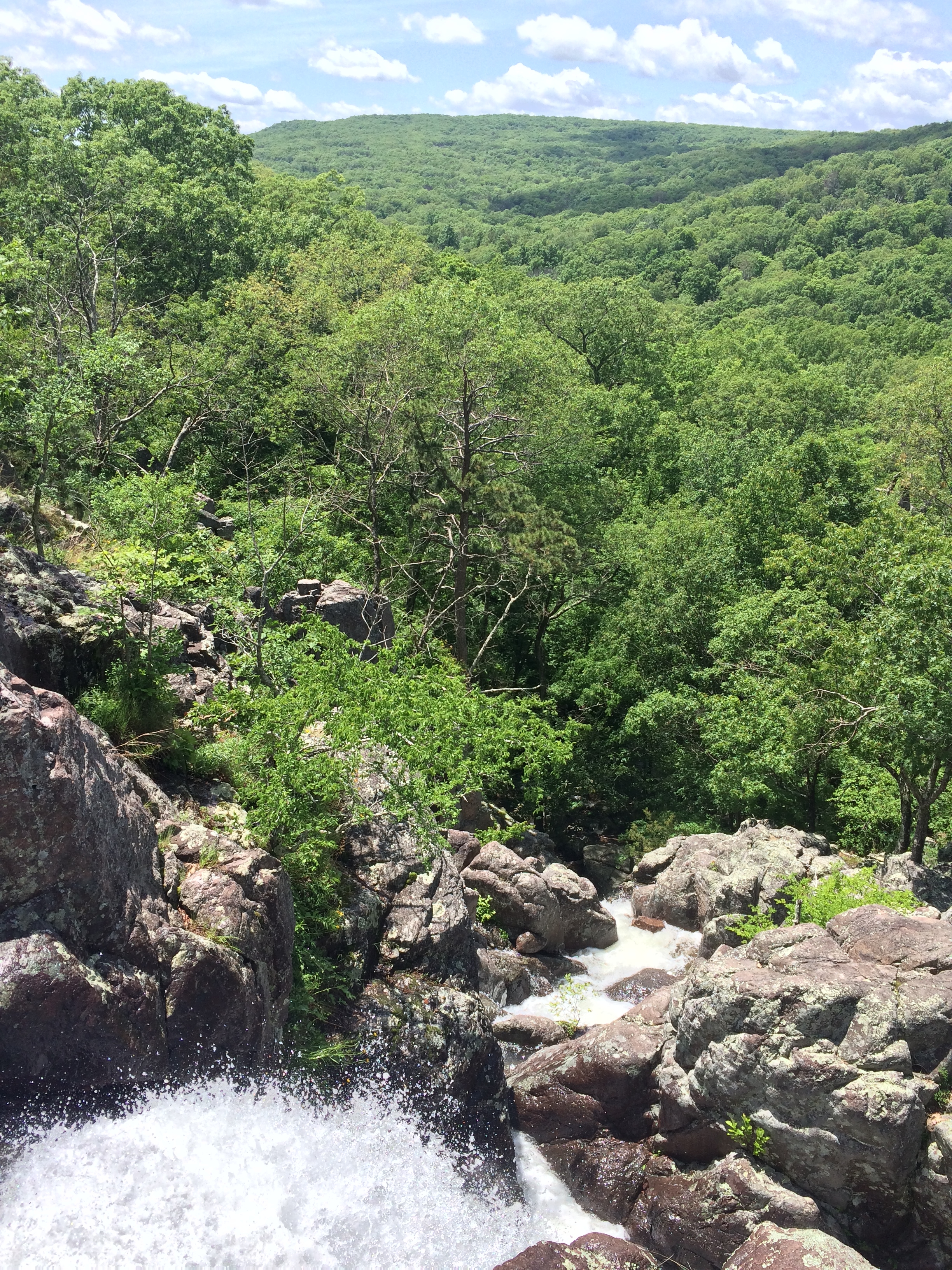
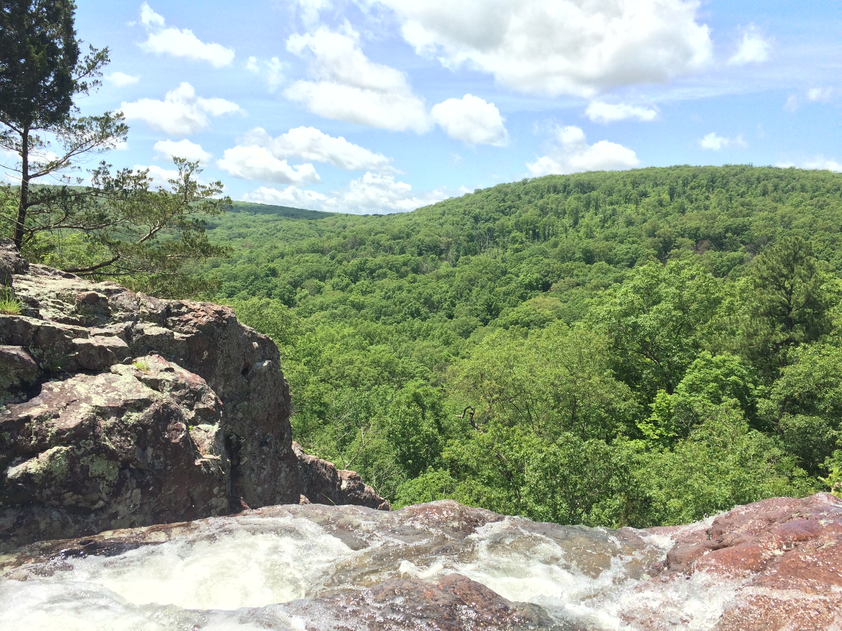
After Pilot Knob I split off from Dries, Max, and Julia to do Missouri’s high point, Taum Sauk. It goes without saying that there was a good deal of climbing to get to the top. Mostly uphill though, not the continuous up and down that the Ozarks seem to be known for. I was rewarded with some fantastic views throughout the climb.
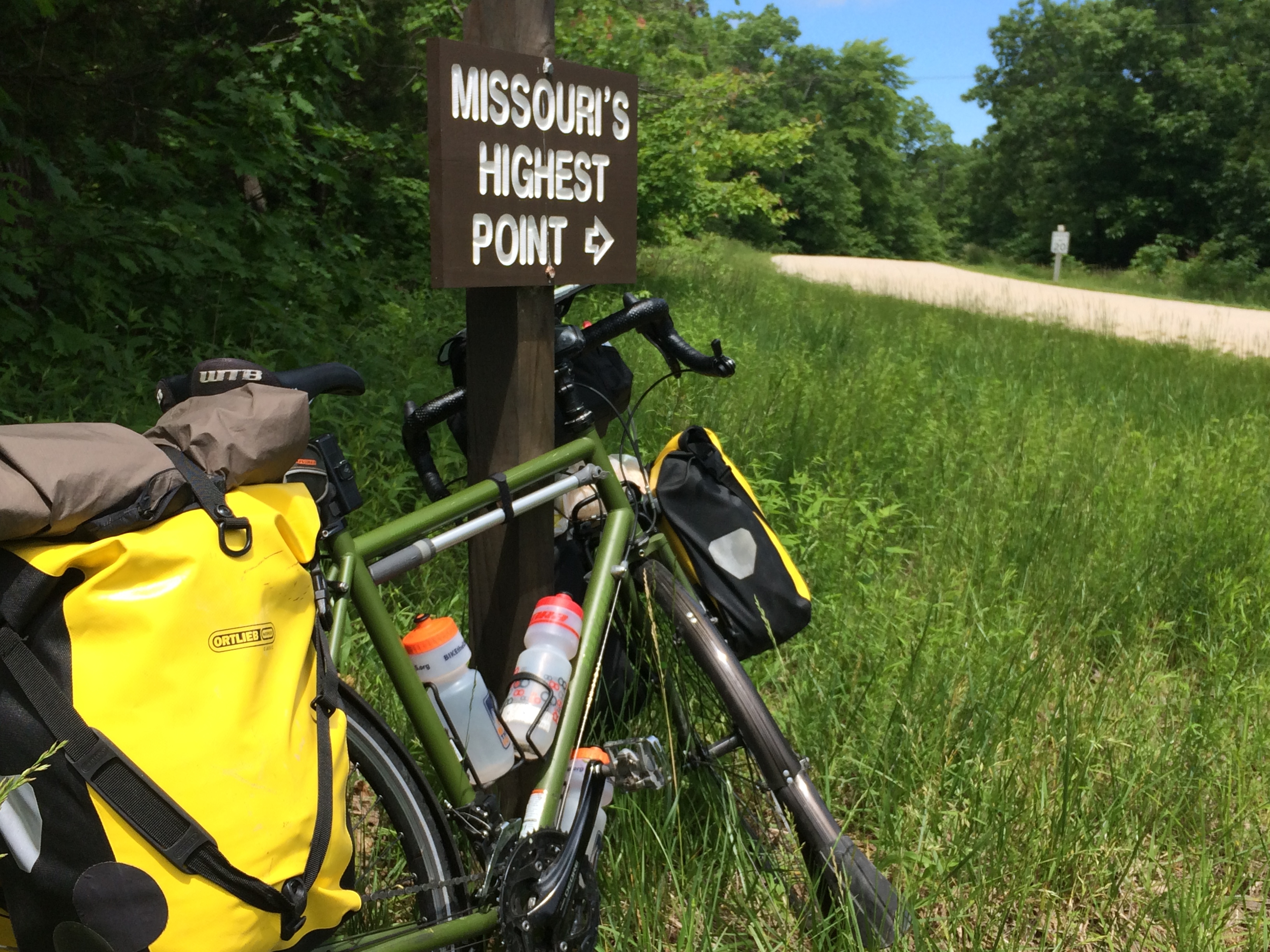
Near the top there was about a mile of gravel to finish off the summit. At the end of the road there was a lookout with more good views and a board labelling the various peaks.
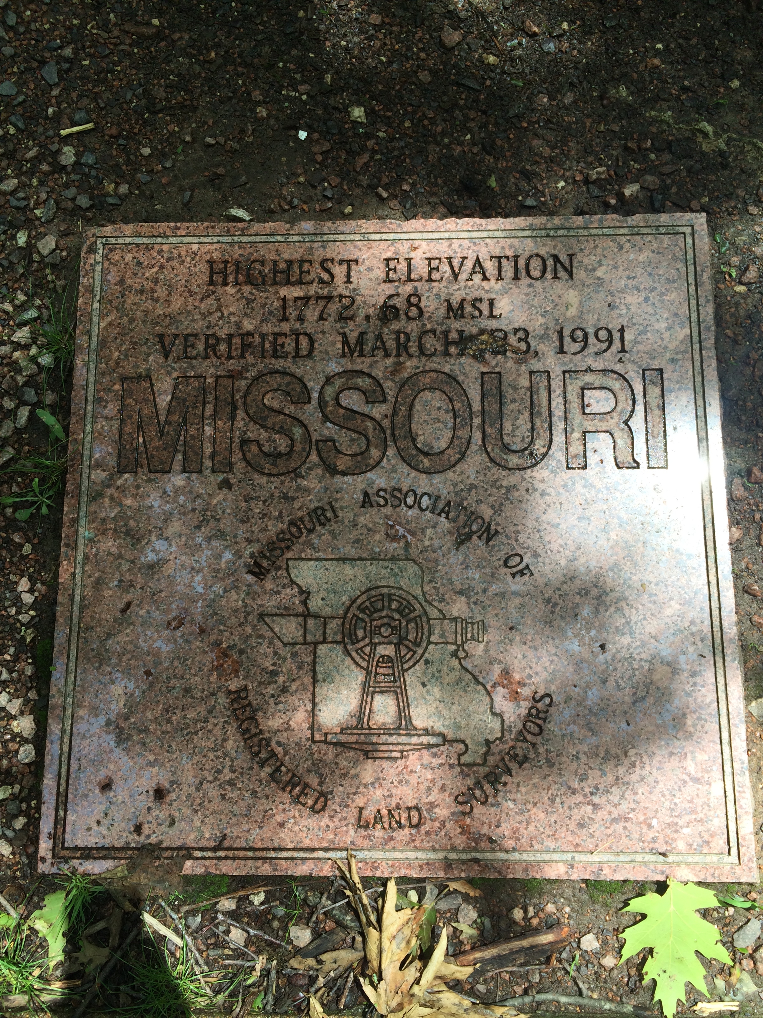
I hiked out to find the high point. It’s forested on top of the mountain, so the actual high point is in the middle of the woods with no views. Found a plaque indicating the elevation and declaring the high point, but could find any USGS markers. Wandered around for probably about 30 minutes looking for them before I finally gave up.
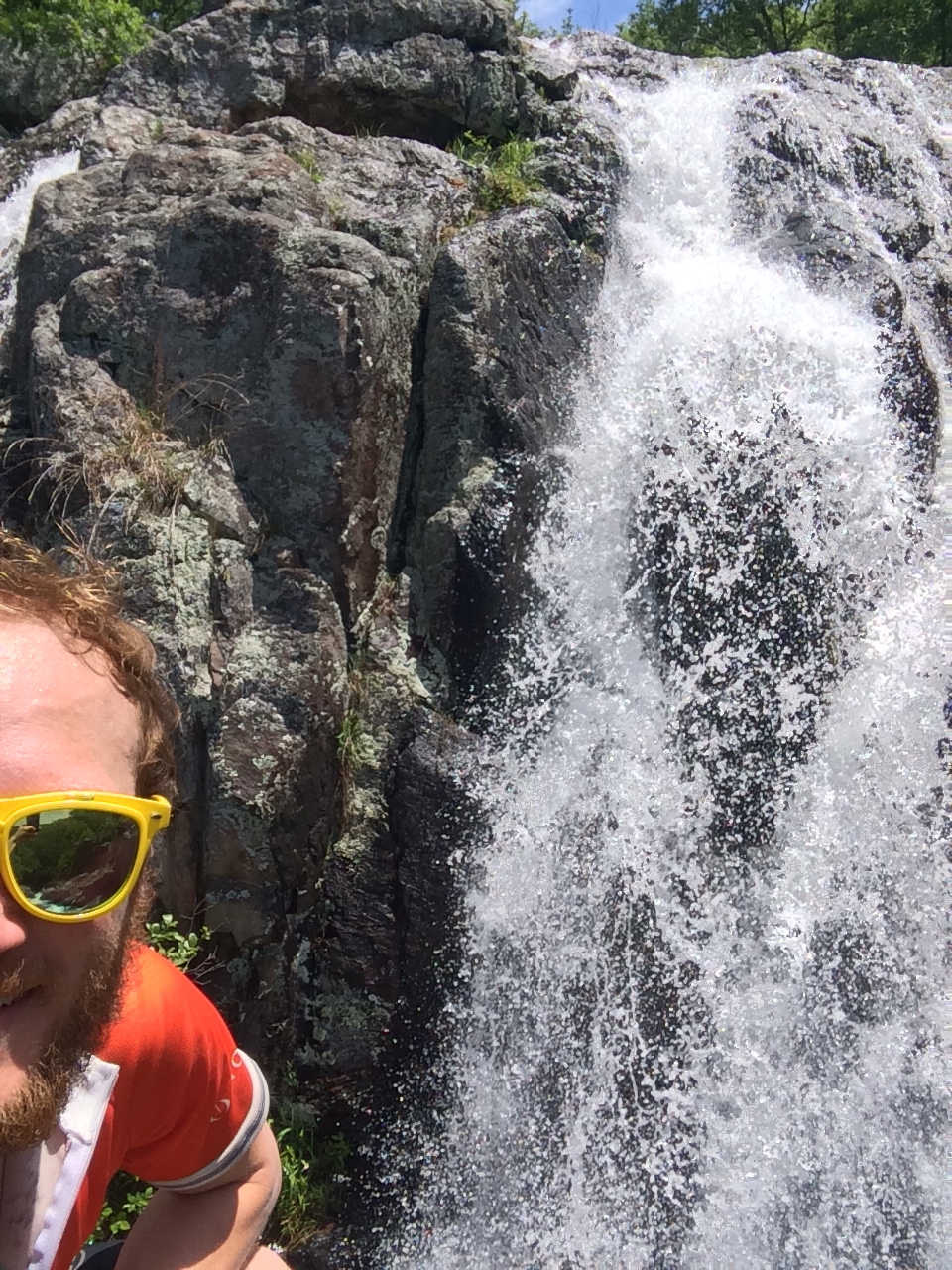
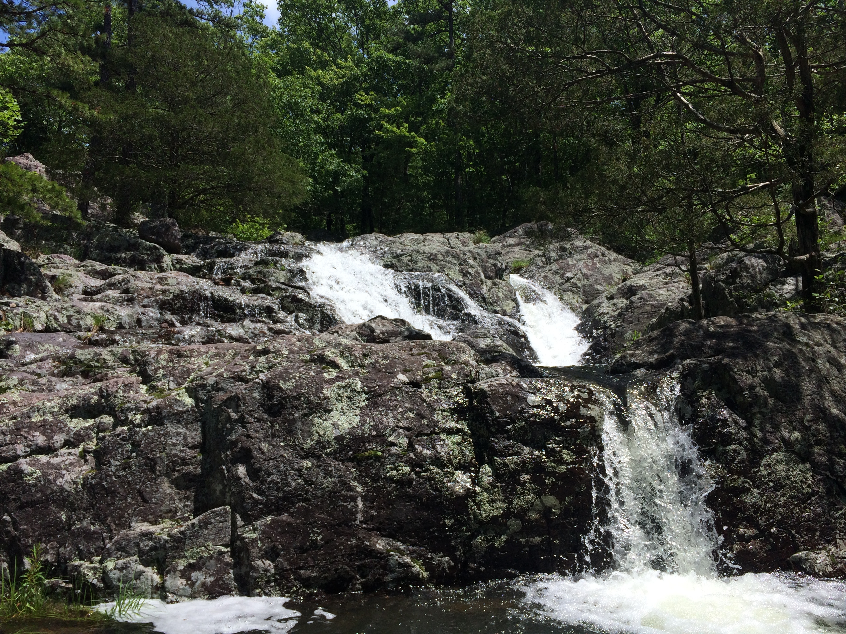
After the high point I did a 3 mile loop hike to check out Mina Sauk Falls, the tallest waterfall in Missouri. It probably ended up being closer to 4 or 5 miles because I kept losing the trail since it was really rocky and hard to follow at times.
The falls were really cool. It was scorching out by the time I got there and decided to take my shoes off and waded around in the water for a while – really refreshing!
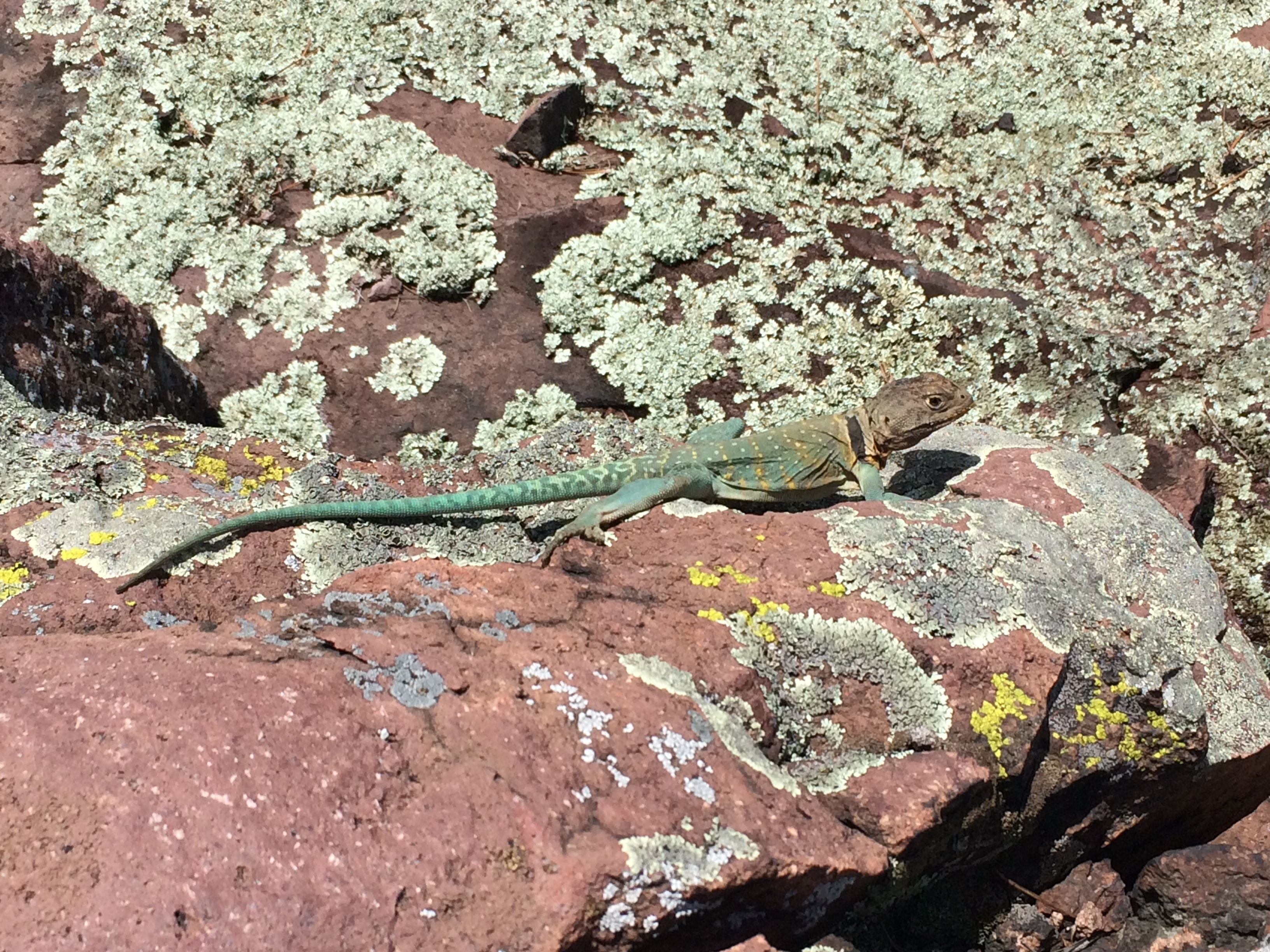
On the hike out I saw this guy. He was probably around 7 – 10 inches long.
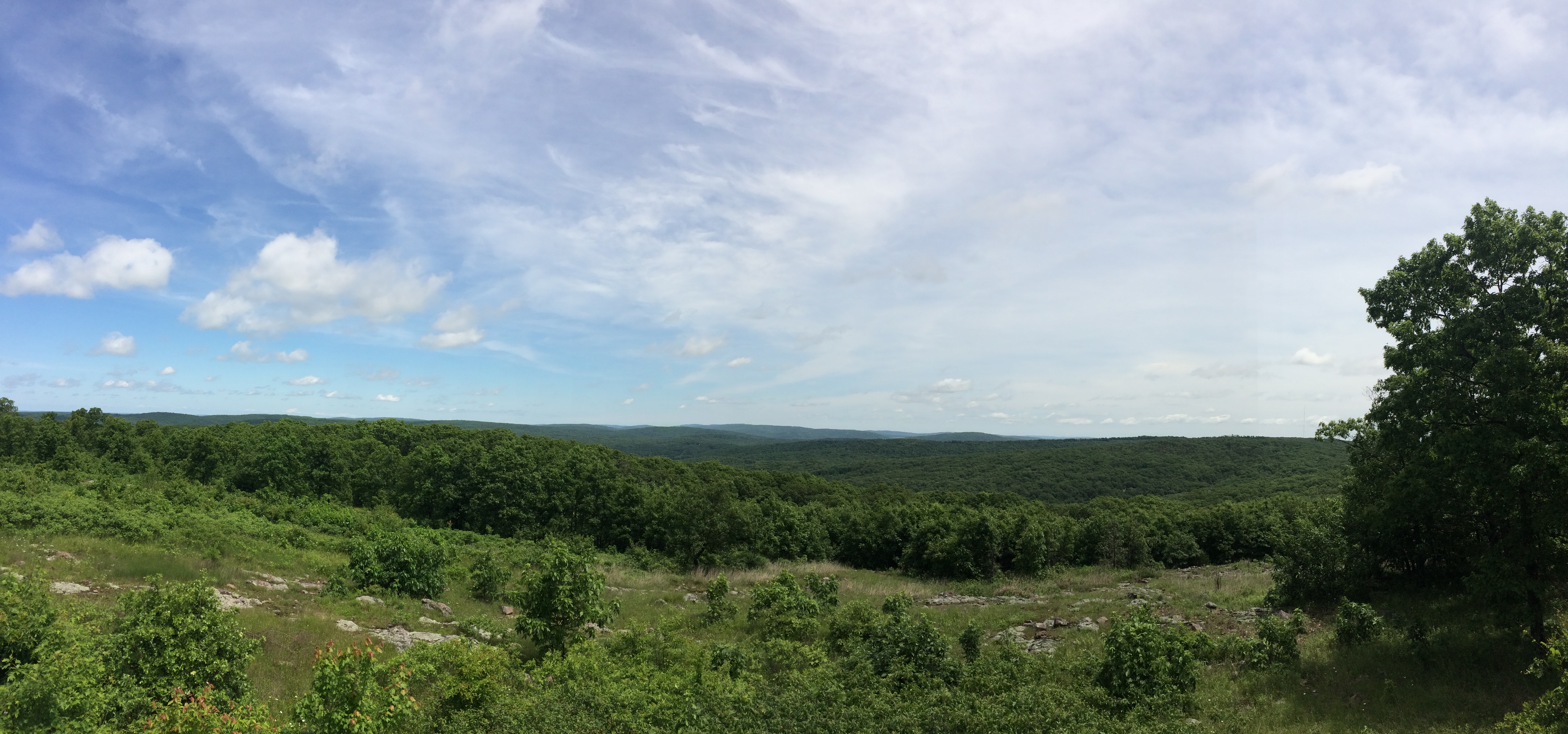
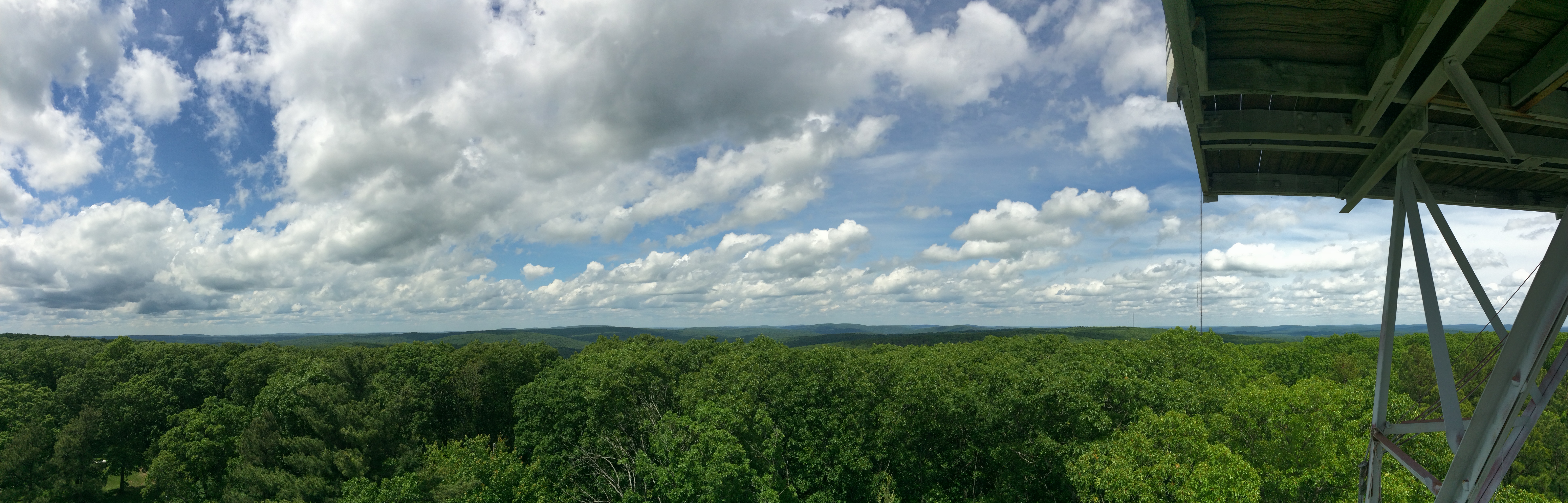
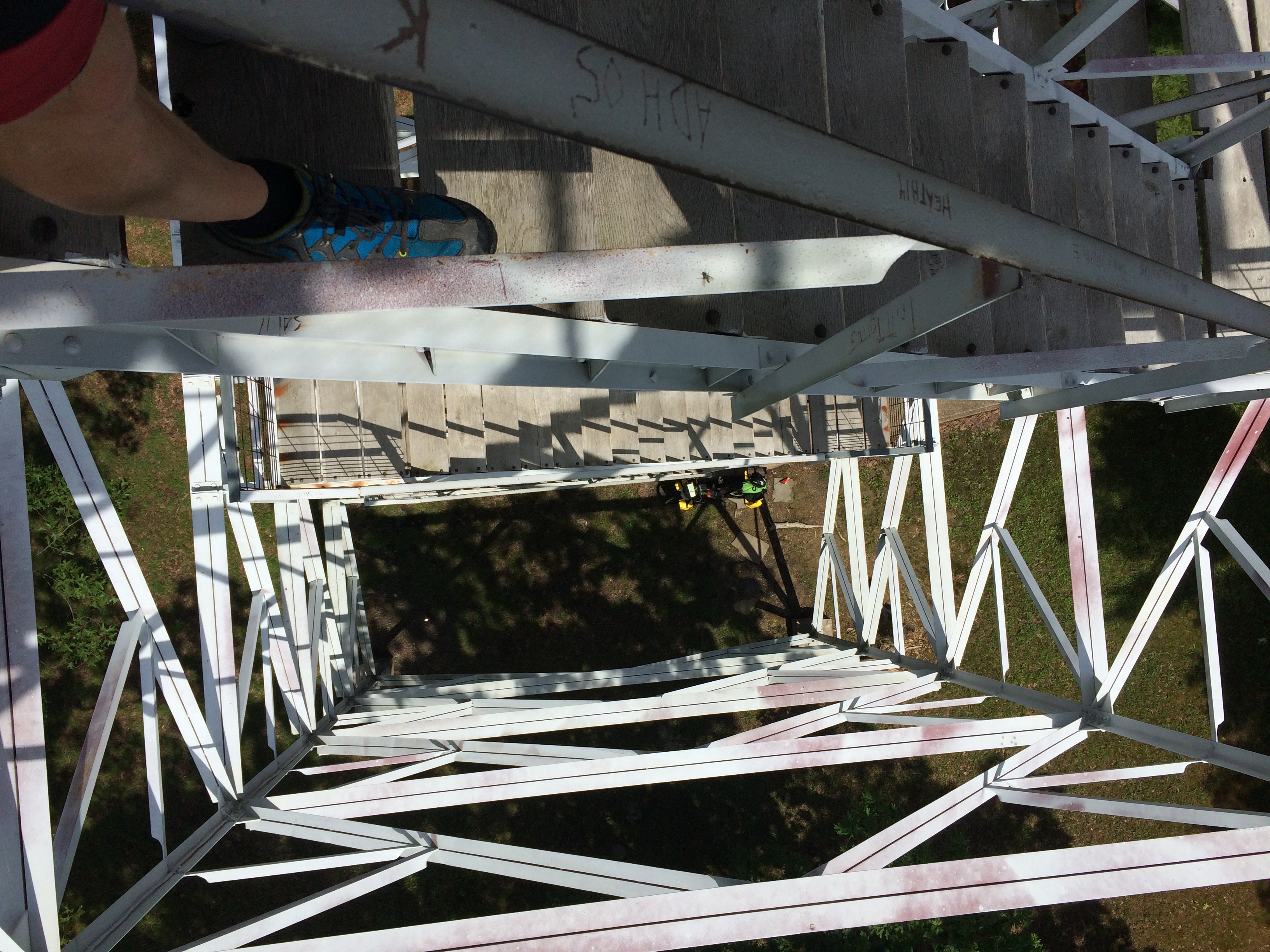
After hiking out I went to check out a viewing tower that was close by. It was locked at the top, but there were still some good views from the stairs.
The descent down the mountain was awesome, but much shorter than I remembered climbing. They always are it seems. Since I was off route I had to decide where to pick the route up again. The plan was to go to Ellington, but the most direct route to there didn’t have many towns on it. I wasn’t getting much cell phone service either, so it was hard to see if there was even a gas station on the way. I was running low on energy and food, so I headed back towards the route to pick it back up at Centerville. The map showed a decent sized town called Lesterville on the way. I found a convenience store there and took a good rest, ate some pizza, and rehydrated. Got a text from Dries saying they went past Ellington to the Current River Campground, about an extra 14 miles. It didn’t look like I was going to make it that far.
Reenergize by the break, I finished out the ride to Ellington. Warmshowers showed that the Chamber of Commerce runs a small hostel for Trans Am cyclists. I looked at the addenda for the Adventure Cycling Map and it showed the information as well. I called all the numbers available, but couldn’t reach anyone. Decided to just go to the address and see if I could figure it out. There was free camping at a city park nearby if all else failed and I couldn’t get into the hostel.
As I rolled into town I saw Brandon walking on the side of the road. He was staying at the hostel. We went there and I unpacked. We went and grabbed some food at a local Mexican joint then made it an early night. Hope to make it about 60-70 miles to a town called Summersville today. Should be out of Missouri and into Kansas, state number five, in about three days!